Overview
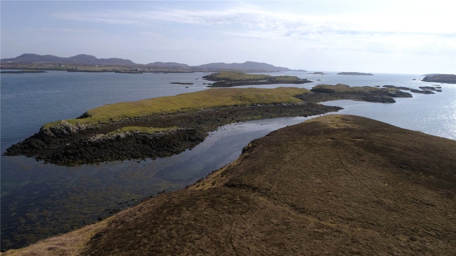
- Idyllic location with far reaching water views
- Ideal lifestyle opportunity
- Potential to decroft an area and build a croft house (subject to necessary consents)
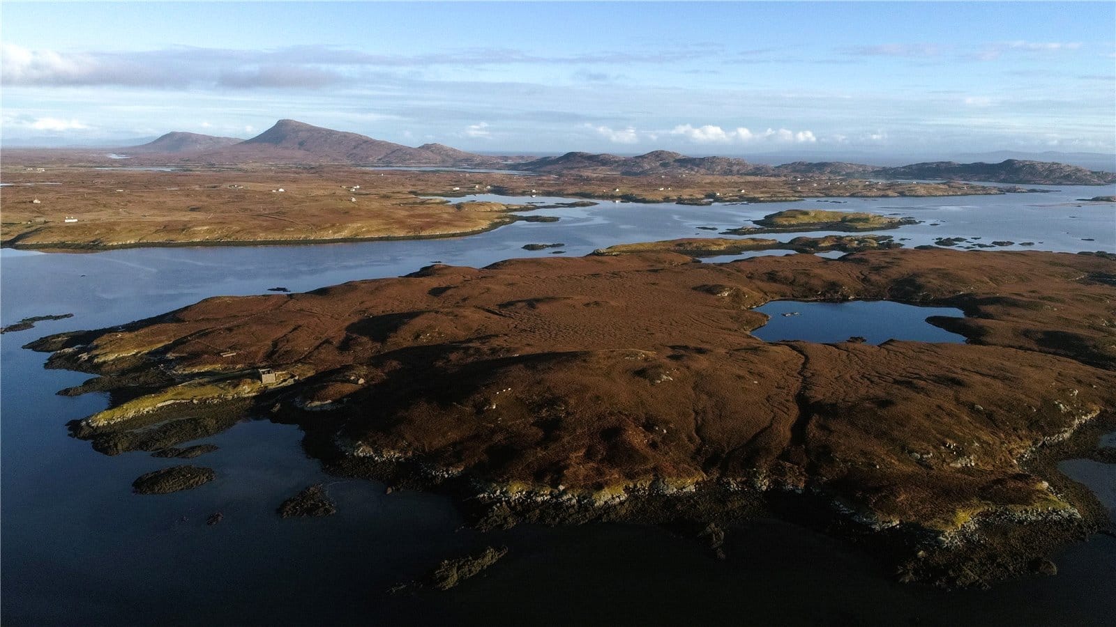
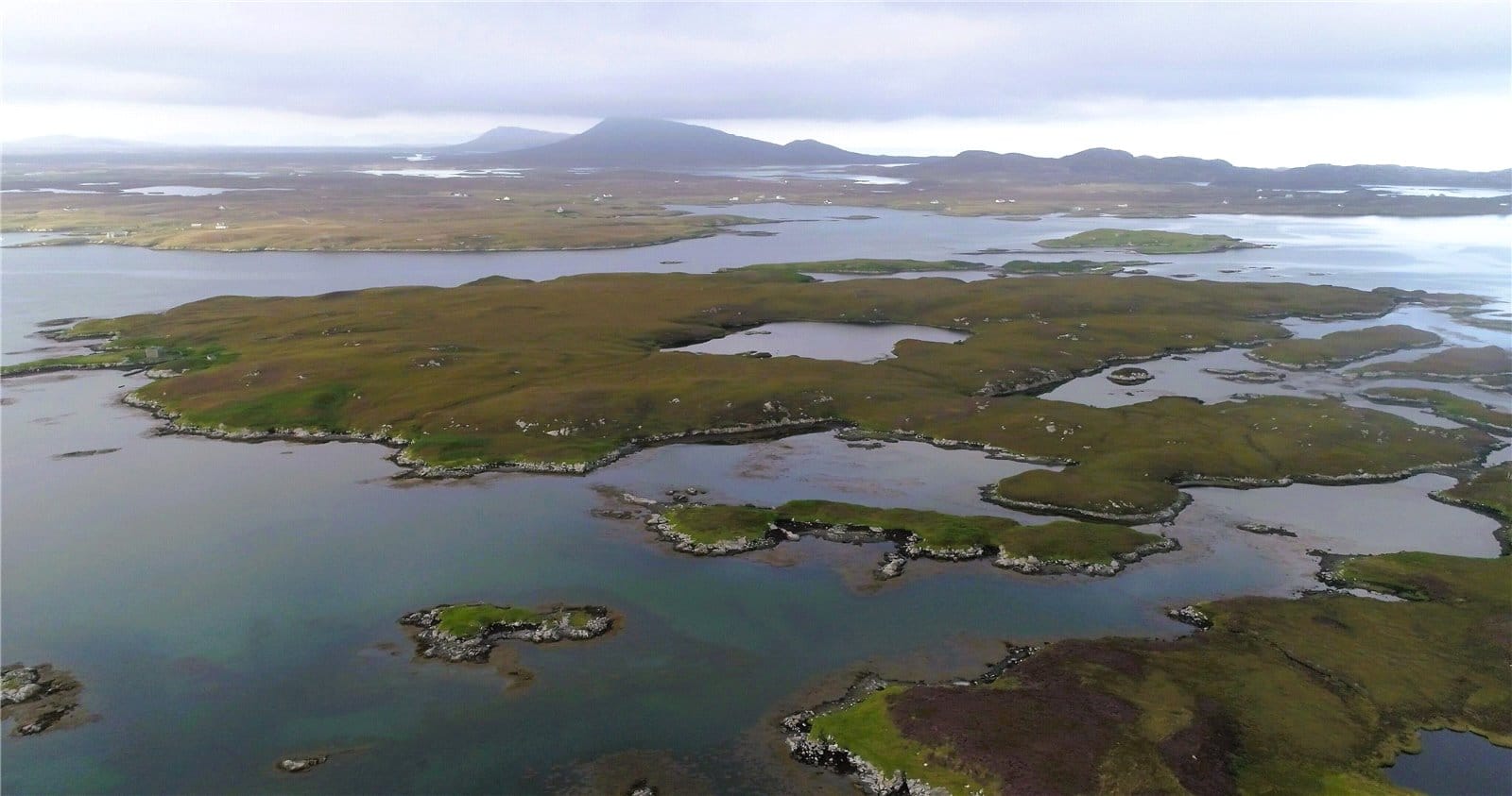
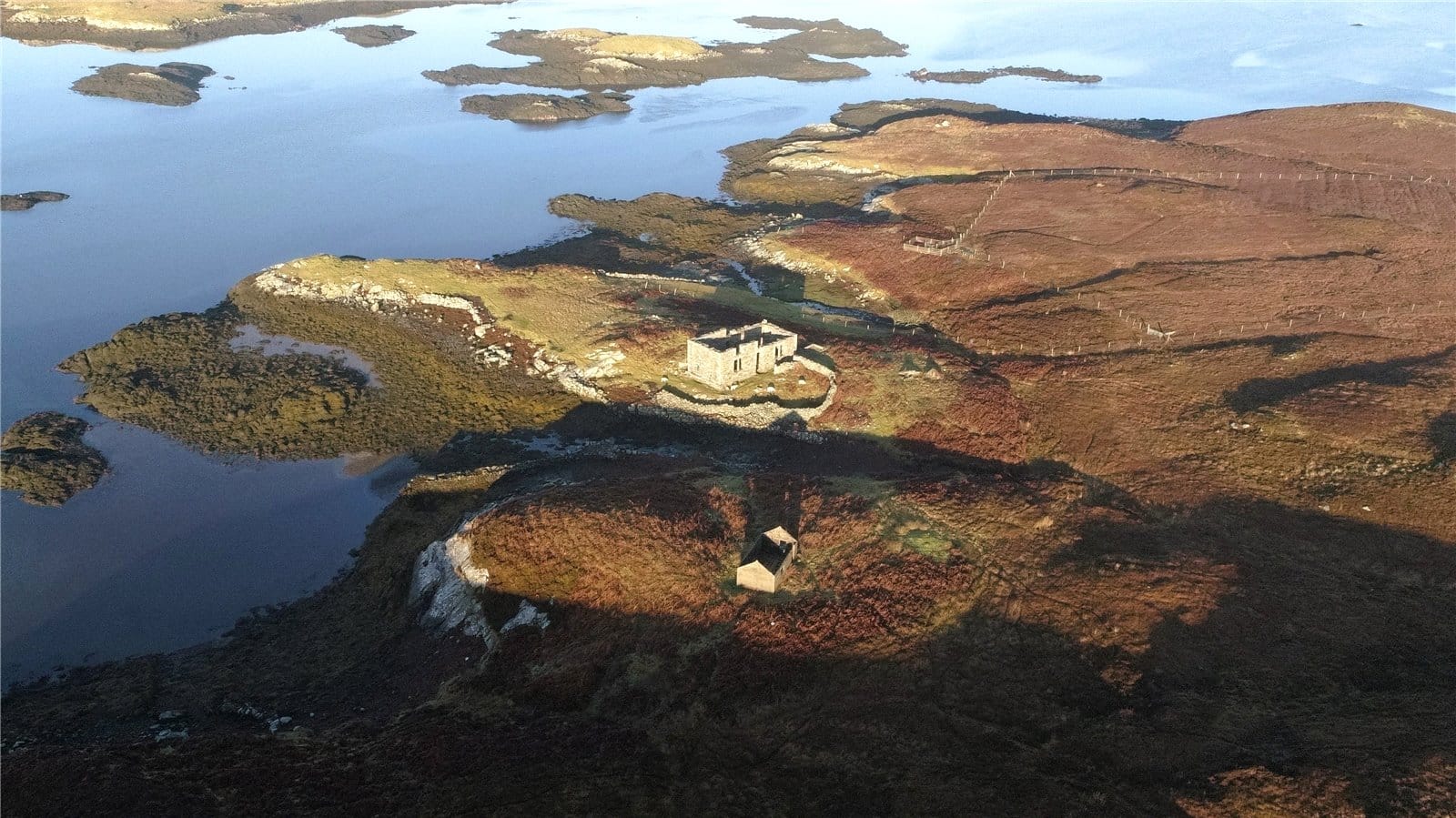
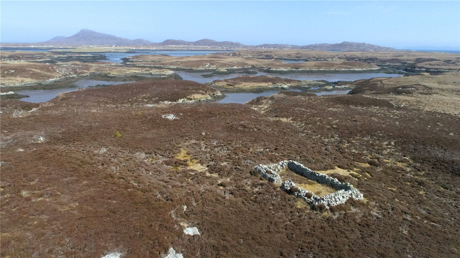
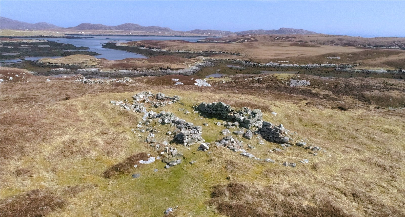
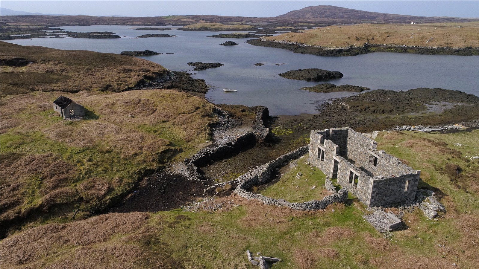
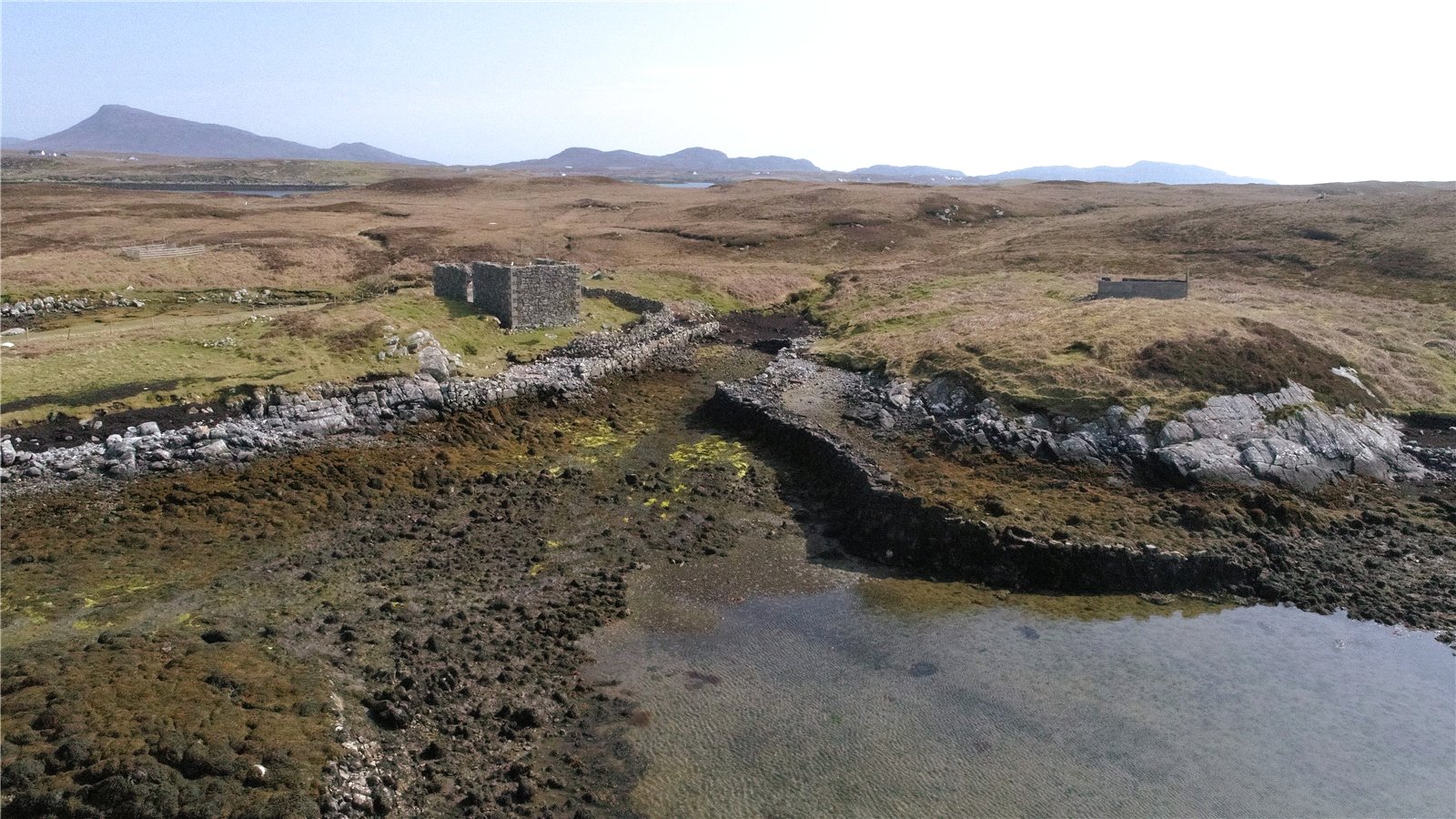
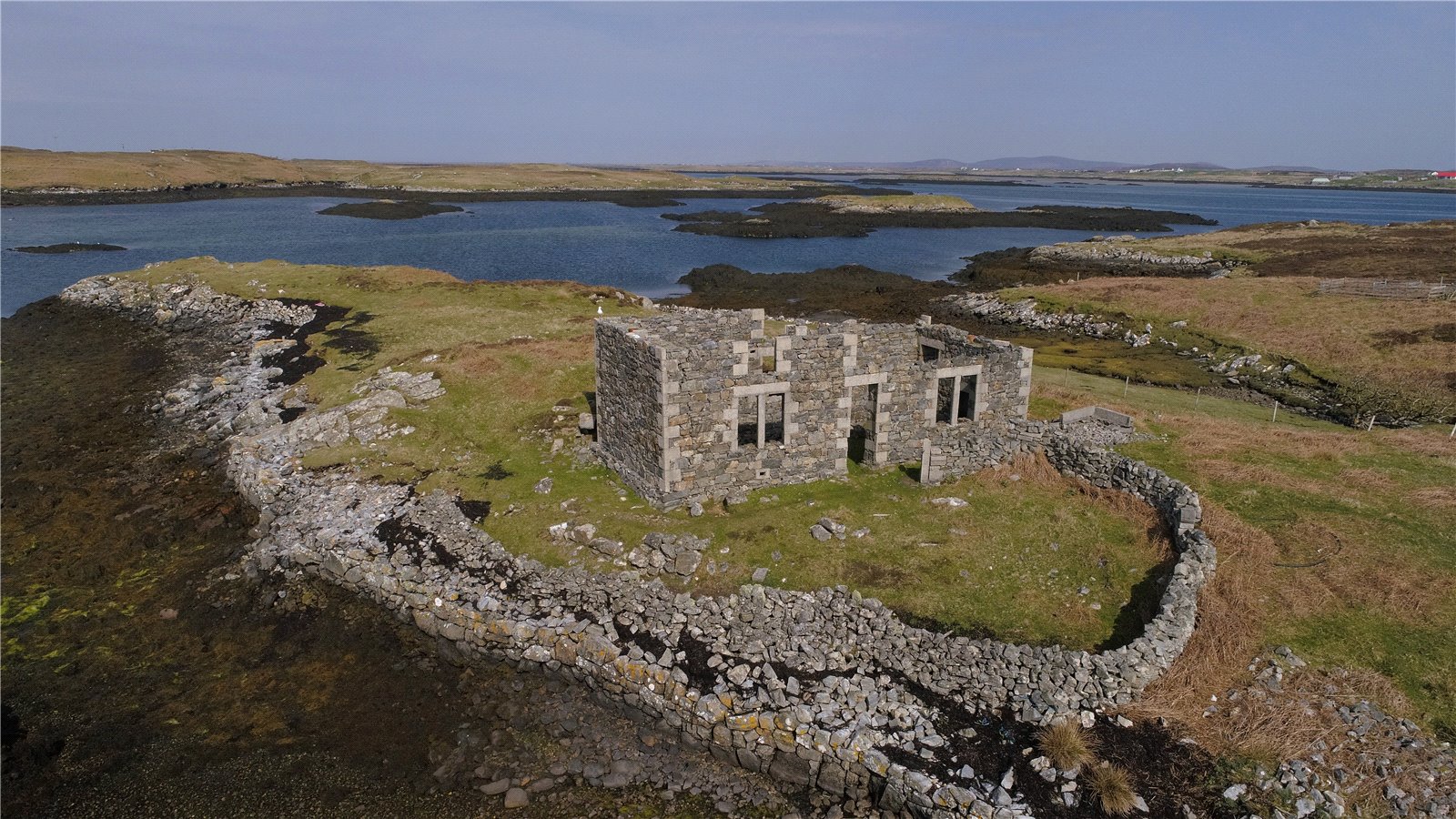
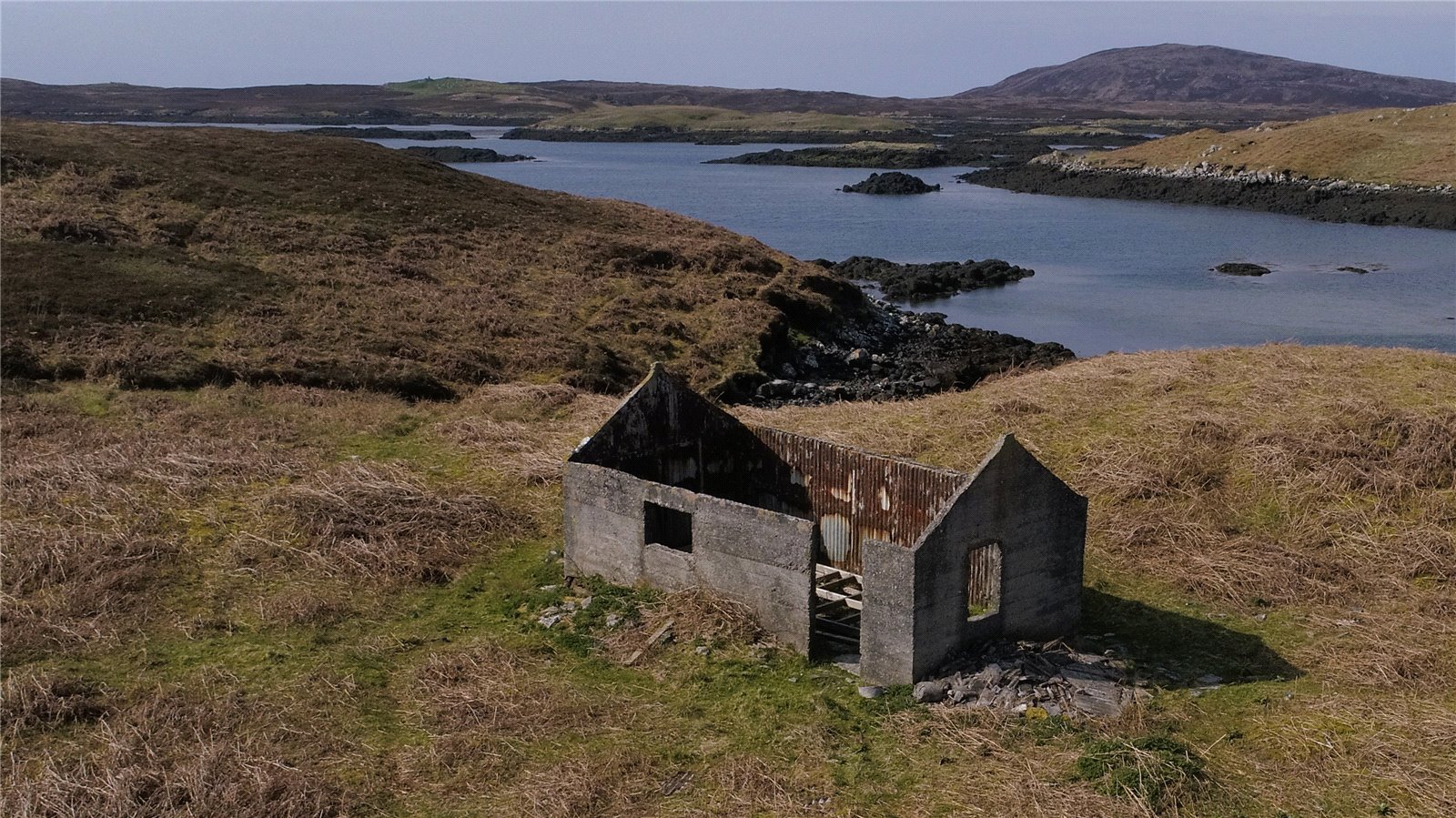
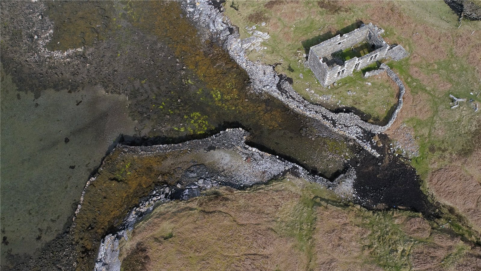
Croft 2 Nunton Hill is located on the northeast of the Isle of Benbecula in the Western Isles. It is approximately 5 miles east of Benbecula airport. The croft has no residential property, though there are three ruined/unfinished houses. These include an archaeological site of an ancient ruin which is in the style of a Viking longhouse although it has never been established if it dates as far back as Viking occupation, the remains of a sheiling dating to the 18th century and the remains of a family residence used between 1930 and 1952.
There was also a one and a half storey house under construction up until 1952, but not completed as the island has been uninhabited since that date.
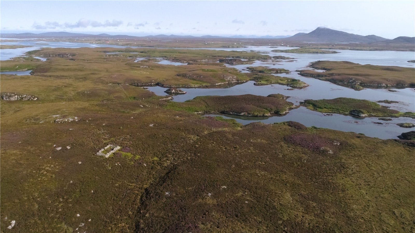
The croft is registered as an owner-occupied croft. The land is made up of various small islands and small lochs.
The total area of 2 Nunton Hill is approximately 119.02 hectares (294.10 acres). The Croft
is owner-occupier. The register number is I5422 and the croft file number is 9832.
The land is registered for IACS payments and eligible for the Basic Payment Scheme. The main location code is 465/0070. The land is classed as Severely Disadvantaged and is in payment region 3. The entirety of the croft is recorded as an area naturally kept. All the land is grade 6.3 on the Macauley National Scale of Land Capability for Agriculture which can be defined as:
6.3 ‘land is capable of only rough grazing due to intractable physical limitations; the semi-natural
vegetation provides grazing of low value’
As there is not a croft house on the croft, it may be possible to de-croft a house site subject to Crofting Commission approval and apply for Planning Permission for a dwelling house (subject to necessary consents).

