
Carl Warden
Perth
01738 621 121
Offers Over
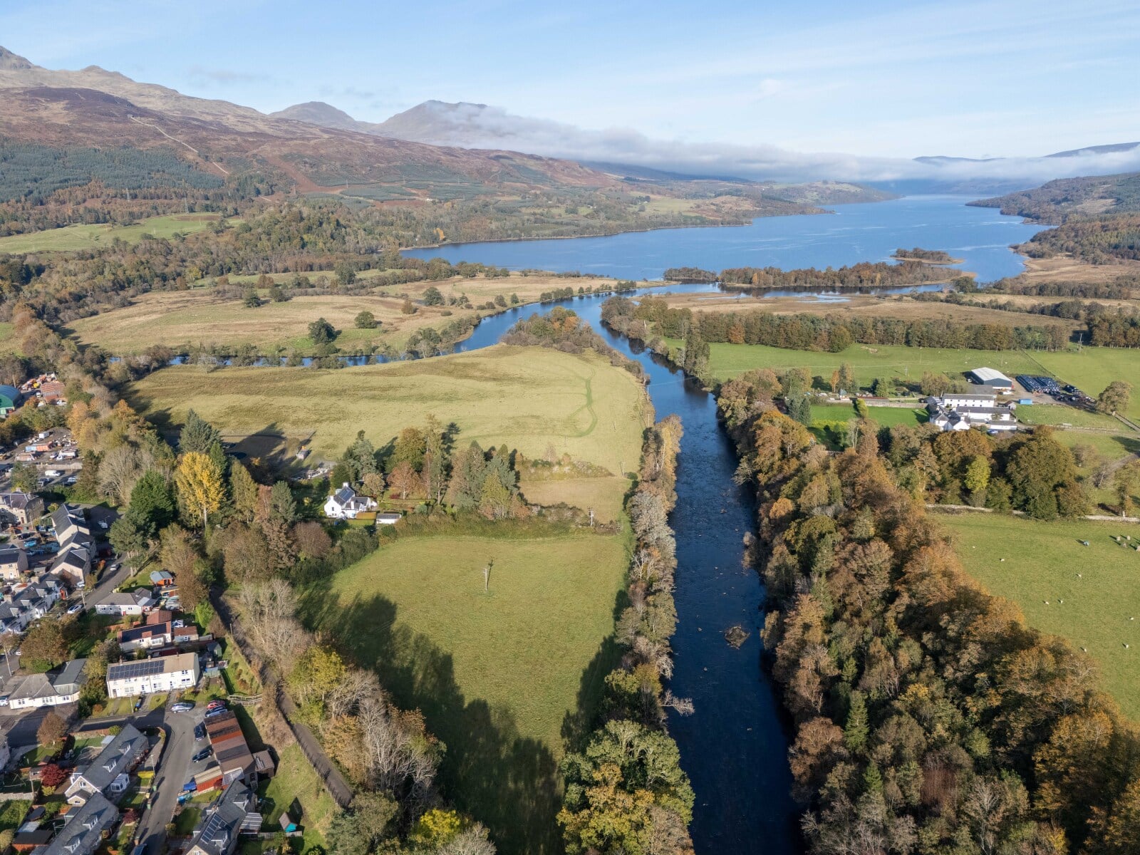
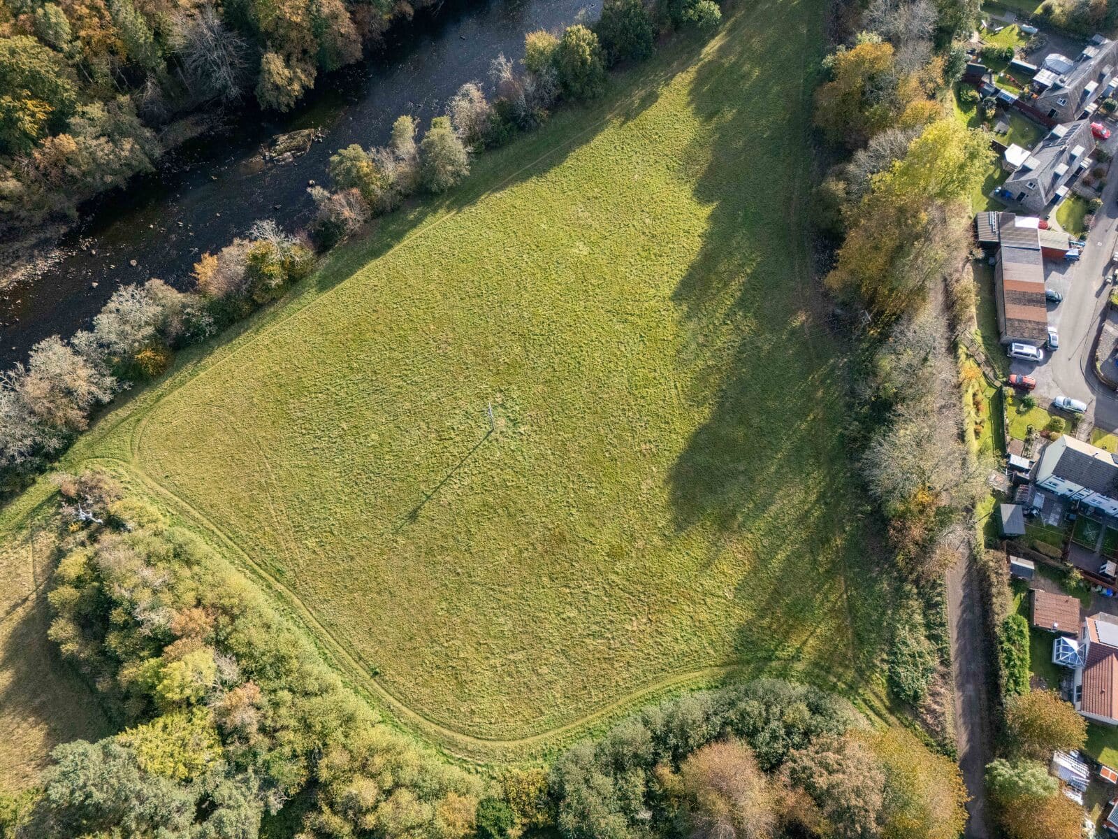
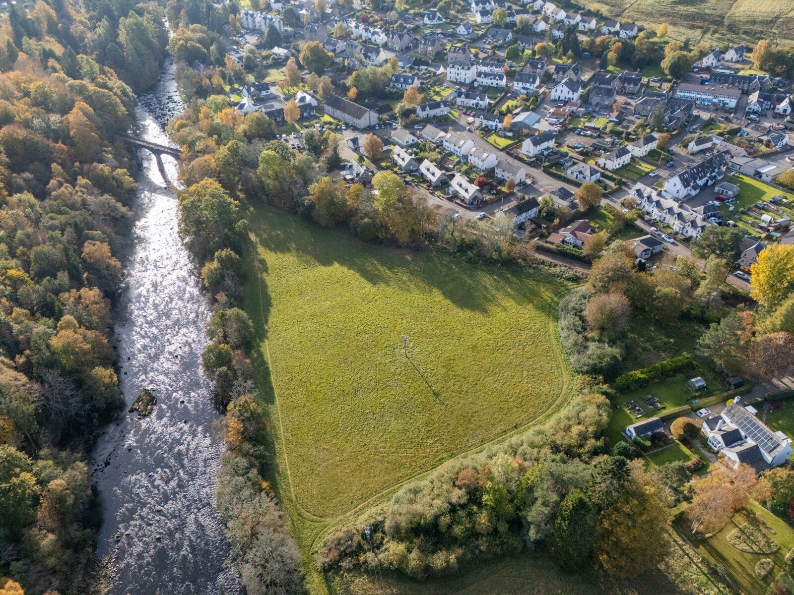
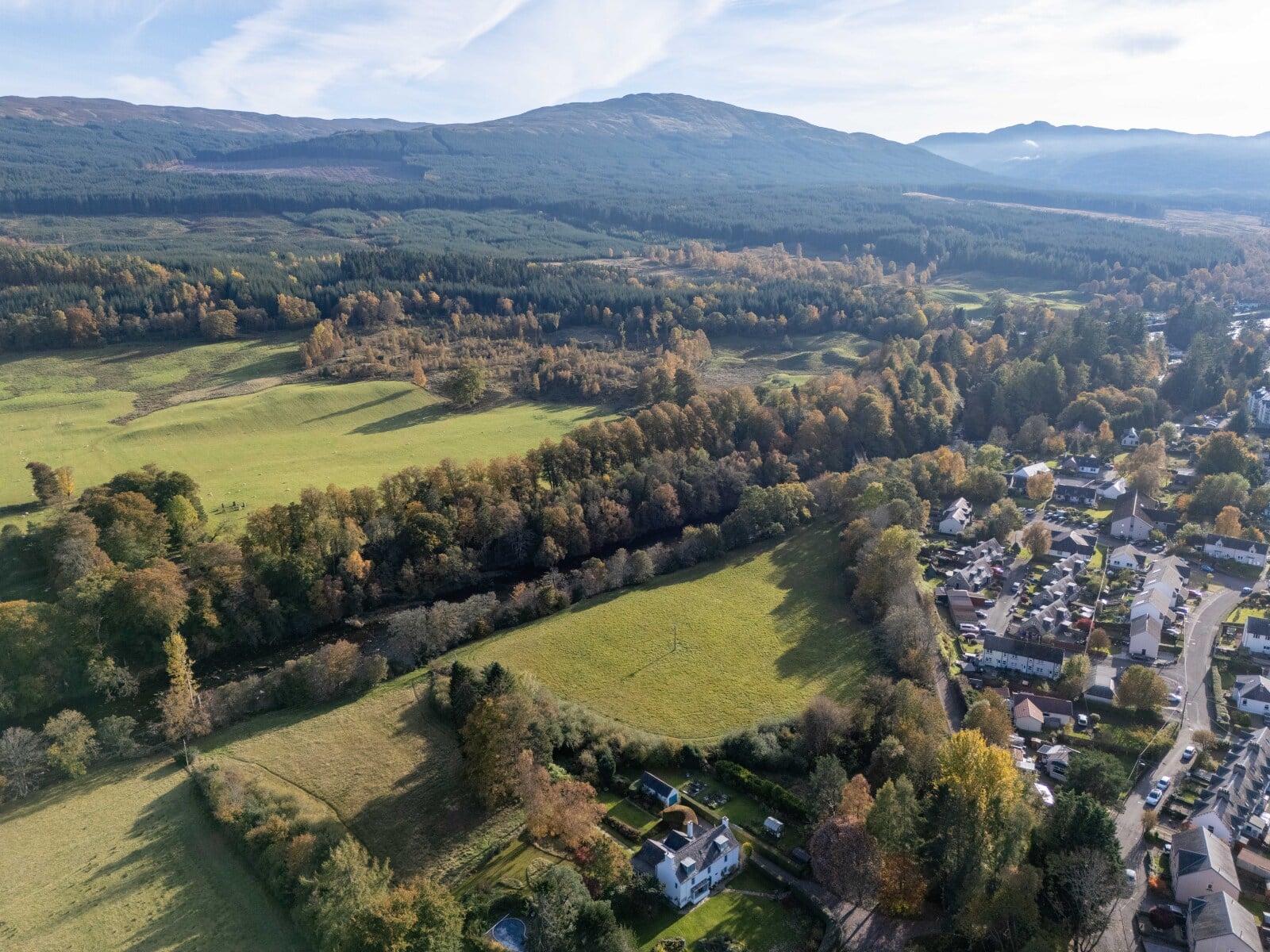
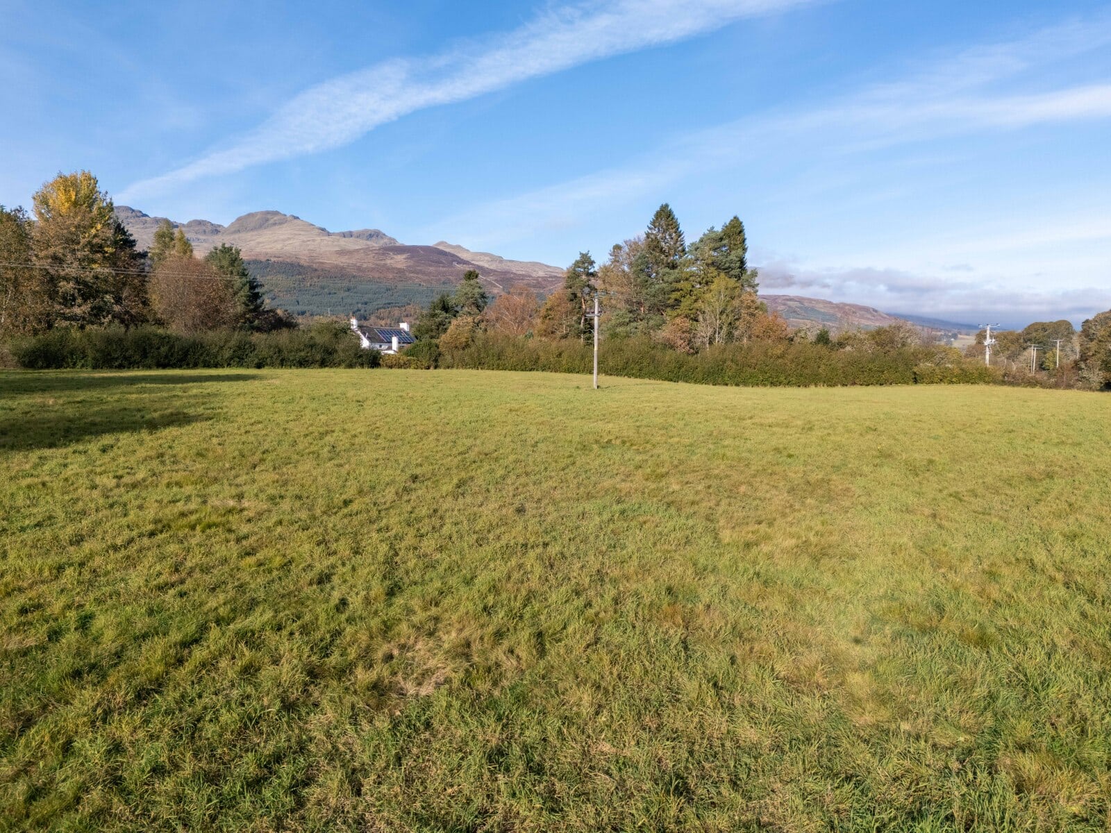
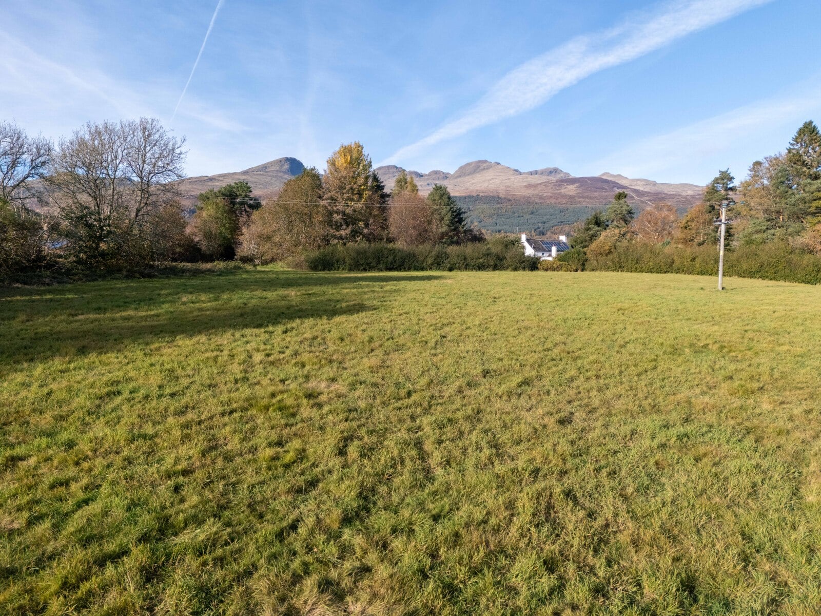
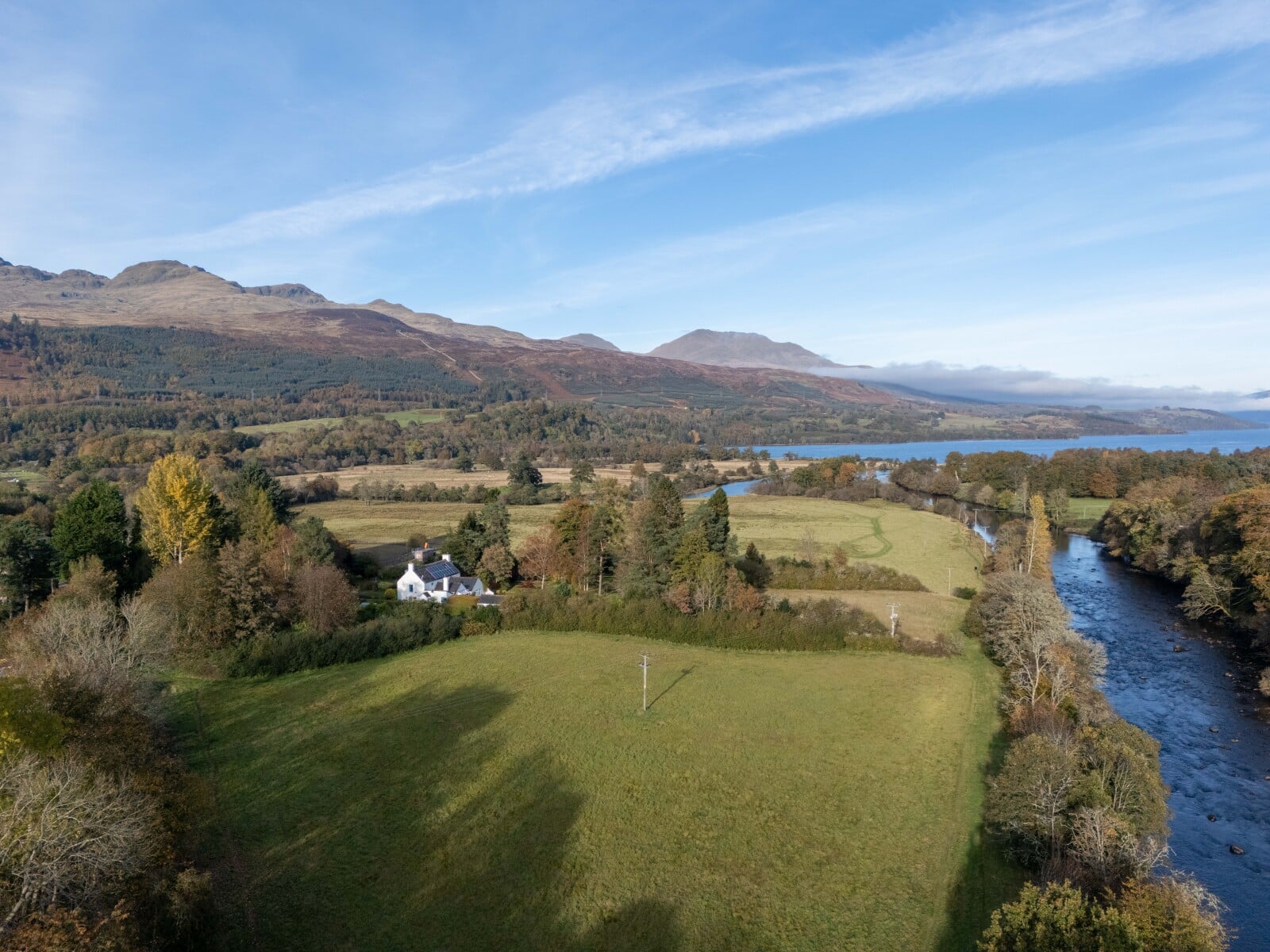
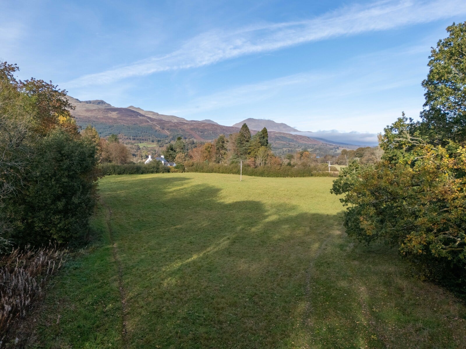
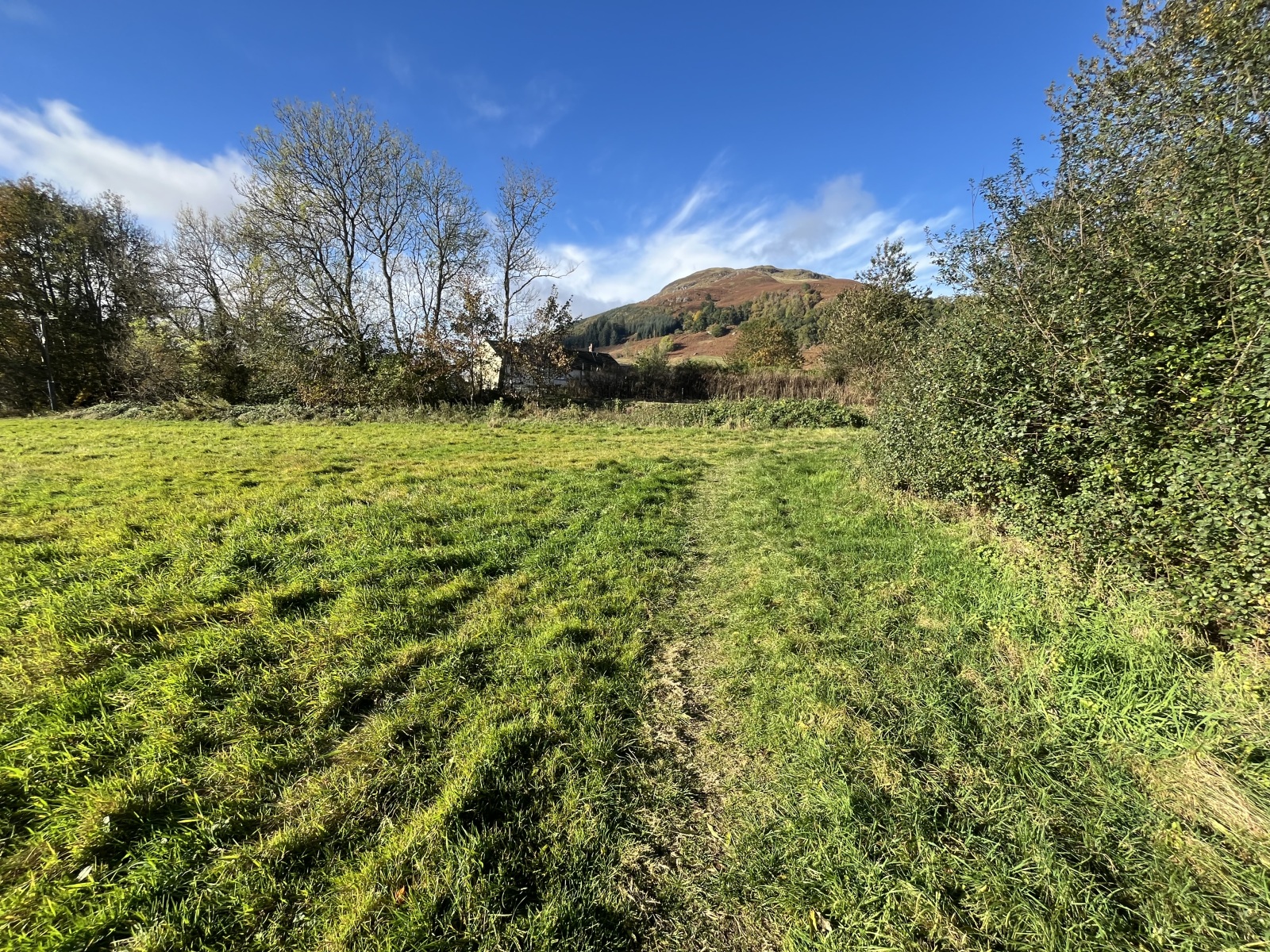
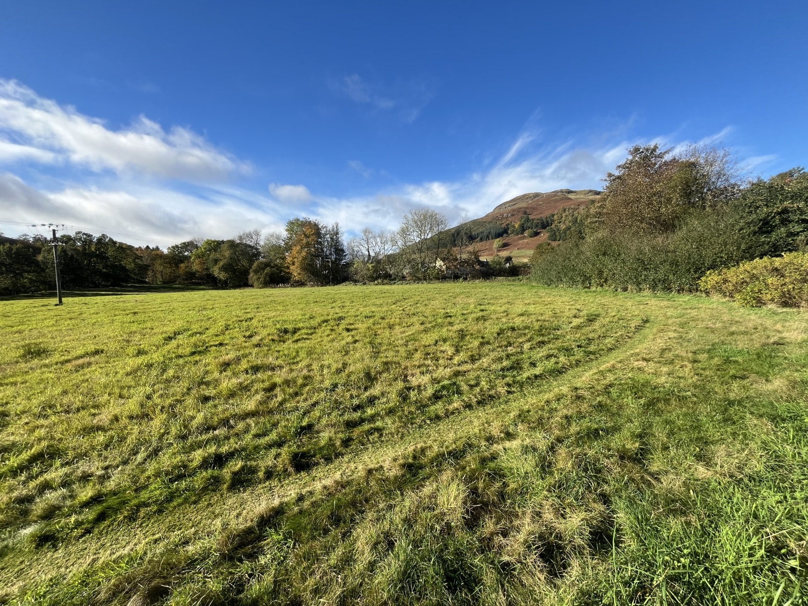
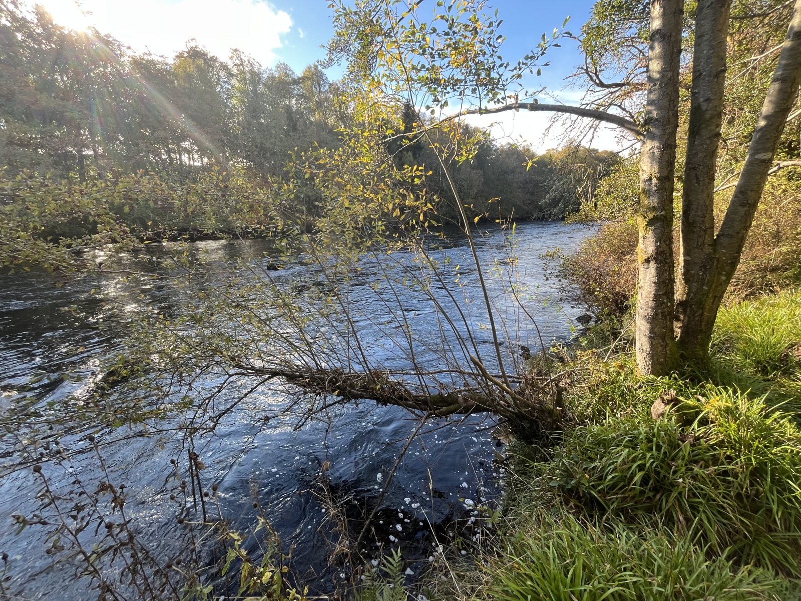
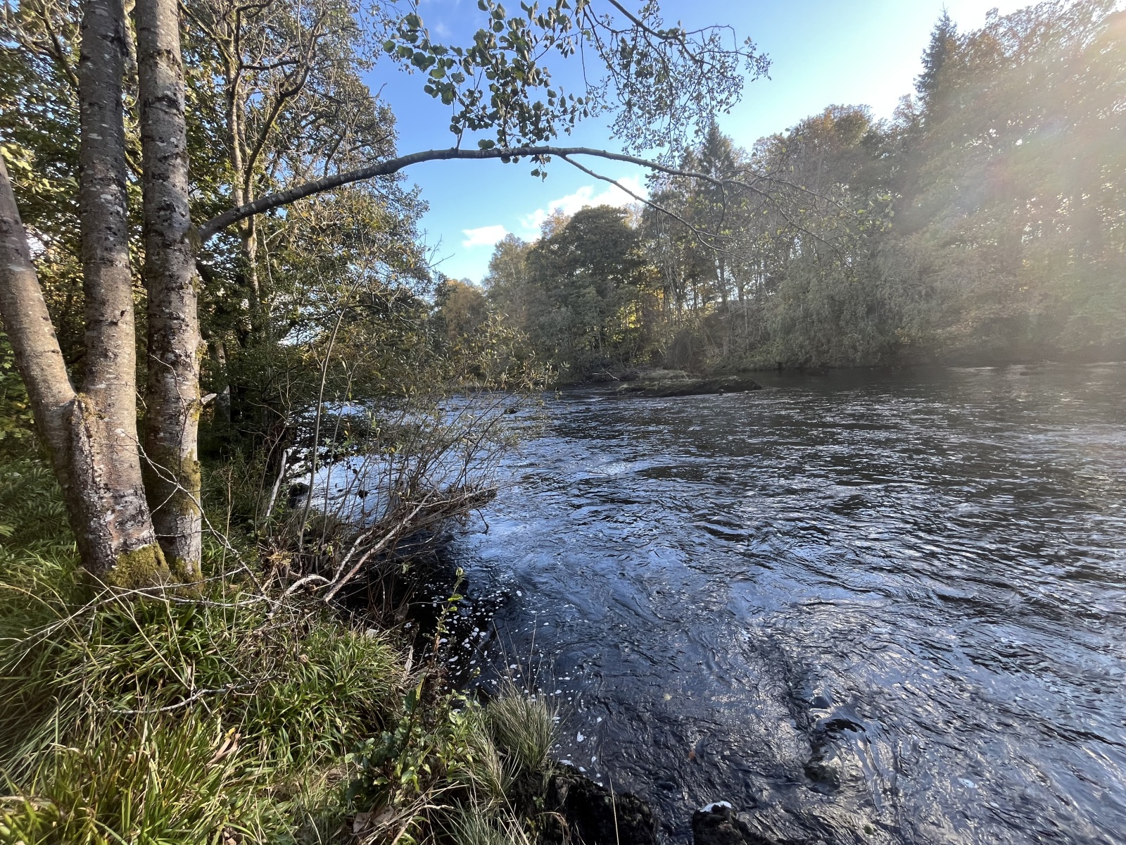
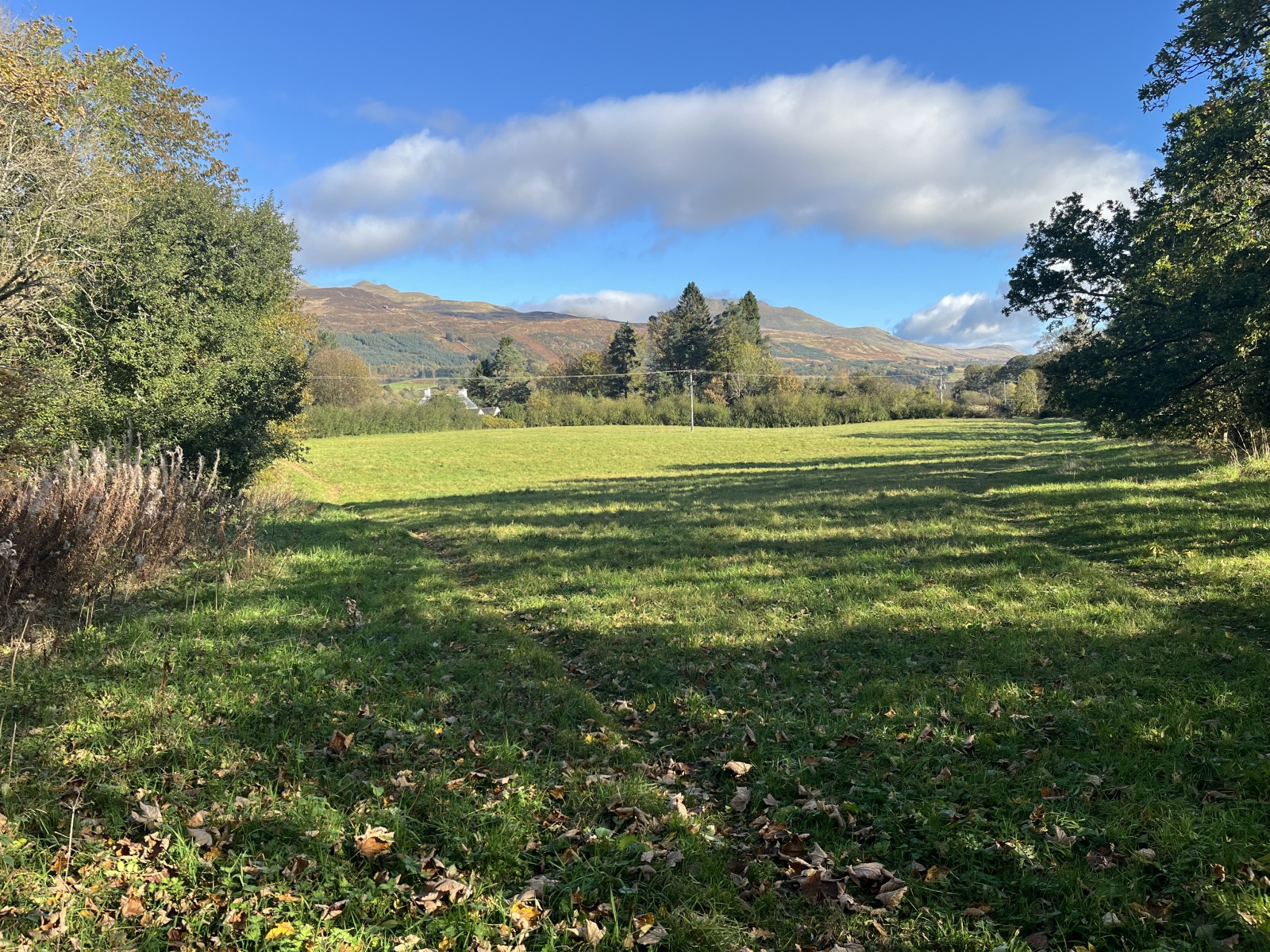
A parcel of land extending to approximately 3.97 acres. Beautifully positioned on the edge of the village of Killin and within the Loch Lomond and The Trossachs National park, the land extends down to the banks of the River Dochart
Loch Lomond & The Trossachs National Park is one of Scotland’s most stunning and diverse natural areas, offering a mix of lochs, mountains, forests, and charming villages. The village of Killin is located at the western end of Loch Tay, and it sits on the eastern boundary of the park. It is often considered a gateway to the Breadalbane area of the park, which is known for its dramatic mountains and glens.
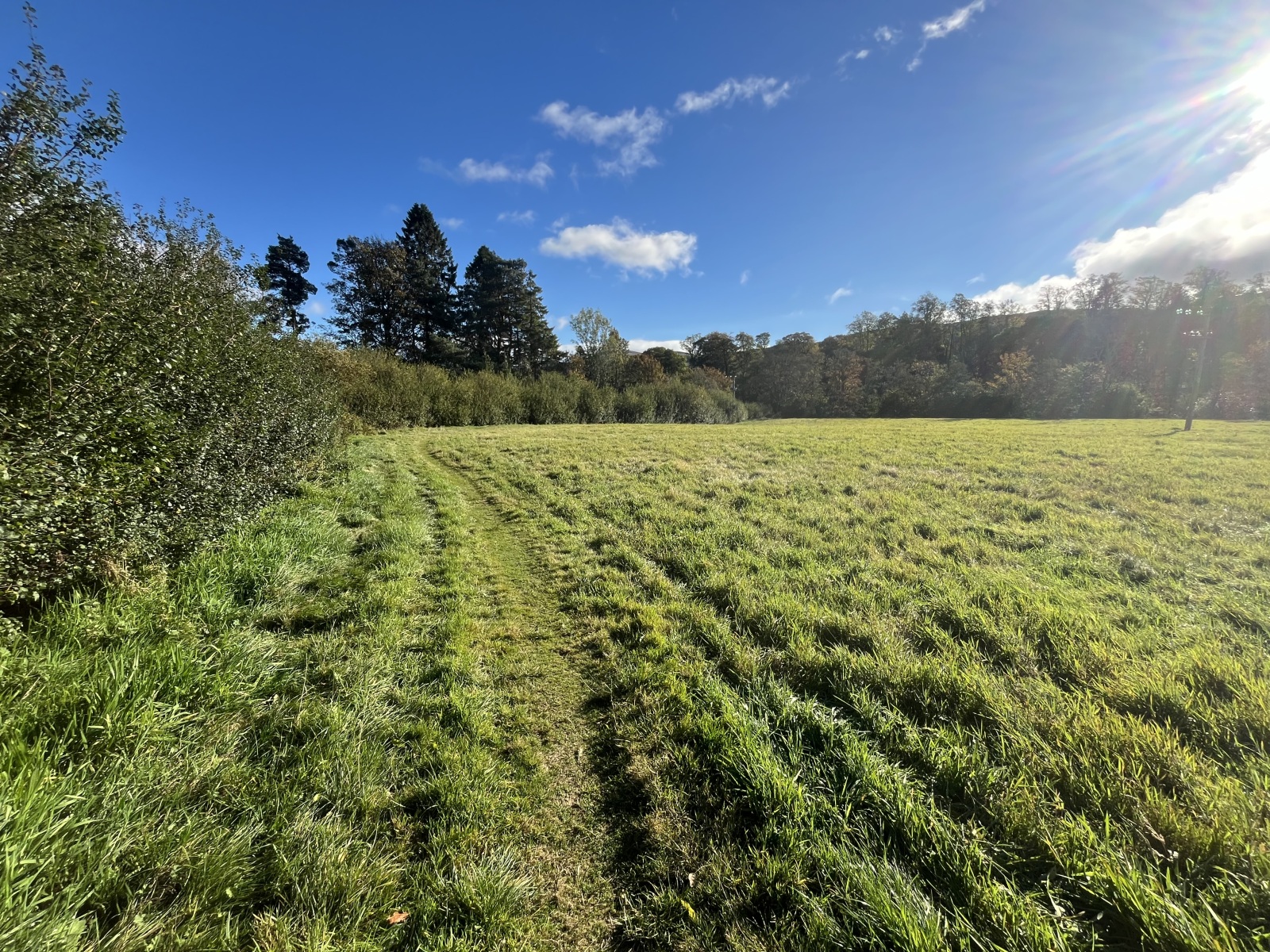
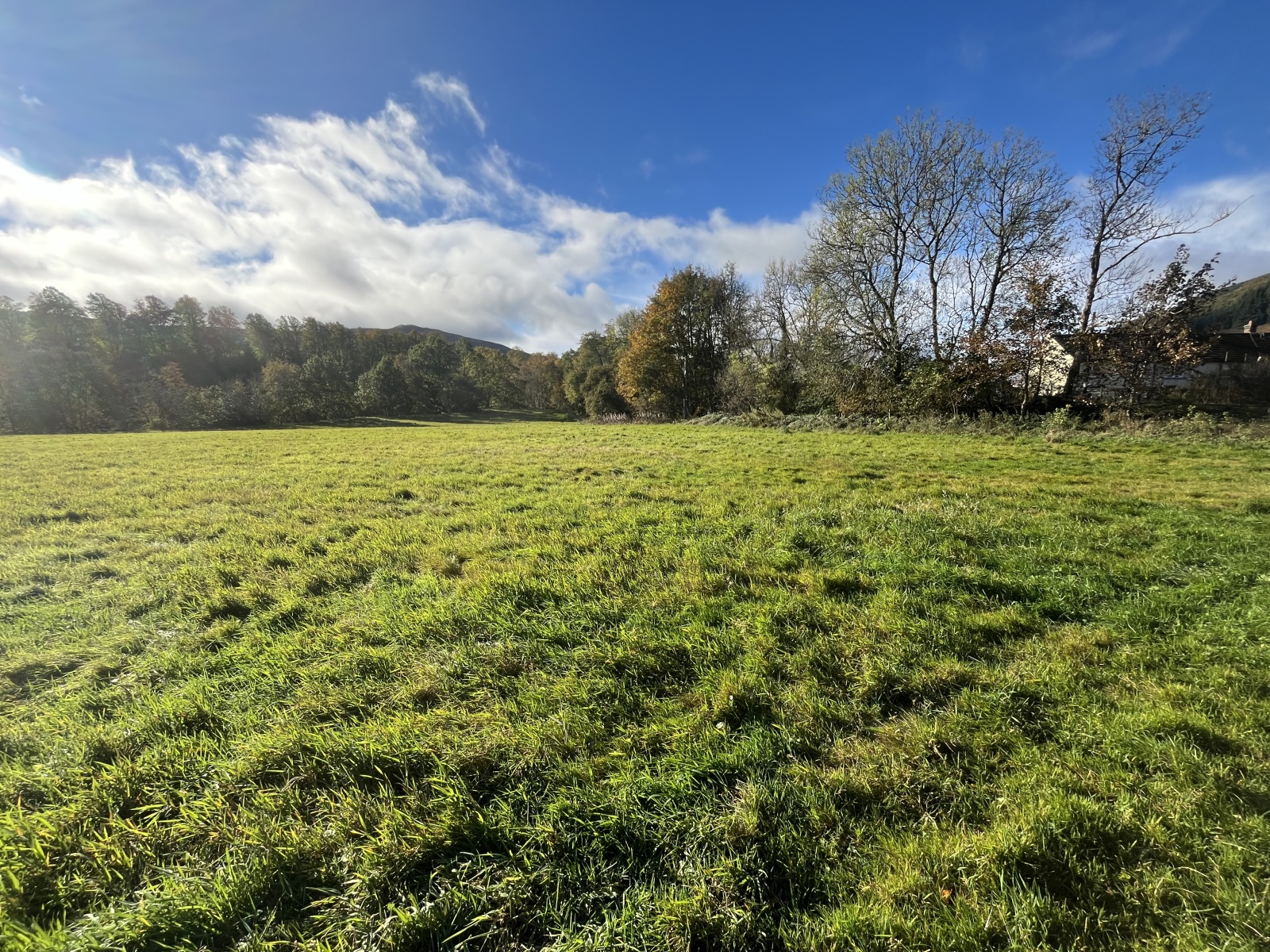
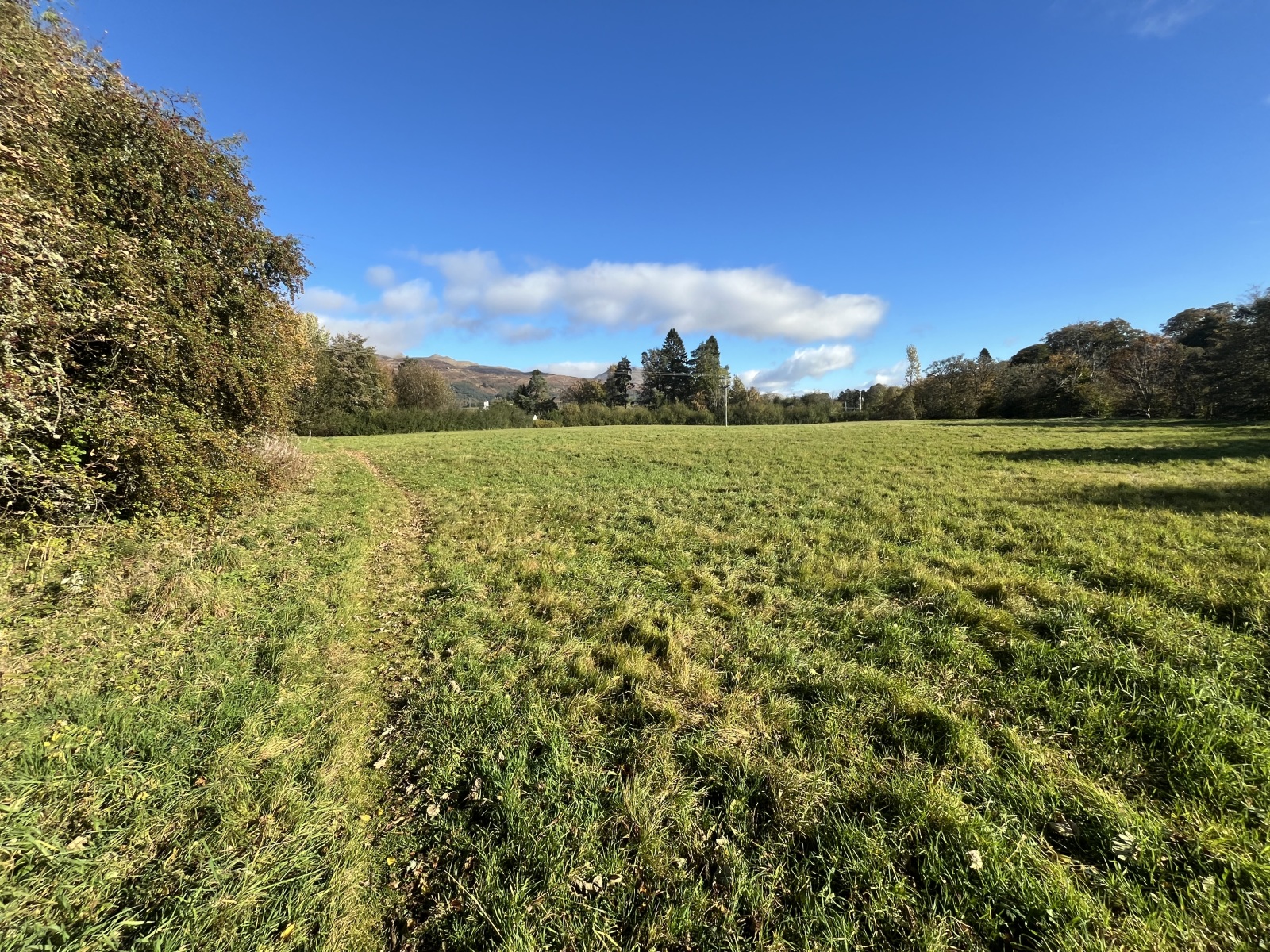
The land extends to about 3.97 acres of level grassland, bordered by mature trees that naturally define its boundaries. While the land is currently unfenced, the tree line provides a clear visual indication of its extent. It stretches down to the banks of the River Dochart, with around 200 metres of river frontage.
The land has recently been used for silage production, offering potential for continued agricultural use or other rural pursuits. Additionally, trout fishing rights are included, providing a valuable recreational opportunity.
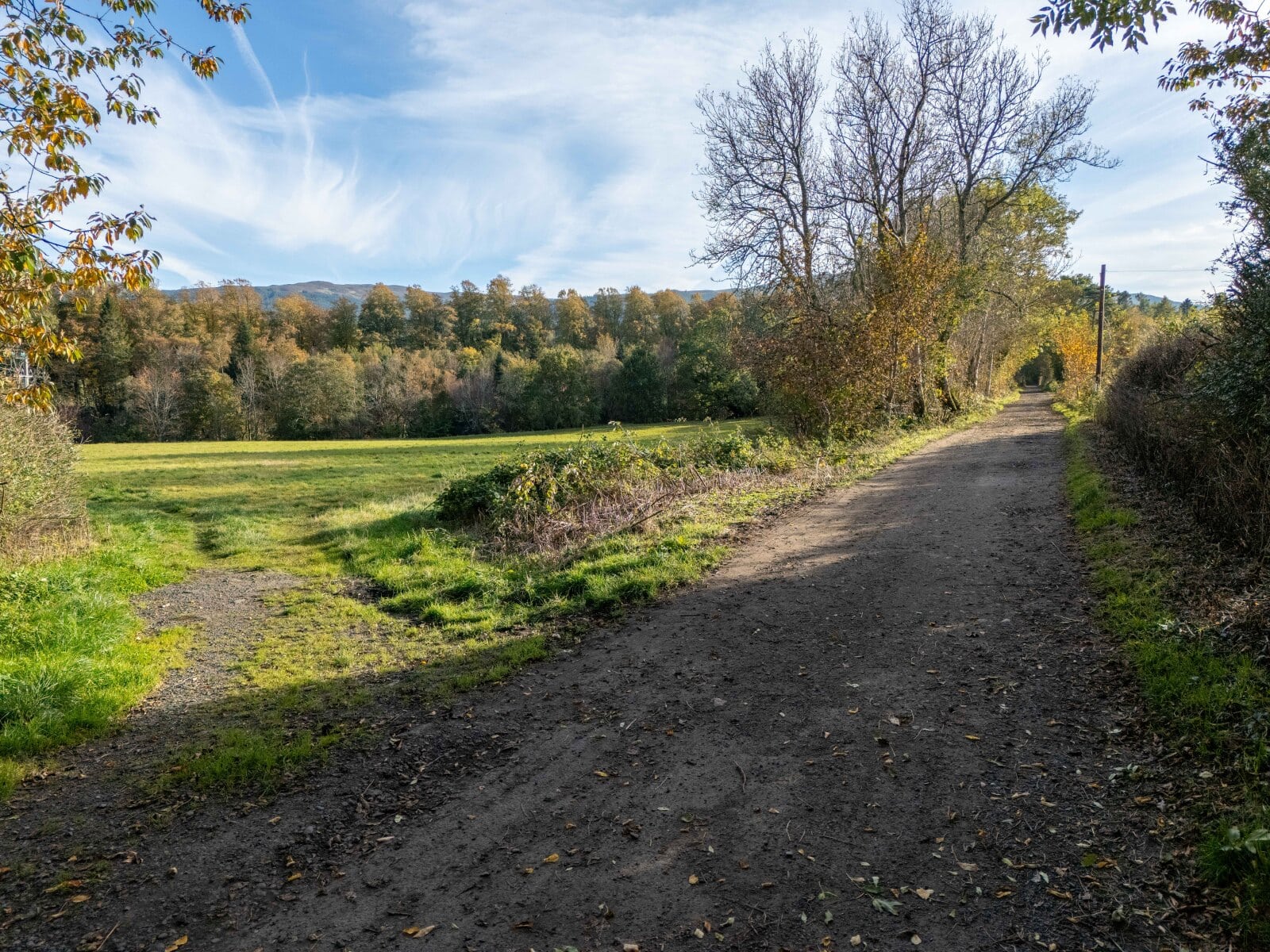
Running along one side is Core Path Ref. No. S0968 which delineates the boundary to the land. It follows the route the old railway line and leads on to the historic Dochart Viaduct and continues on to the stunning and much-photographed Falls of Dochart, making this an ideal location for those who appreciate natural beauty and outdoor activities.
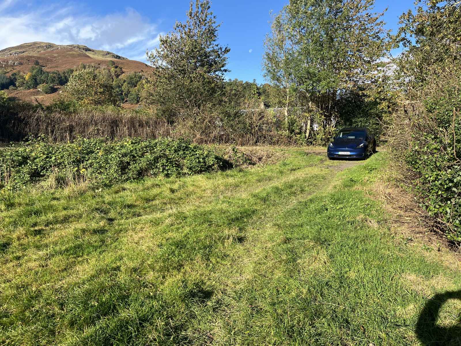
There is a servitude right of access from Lyon Road with additional rights to connect to the mains services located in the road.
The land is being sold as agricultural land. In the event that the purchaser or their successors in title obtains commercial or residential planning permission, within 25 years of the date of sale, the purchaser or their successors in title shall pay to the seller 25% of the uplift from its current agricultural value to that of development land.