
Carl Warden
Perth
01738 621 121
Offers Over
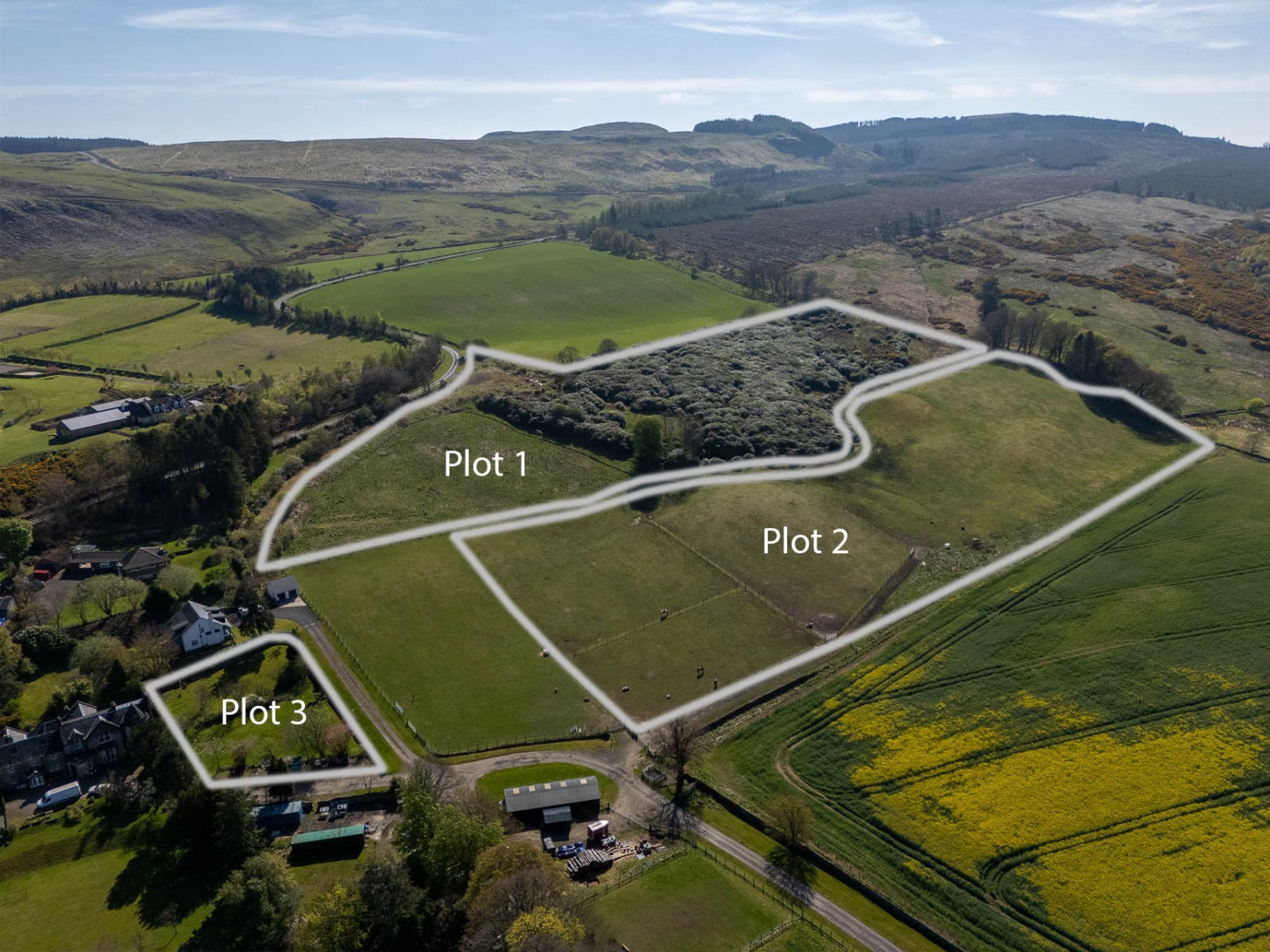
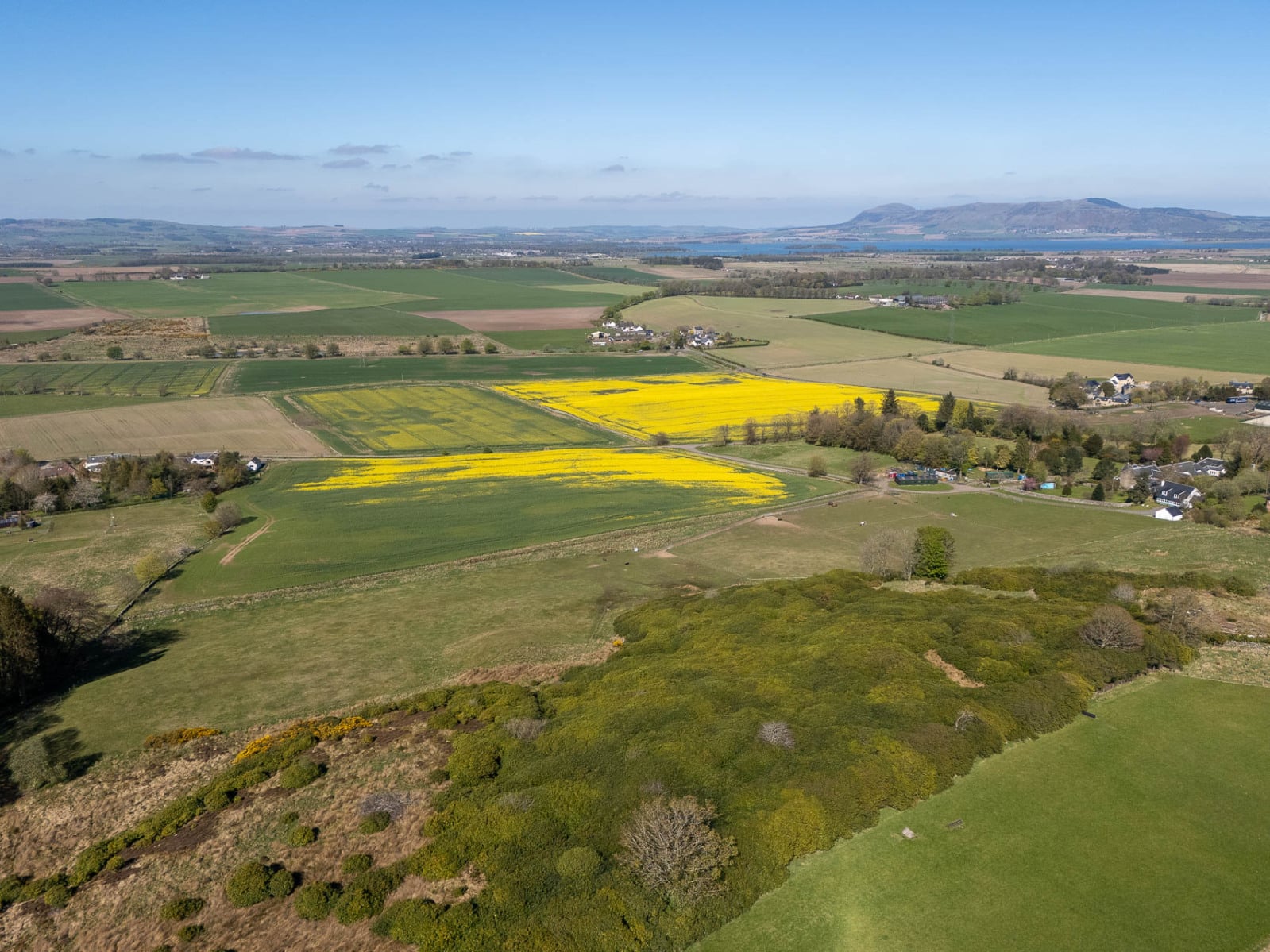
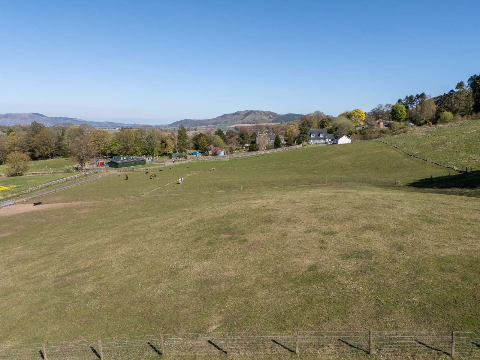
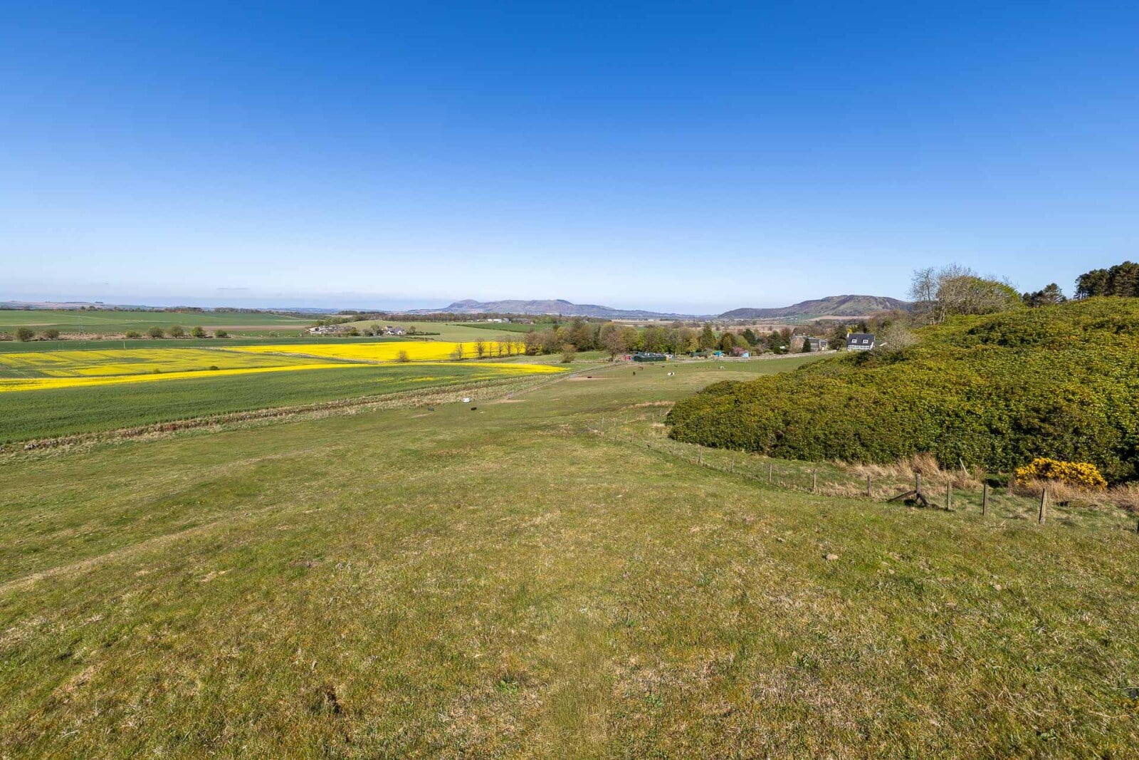
Land extending to approximately 17.25 acres, comprising hill land, equestrian land with planning consent for stabling and an arena, and a building plot within a walled garden. Available for sale as a whole or in separate lots.
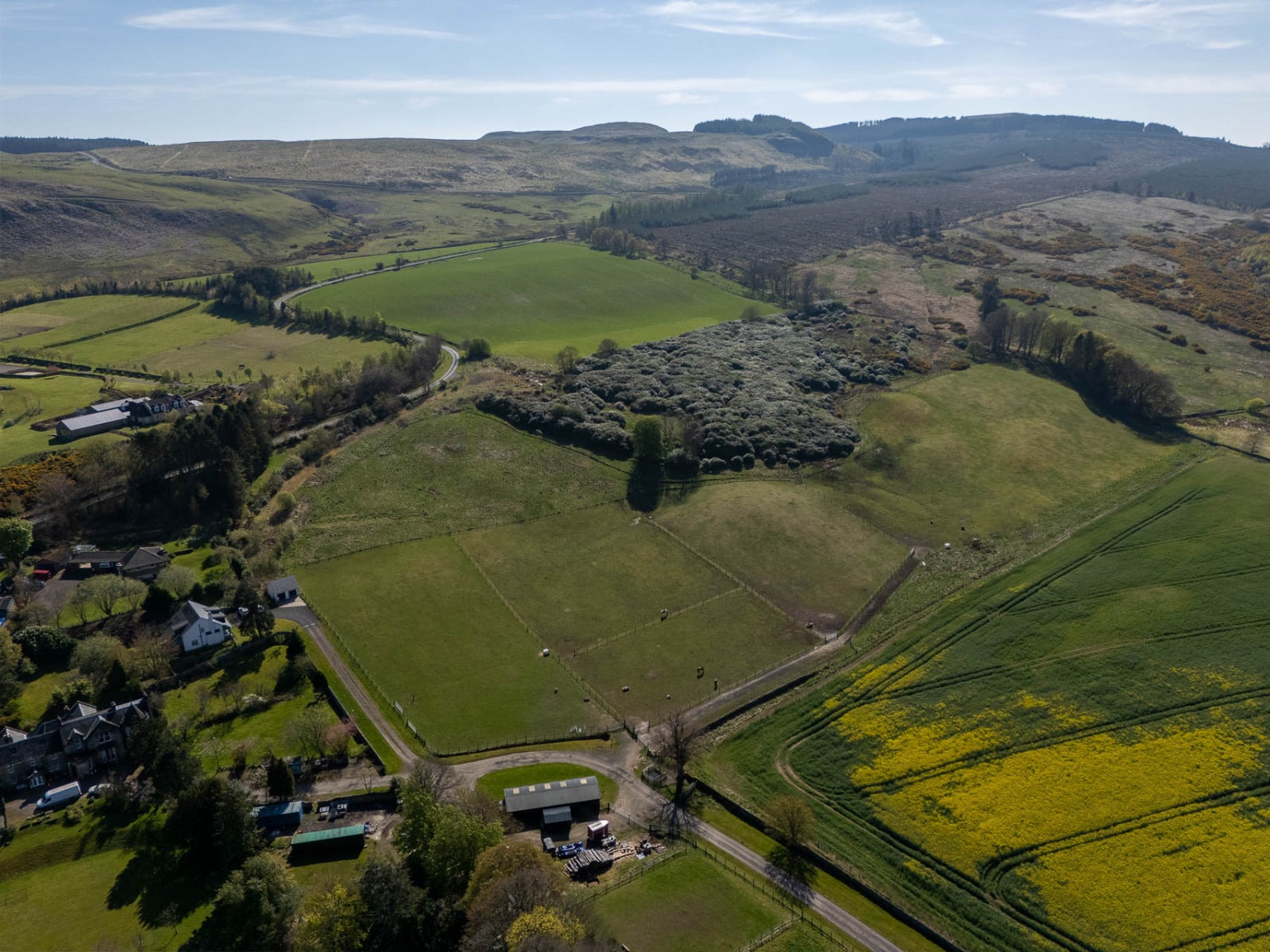
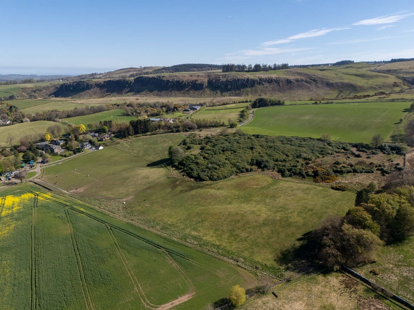
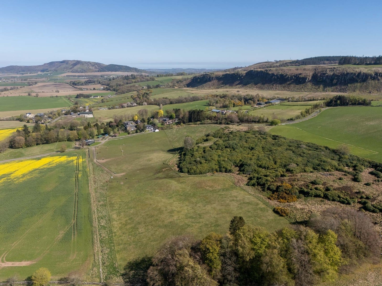
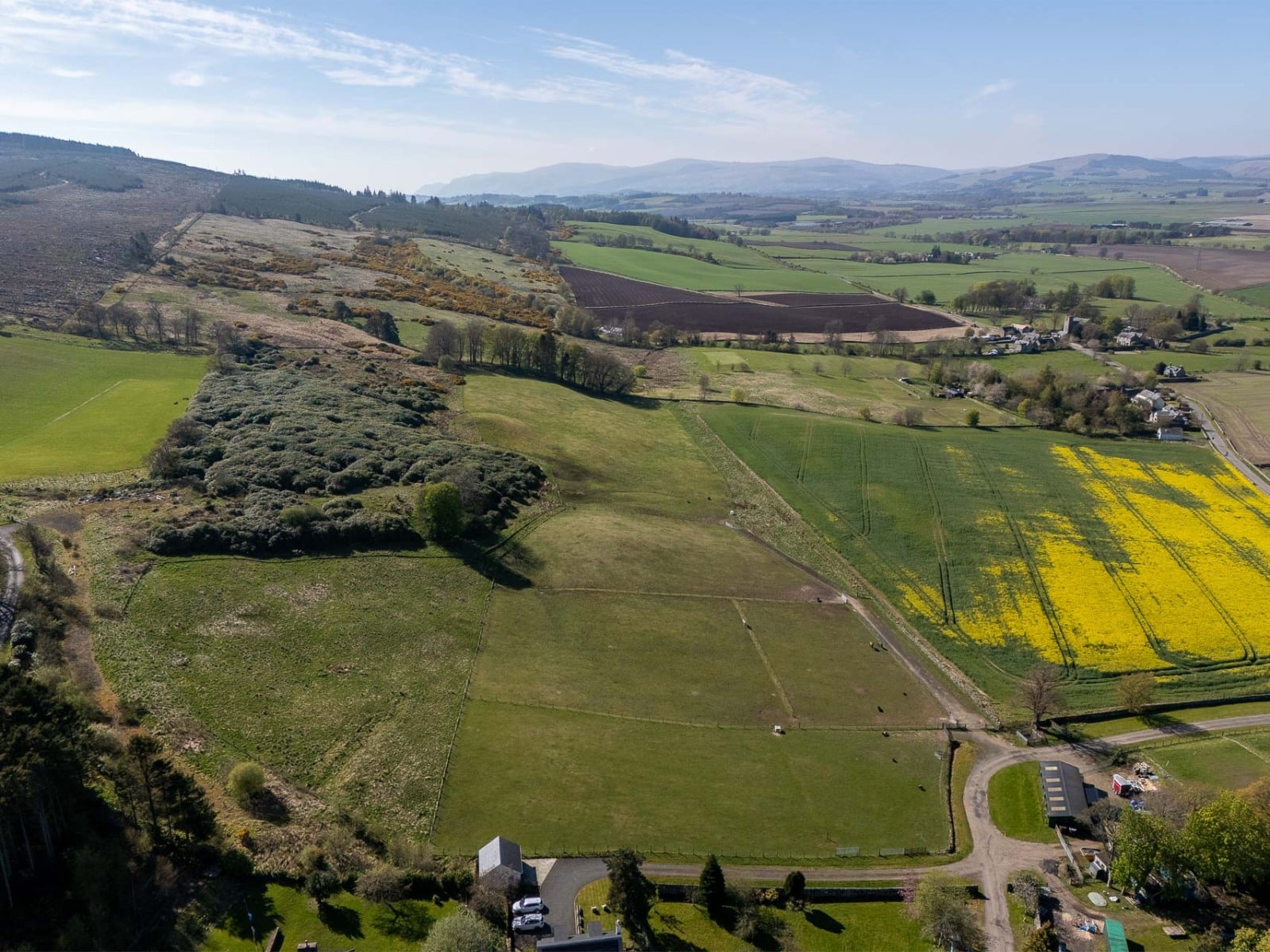
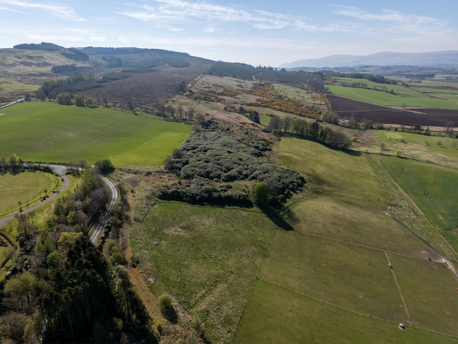
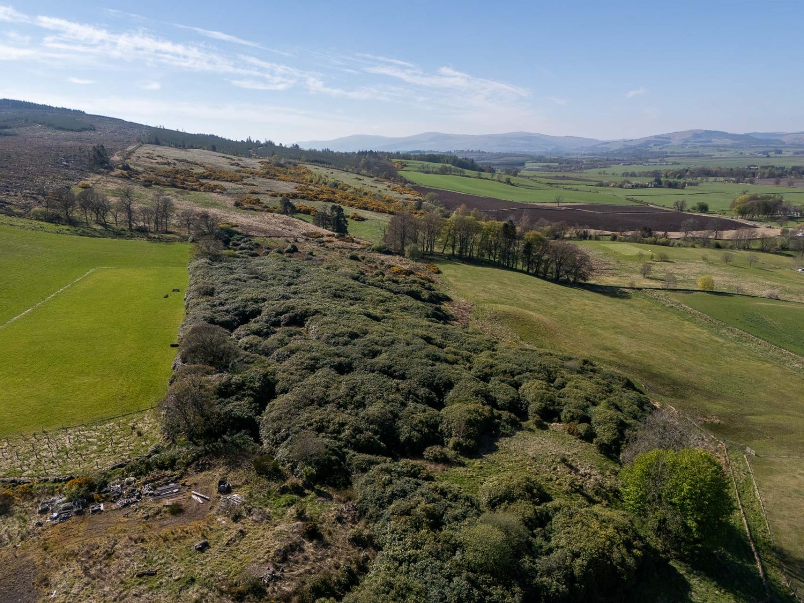
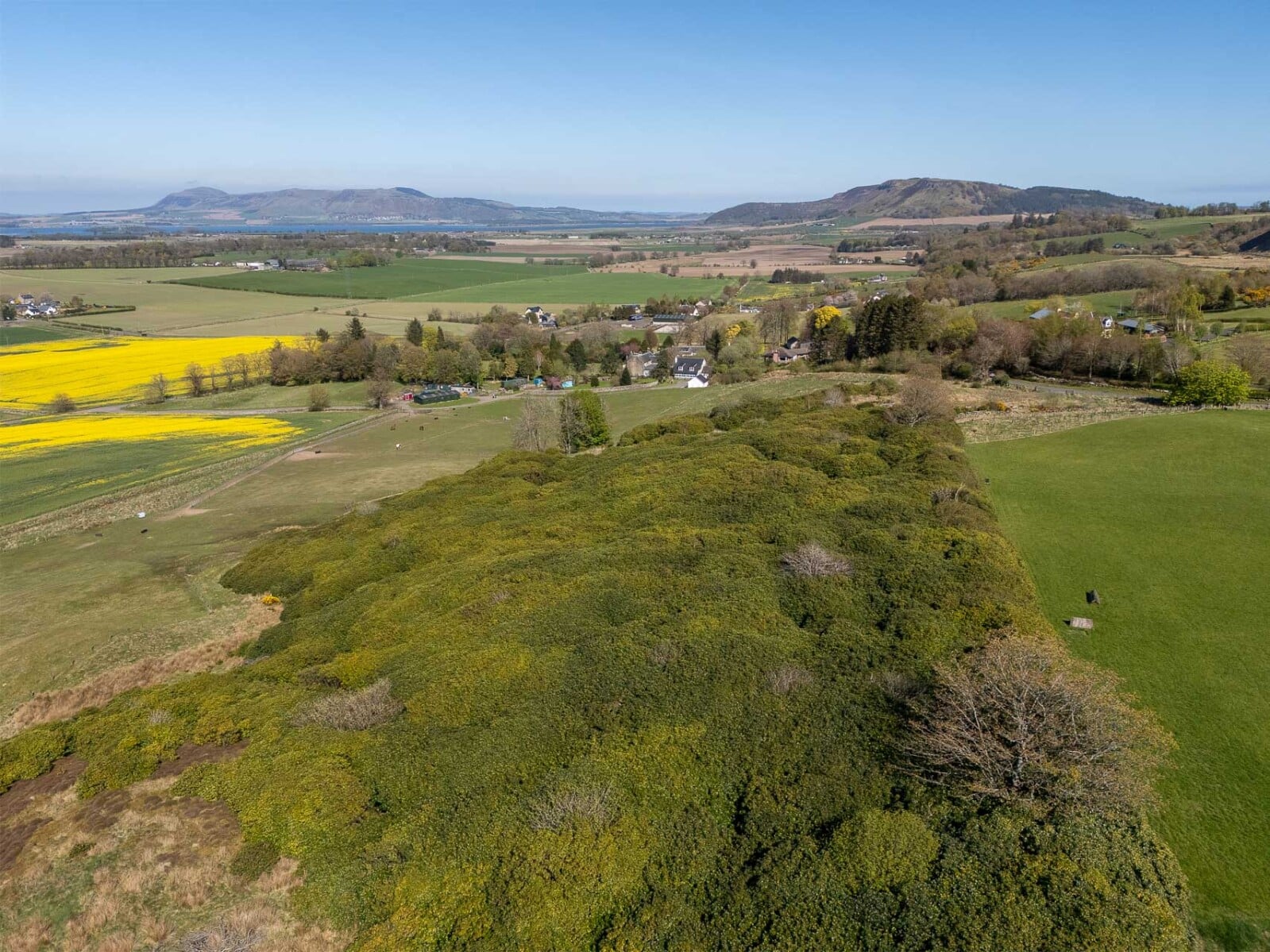
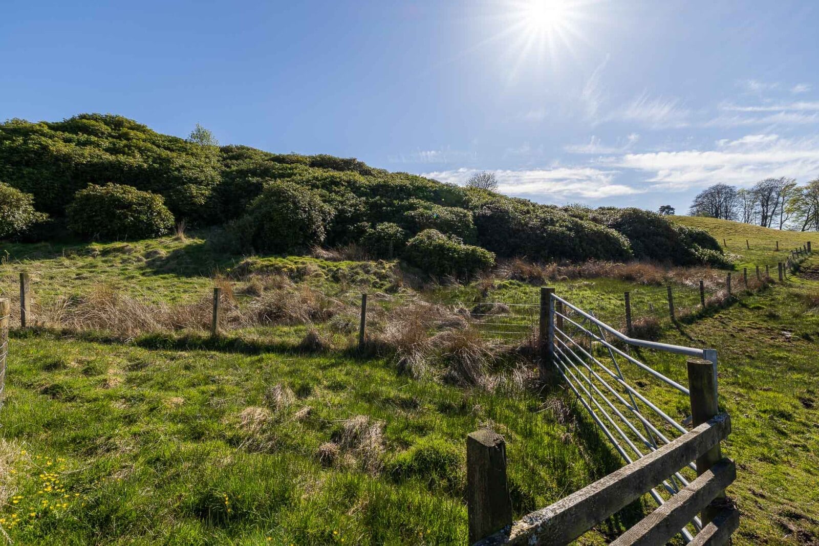
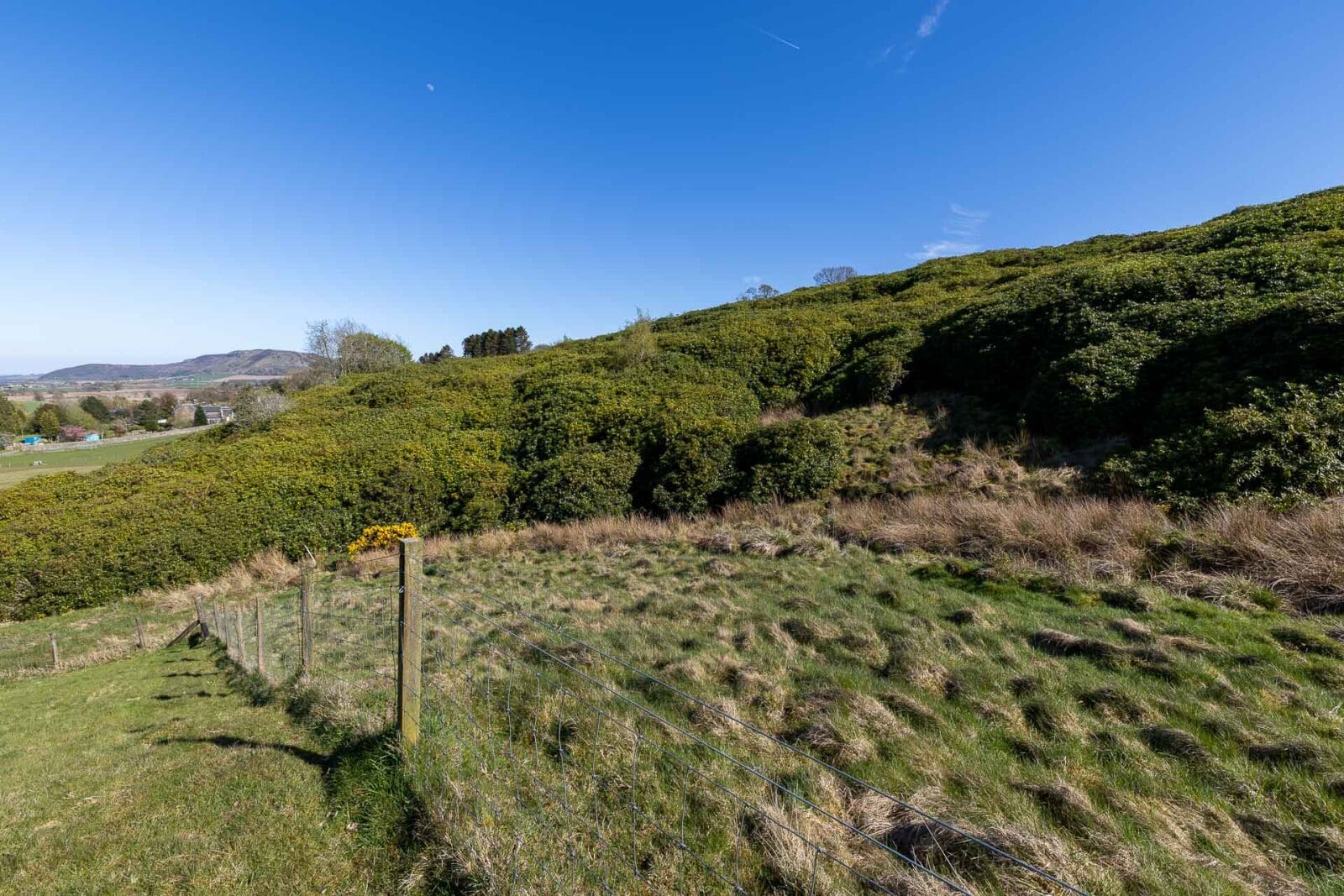
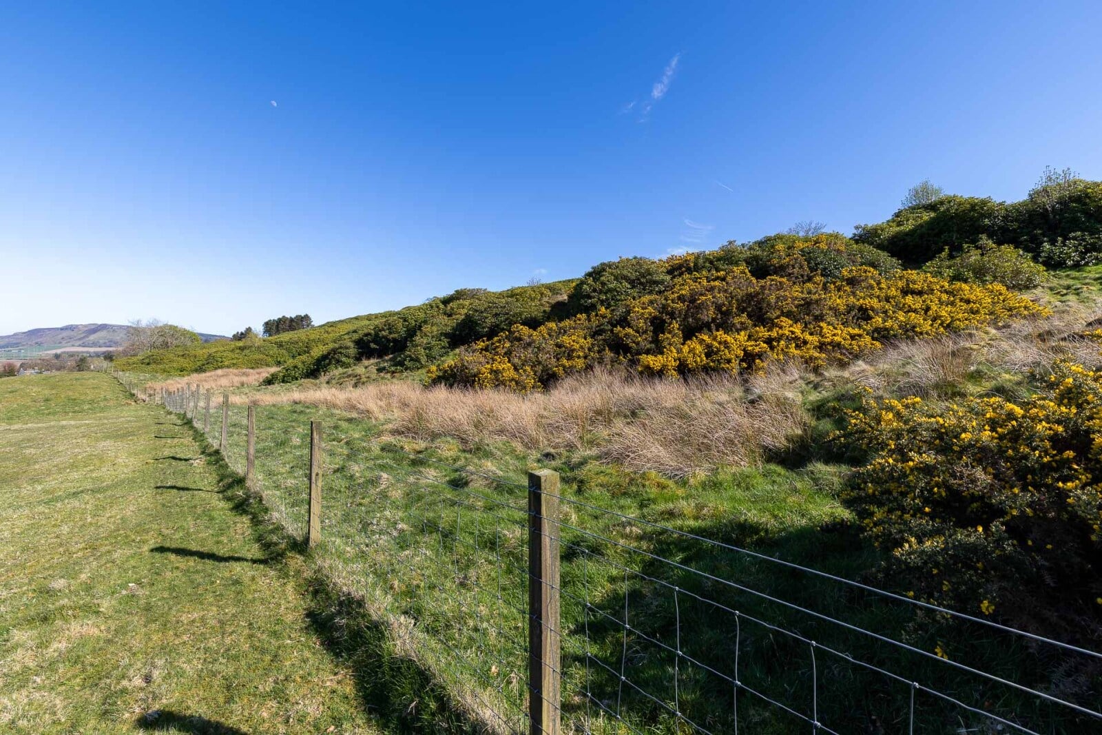
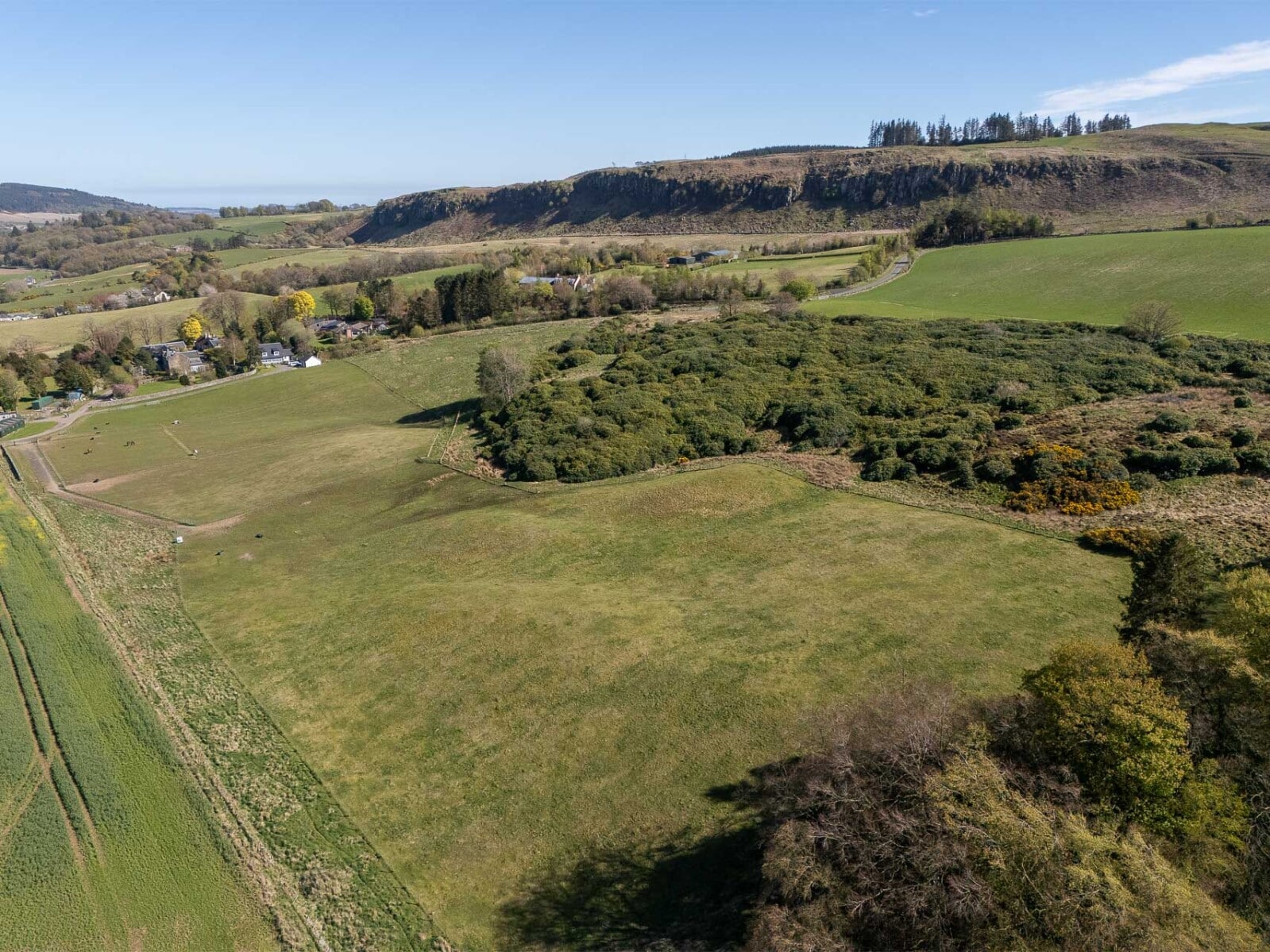
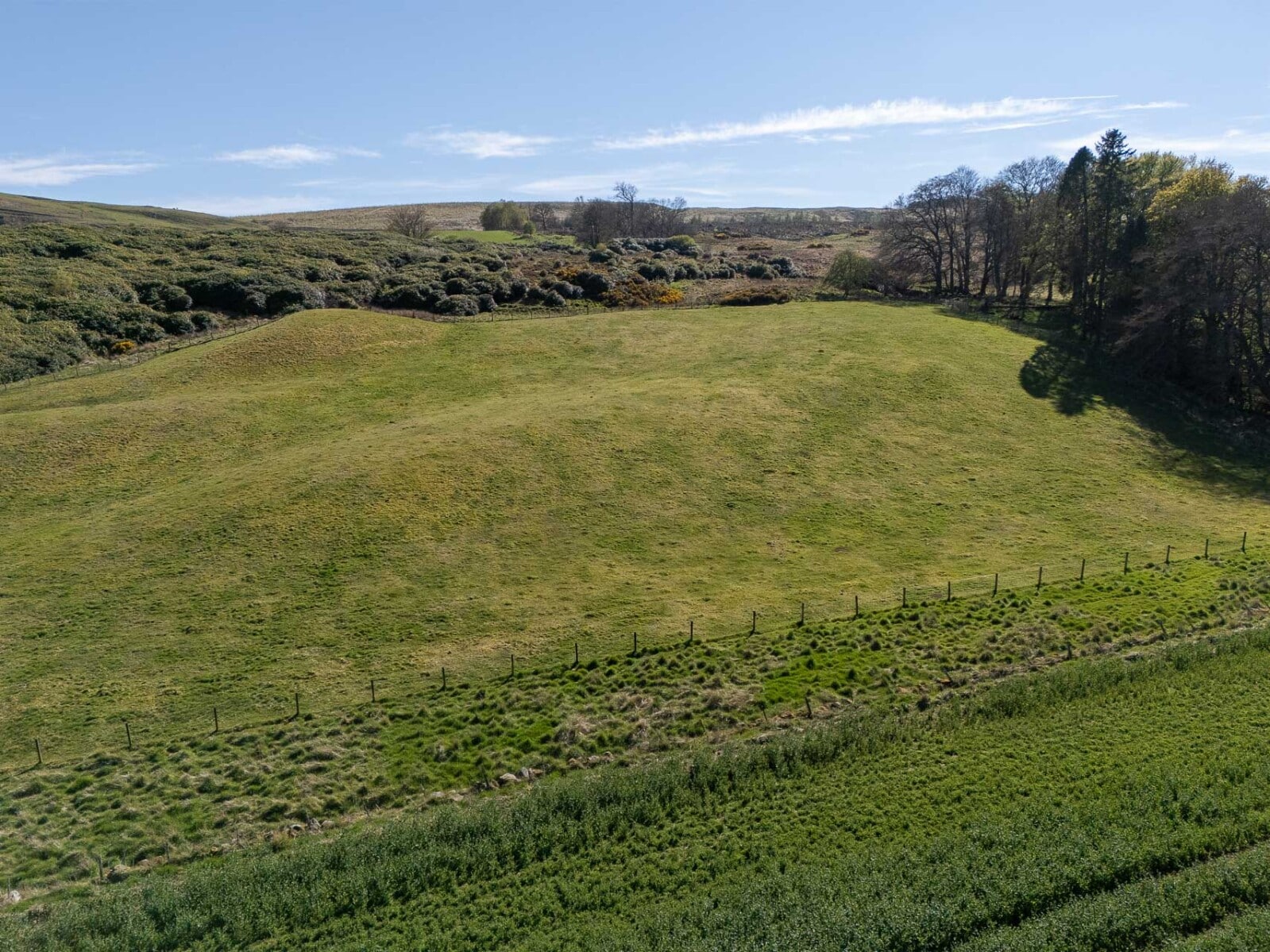
Lot 1 – Hill land
The hill land extends to approximately 3.73 ha (9.22 acres)hectares), of which around 2.5 acres comprise rough grazing. The remaining area is predominantly covered by mature rhododendron bushes.
The land lies at an elevation of approximately 150–160 metres above sea level and, according to the Meteorological Office Average Rainfall Chart, the area experiences average annual rainfall of approximately 1,082mm. The James Hutton Institute Land Capability for Agriculture classifies the land as Class 4.1. The SEPA Flood Risk Map indicates no risk of river flooding; however, it should be noted that there are limited areas identified as having a low risk of surface water flooding. The entirety of the land falls within the Strathmore, Fife and Angus Nitrate Vulnerable Zone (NVZ).
Within the site runs a disused road, which lies parallel to the public hill road. It is understood that water and electricity is available where the access track comes from the public road.
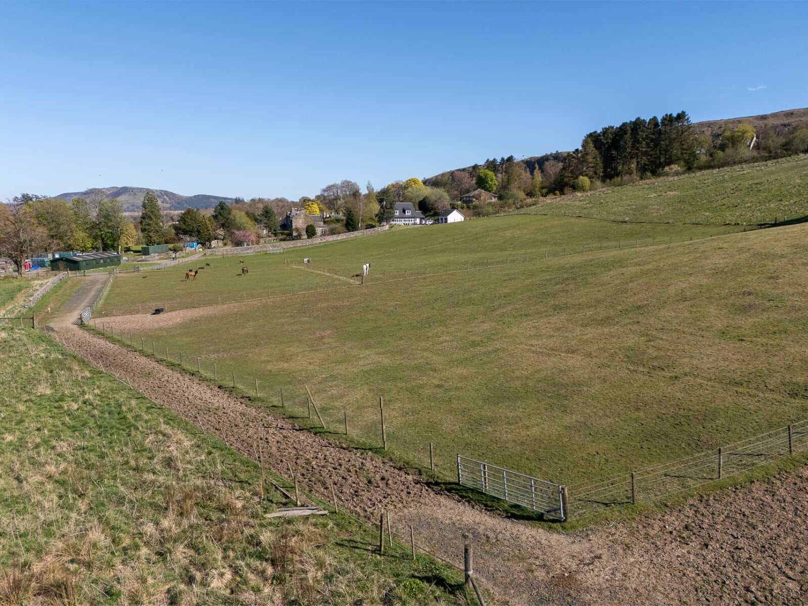
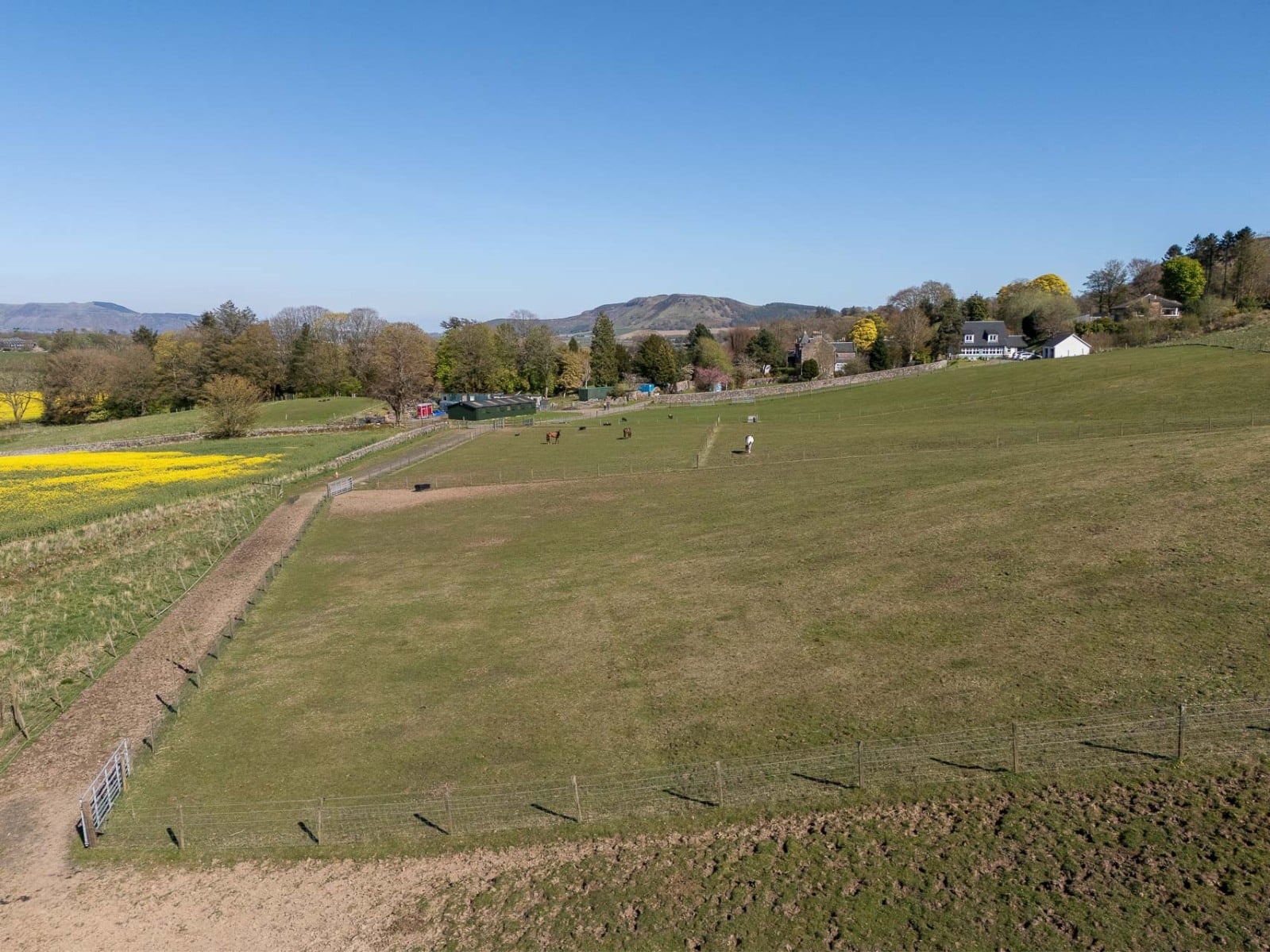
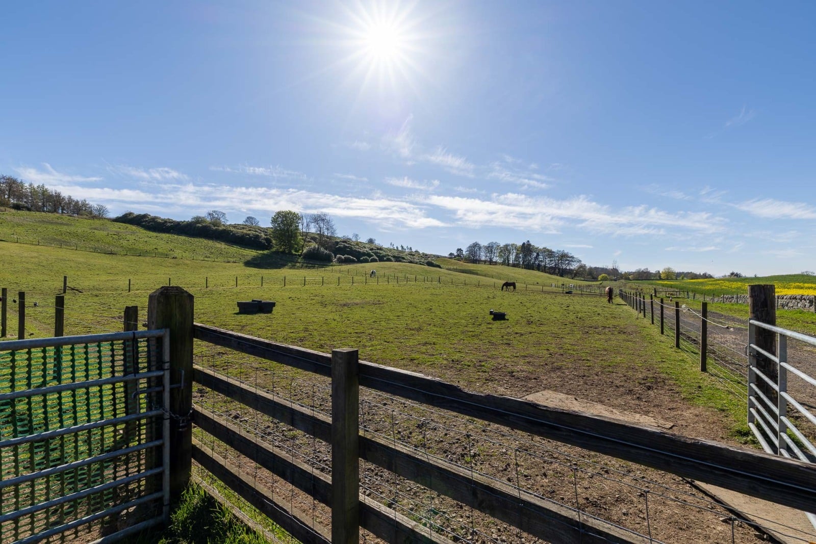
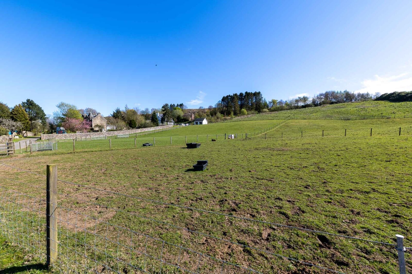
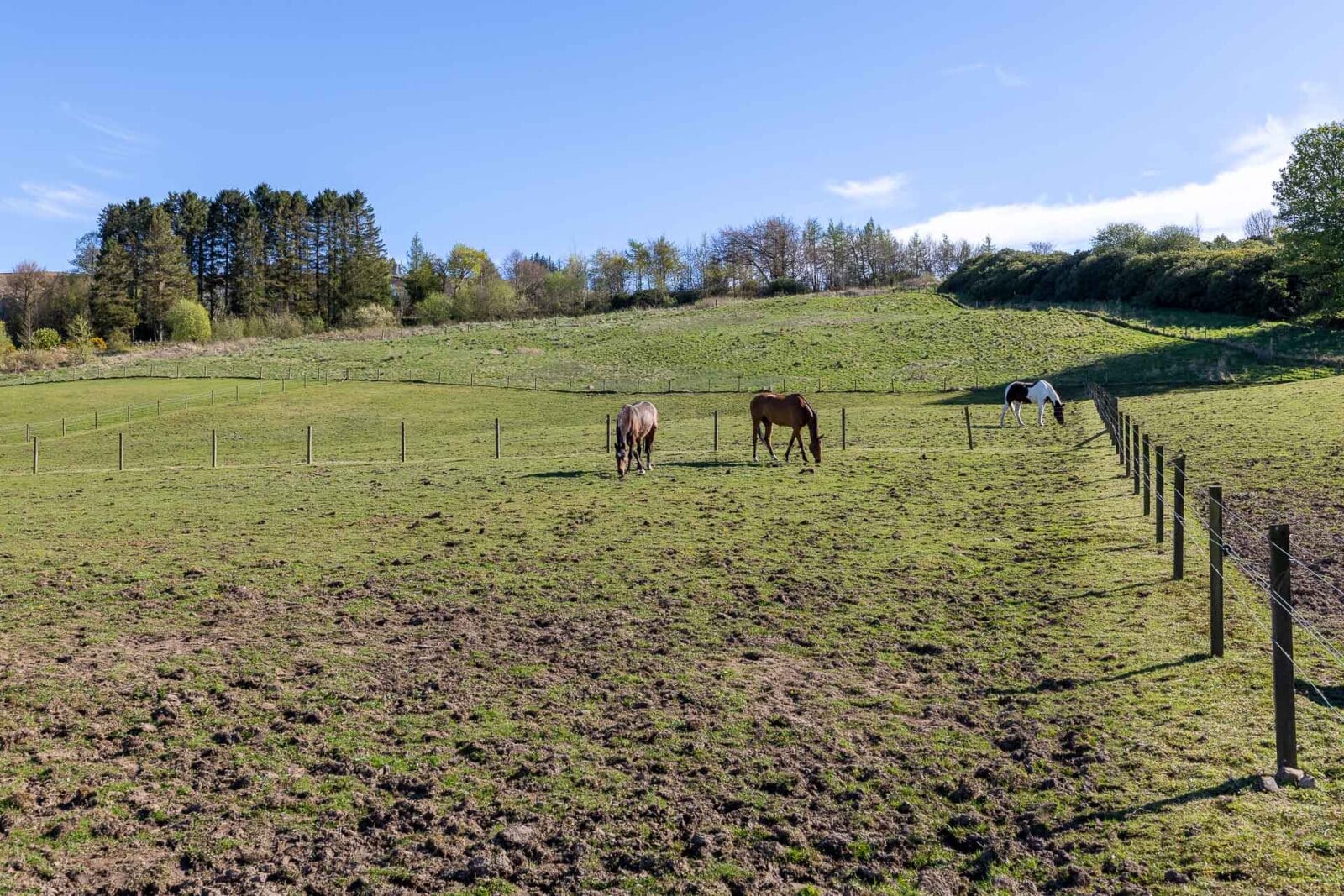
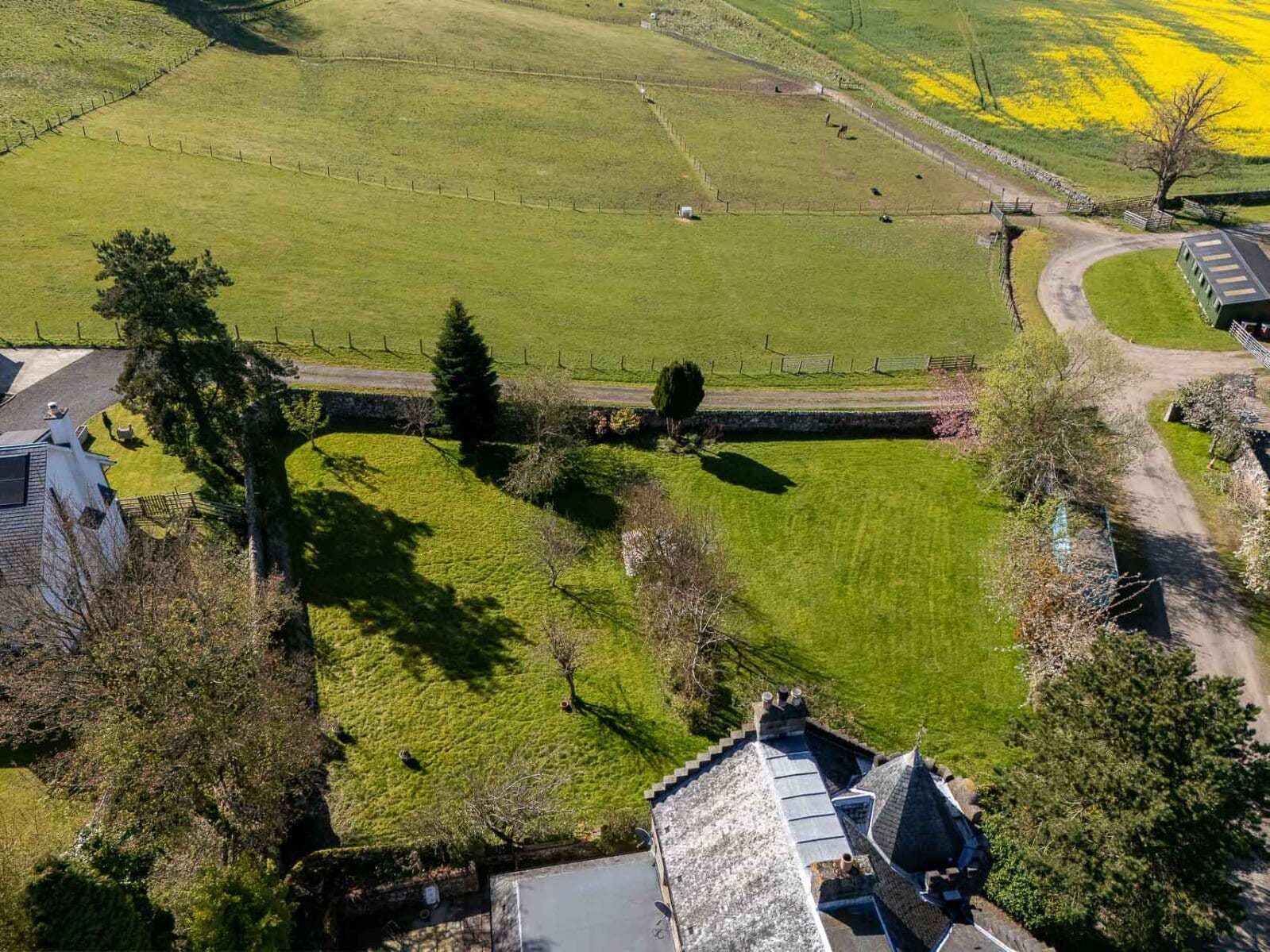
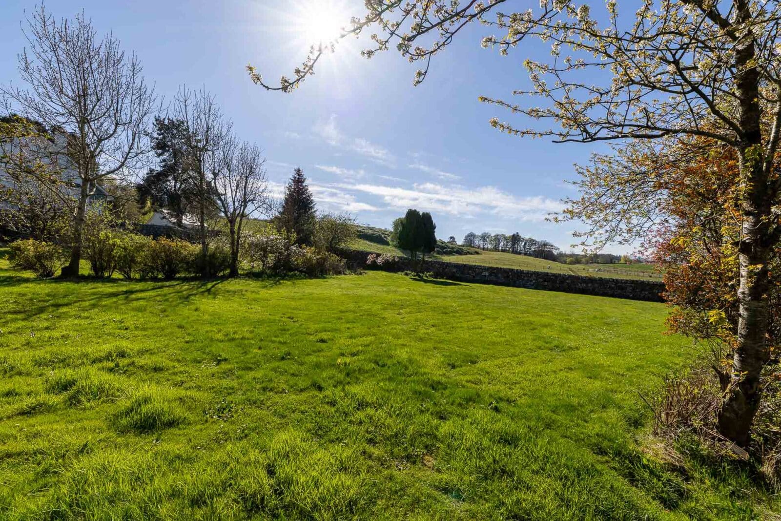
Lot 2 – Equestrian land - 3.11 ha (7.69 acres).
Access to the equestrian land is taken from the main drive directly from the public road, with water and electricity within 100 yards.
The land lies at an elevation of approximately 140-150 metres above sea level and, according to the Meteorological Office Average Rainfall Chart, the area experiences average annual rainfall of approximately 1,082mm. The James Hutton Institute Land Capability for Agriculture classifies the land as partly Class 3.1 and partly Class 4.1. As with Lot 1, the SEPA Flood Risk Map indicates no risk of river flooding, although limited areas are identified as having a low risk of surface water flooding. The entirety of the land falls within the Strathmore, Fife and Angus Nitrate Vulnerable Zone (NVZ).
On 13 November 2025 Planning Consent (Ref. No. 25/00333/FLL) was granted for the erection of stables, arena, barn, storage building and associated works.
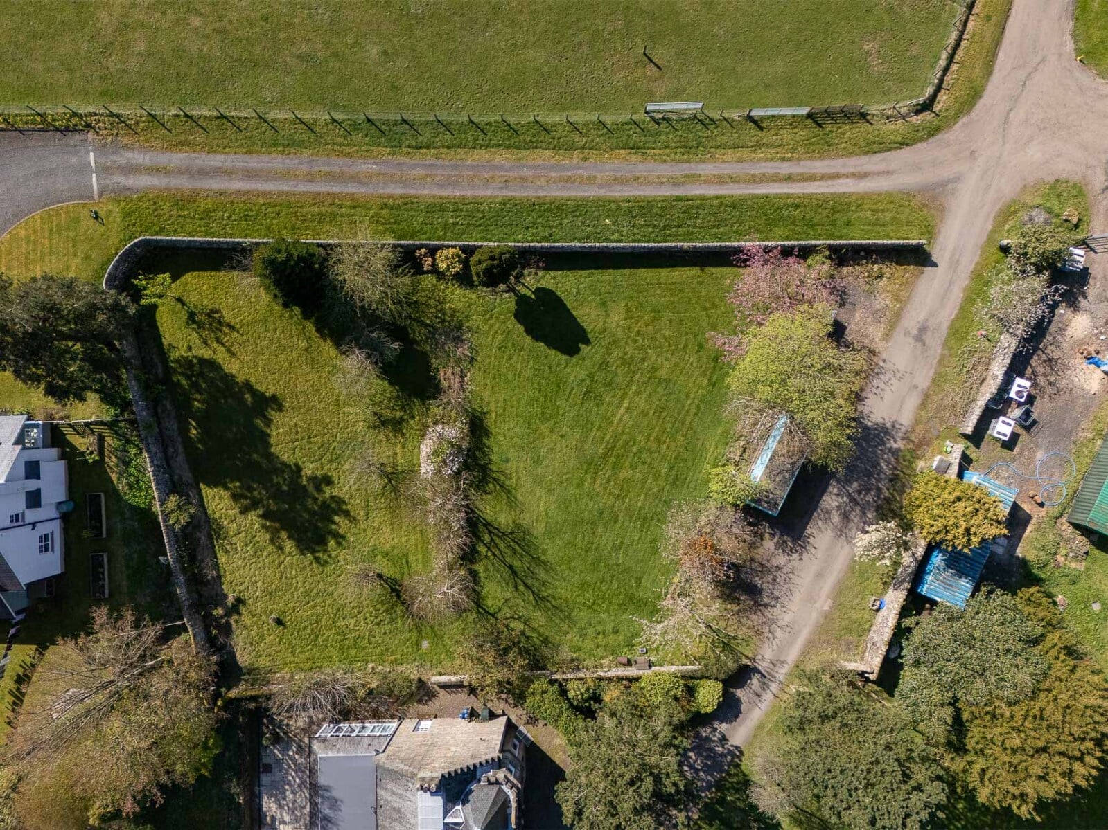
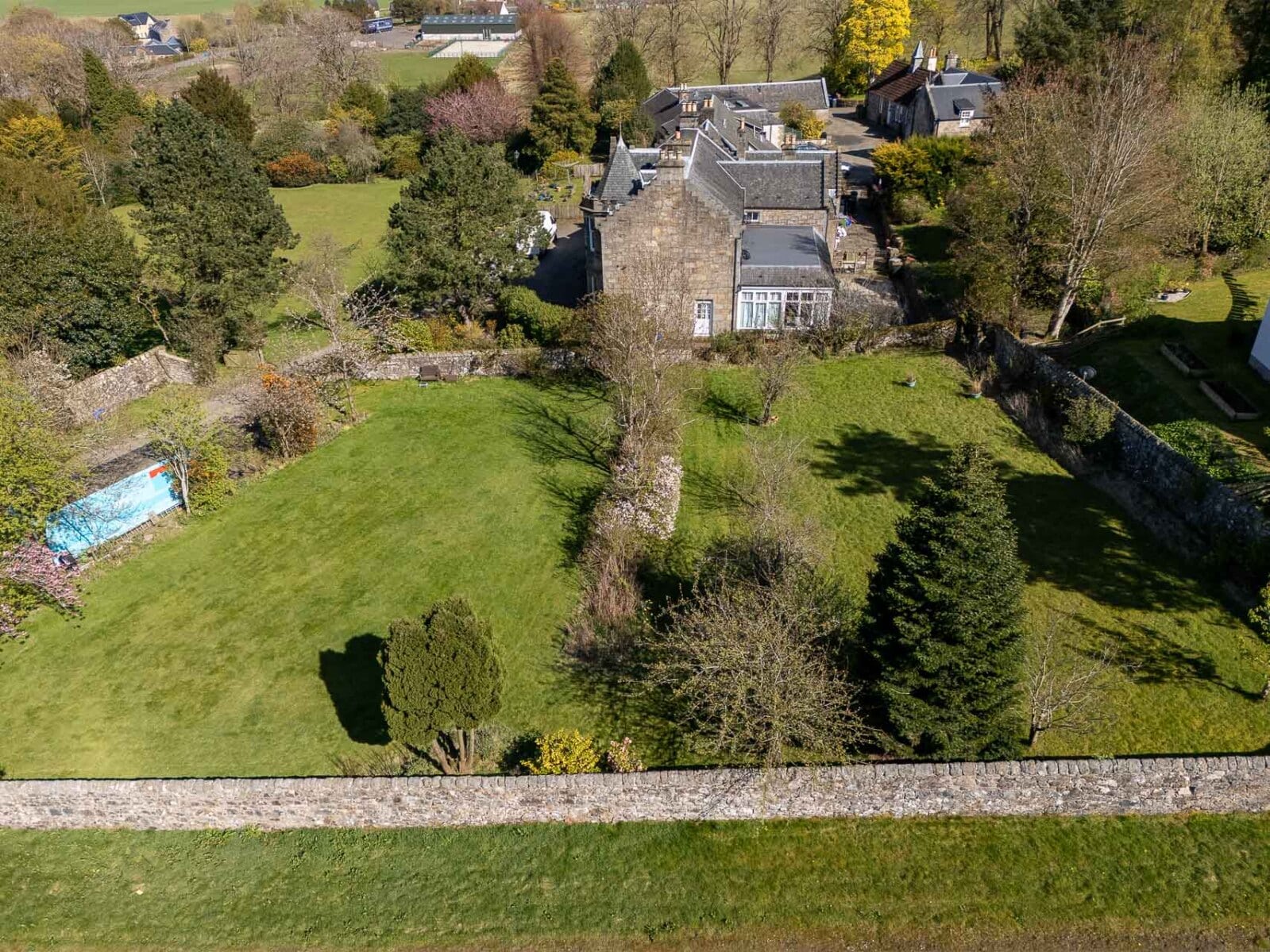
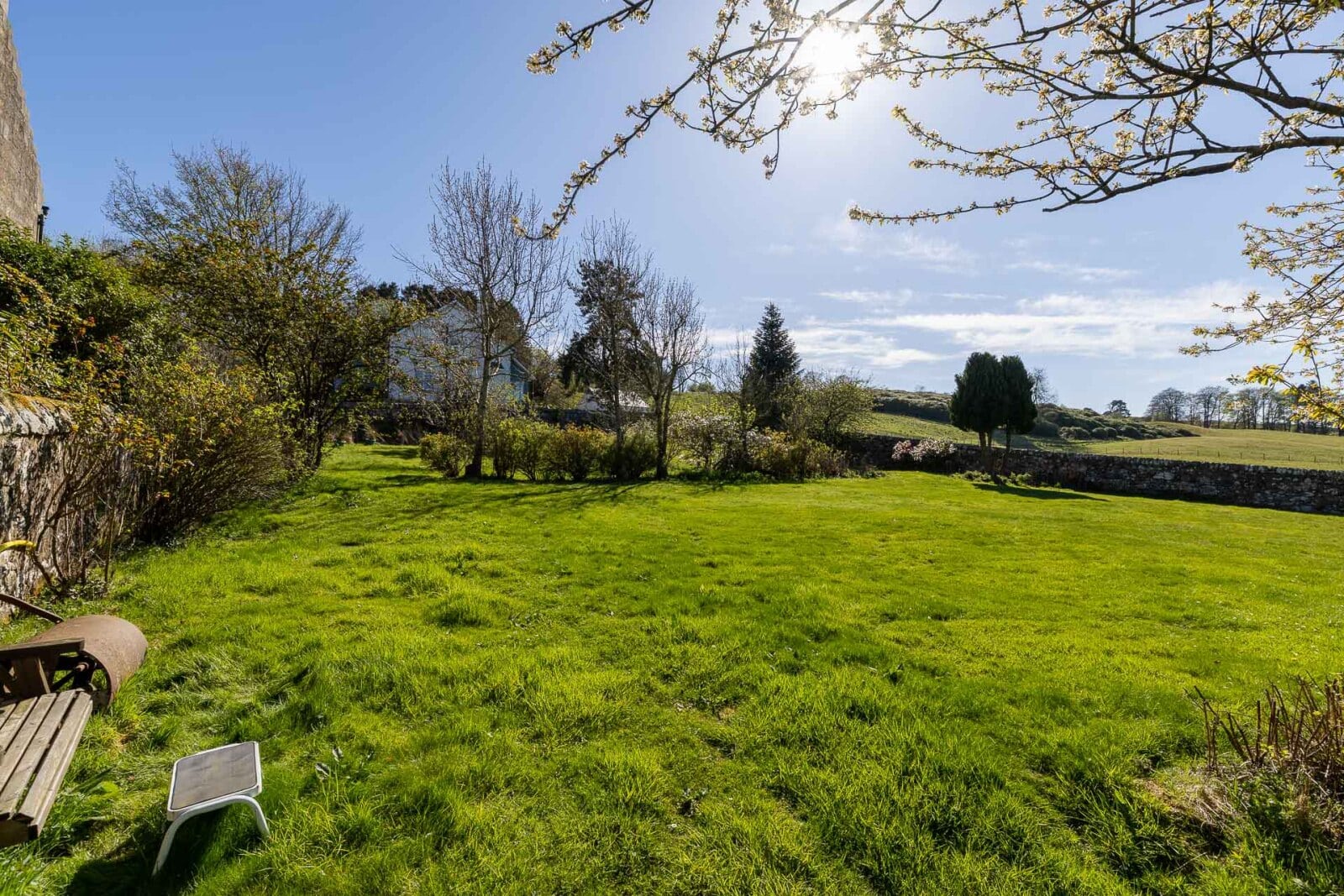
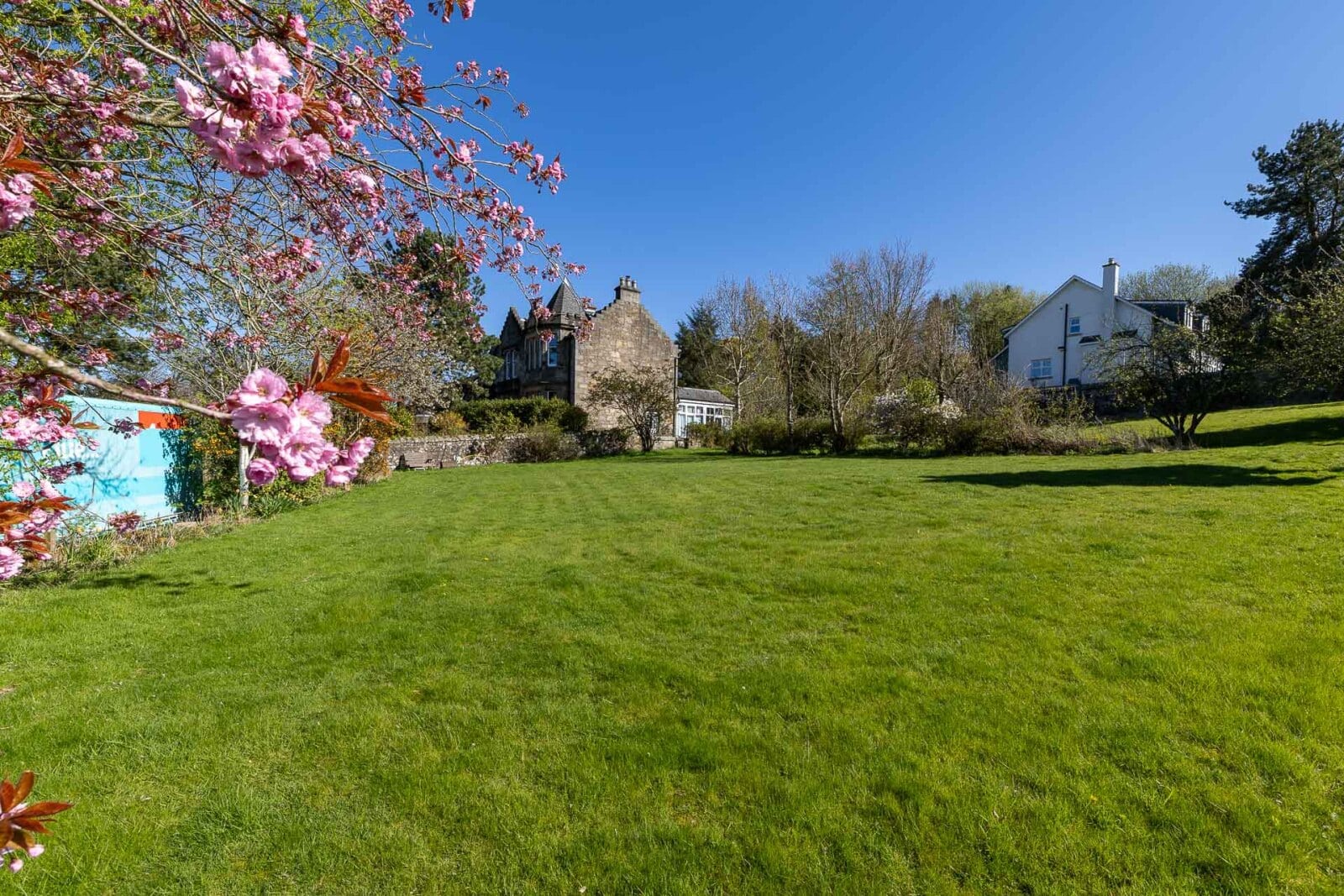
Lot 3 – The Walled Garden
The area of ground being offered as Lot 3 is situated within a walled garden and extends to approximately 0.344 acres.
Planning consent was granted on 22 November 2013 (Ref. No. 09/01154/FLL) for the erection of three dwelling houses, two of which have since been constructed. The planning consent for the remaining dwelling remains valid in perpetuity.
Communal services are in place for the provision of water, sewerage and gas, with each surrounding property individually metered. Water is supplied from the mains. High speed fibre broadband has been installed in the area. Drainage is served by a private communal waste water treatment plant shared with other properties at Nivingston, which is monitored by SEPA and serviced annually.