
Carl Warden
Perth
01738 621 121
Offers Over
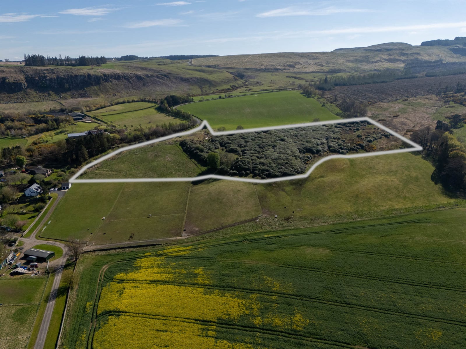
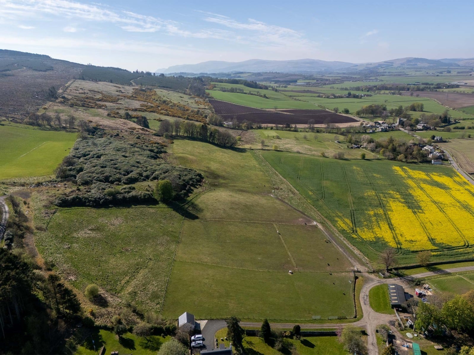
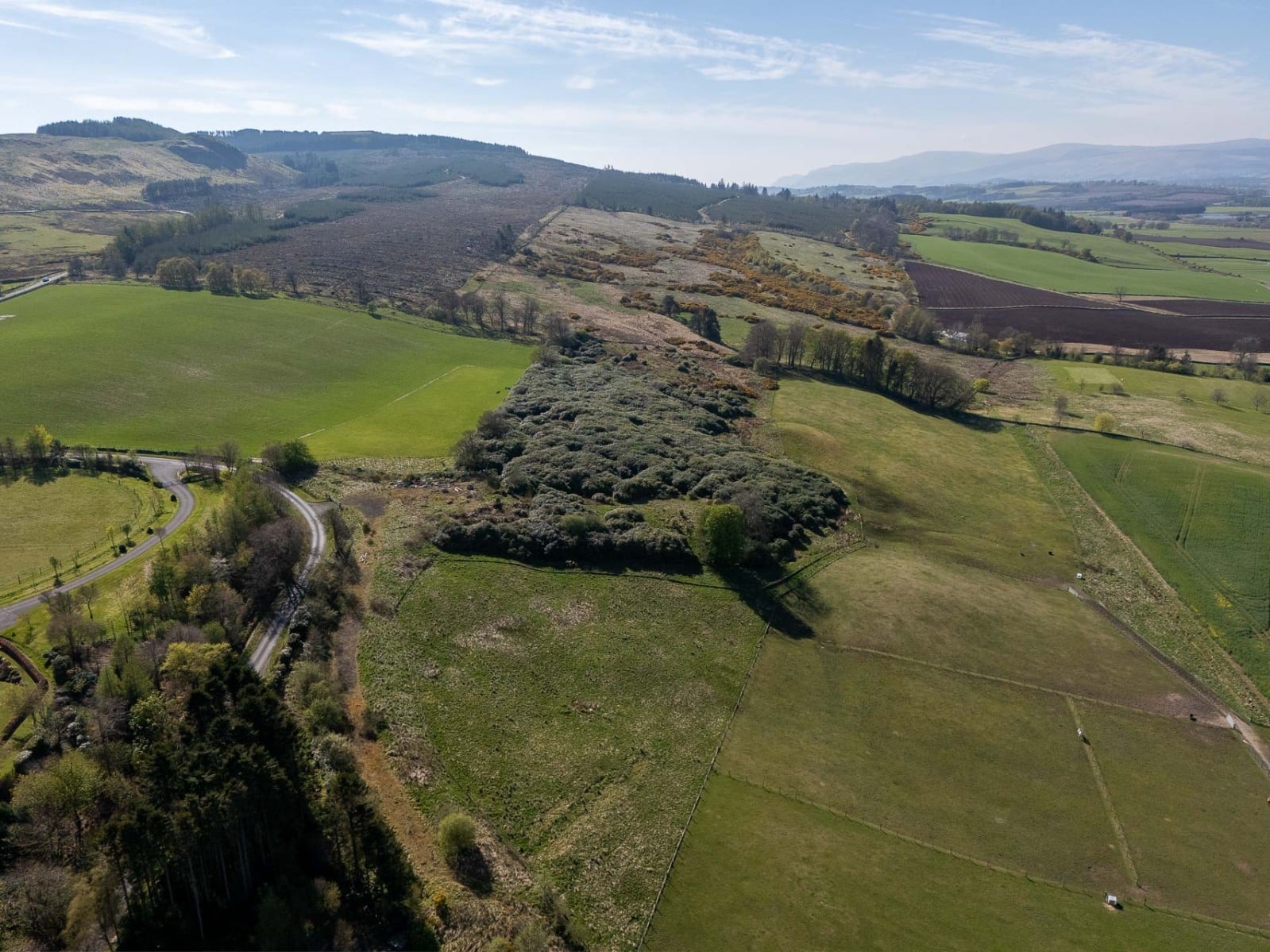
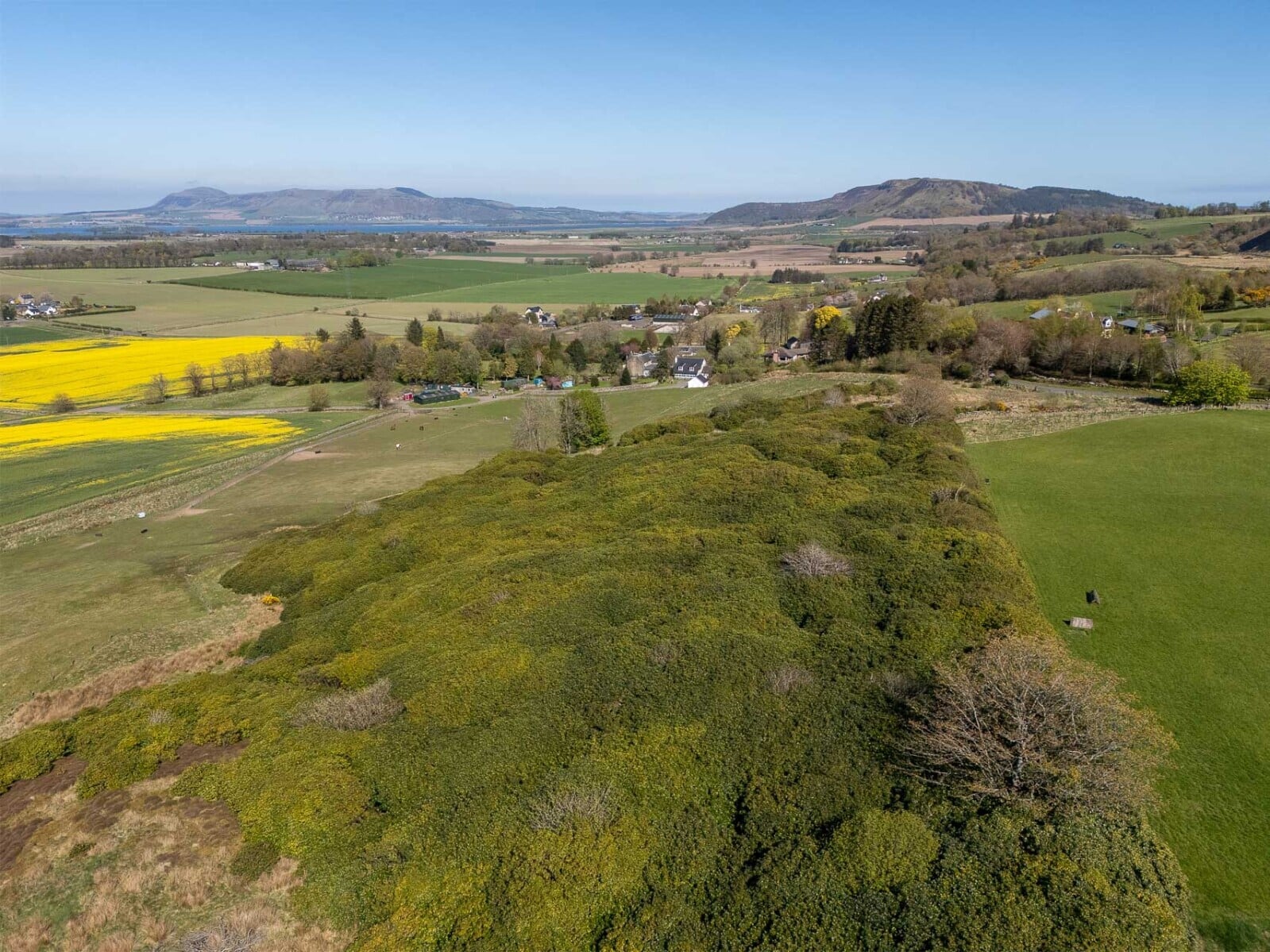
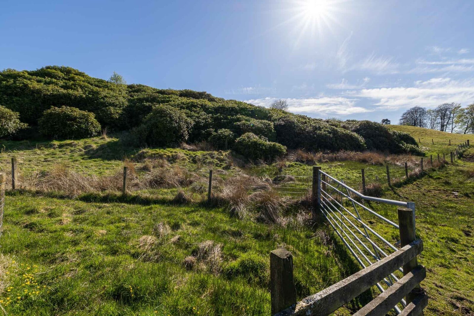
Lot 1 - Land extending to approximately 3.73 ha (9.22 acres) of which around 2.5 acres comprise rough grazing. The remaining area is predominantly covered by mature rhododendron bushes.
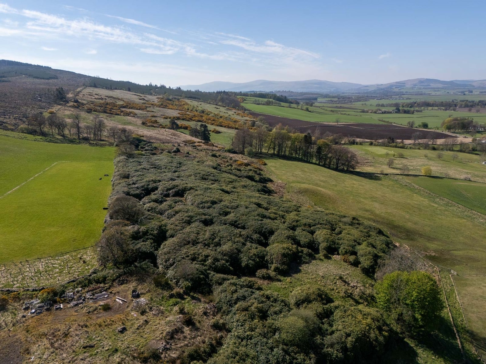
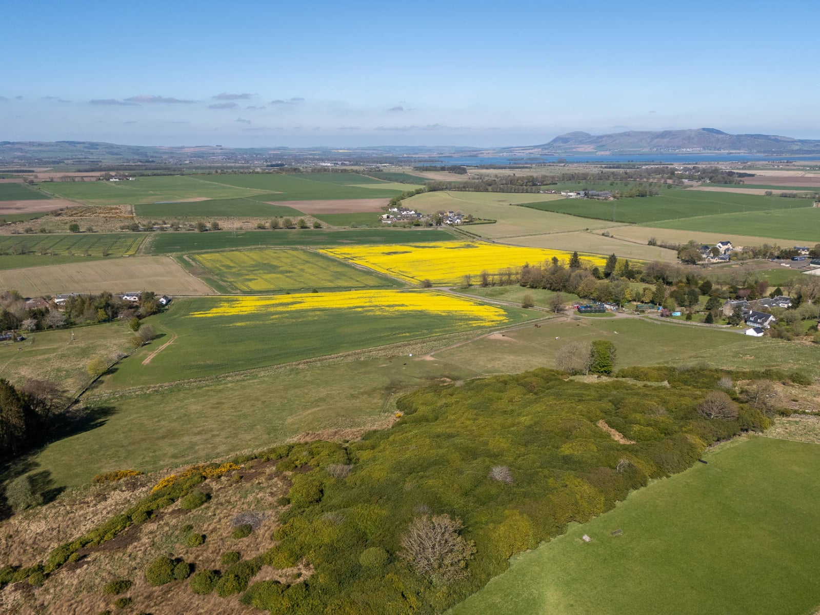
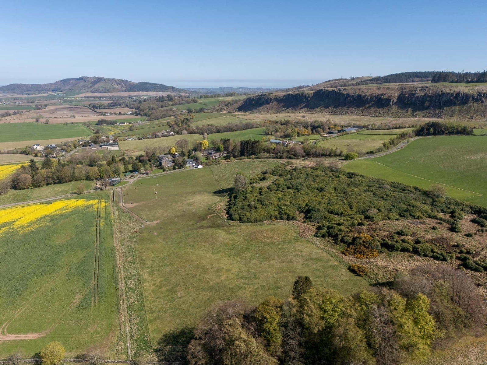
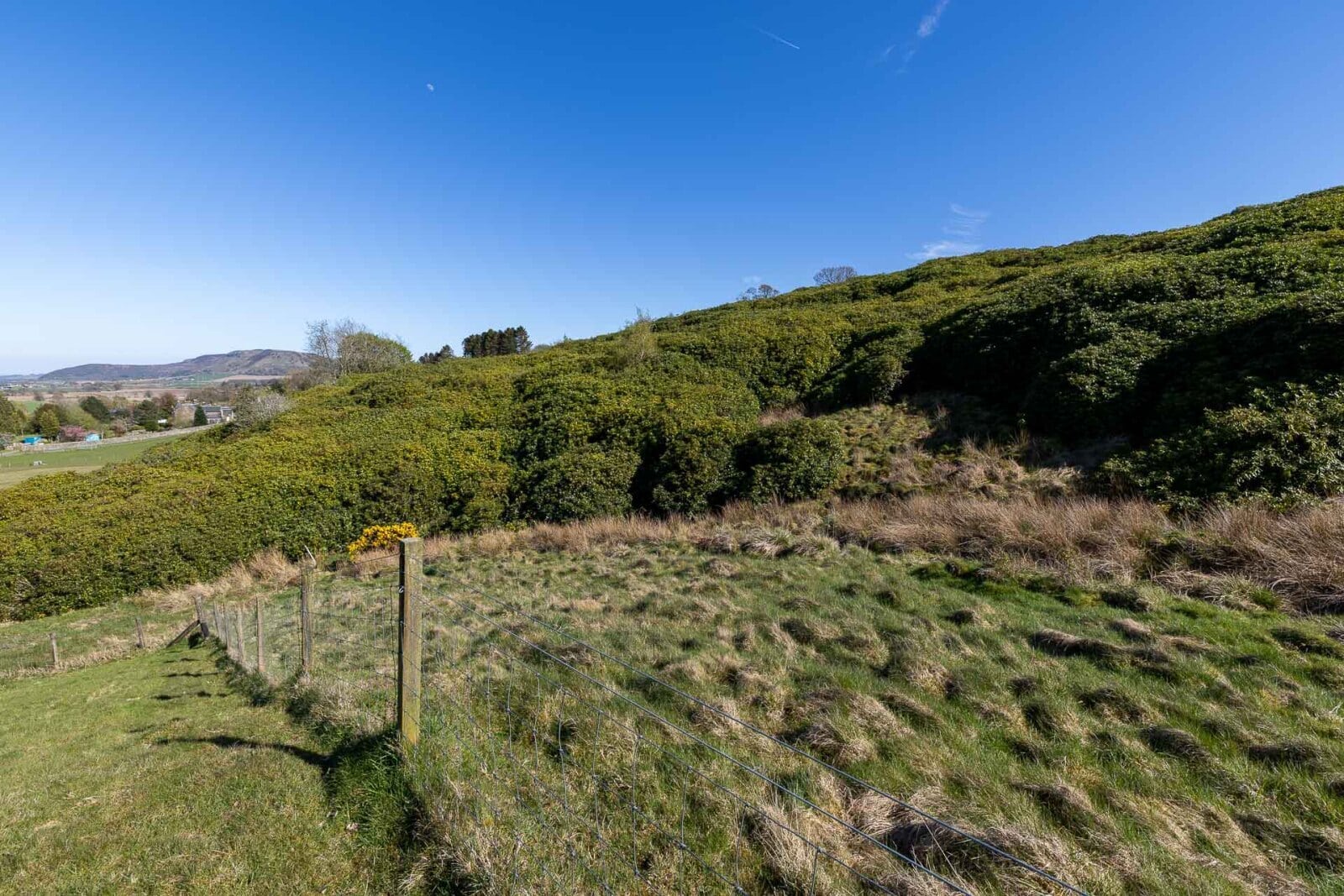
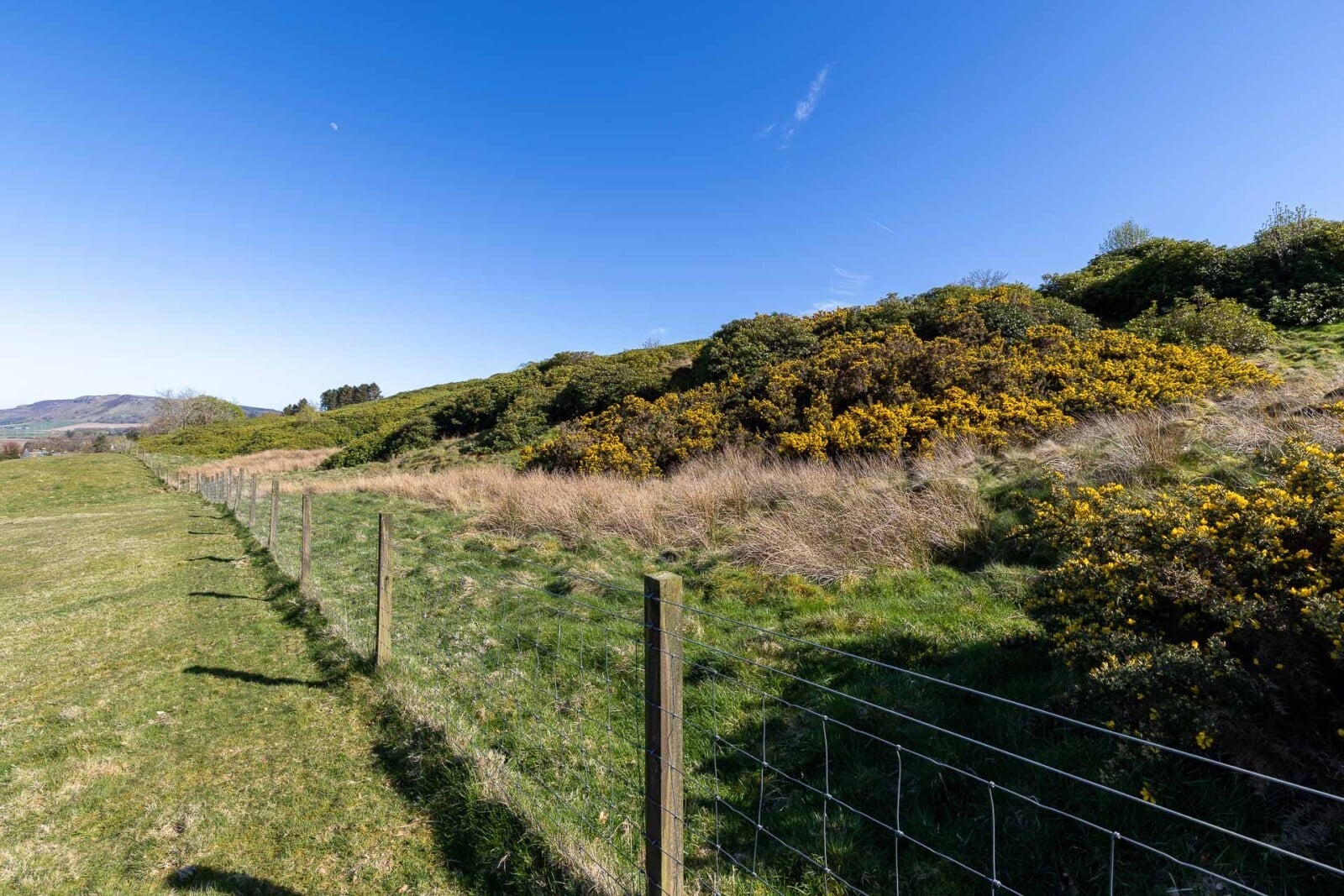
Lot 1 – Hill land
The hill land extends to approximately 3.73 ha (9.22 acres)hectares), of which around 2.5 acres comprise rough grazing. The remaining area is predominantly covered by mature rhododendron bushes.
The land lies at an elevation of approximately 150–160 metres above sea level and, according to the Meteorological Office Average Rainfall Chart, the area experiences average annual rainfall of approximately 1,082mm. The James Hutton Institute Land Capability for Agriculture classifies the land as Class 4.1. The SEPA Flood Risk Map indicates no risk of river flooding; however, it should be noted that there are limited areas identified as having a low risk of surface water flooding. The entirety of the land falls within the Strathmore, Fife and Angus Nitrate Vulnerable Zone (NVZ).
Within the site runs a disused road, which lies parallel to the public hill road. It is understood that water and electricity is available where the access track comes from the public road.