
Carl Warden
Perth
01738 621 121
Offers Over
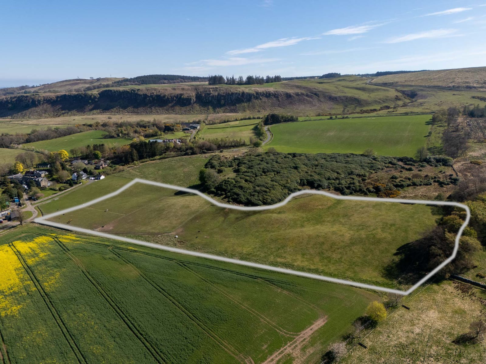
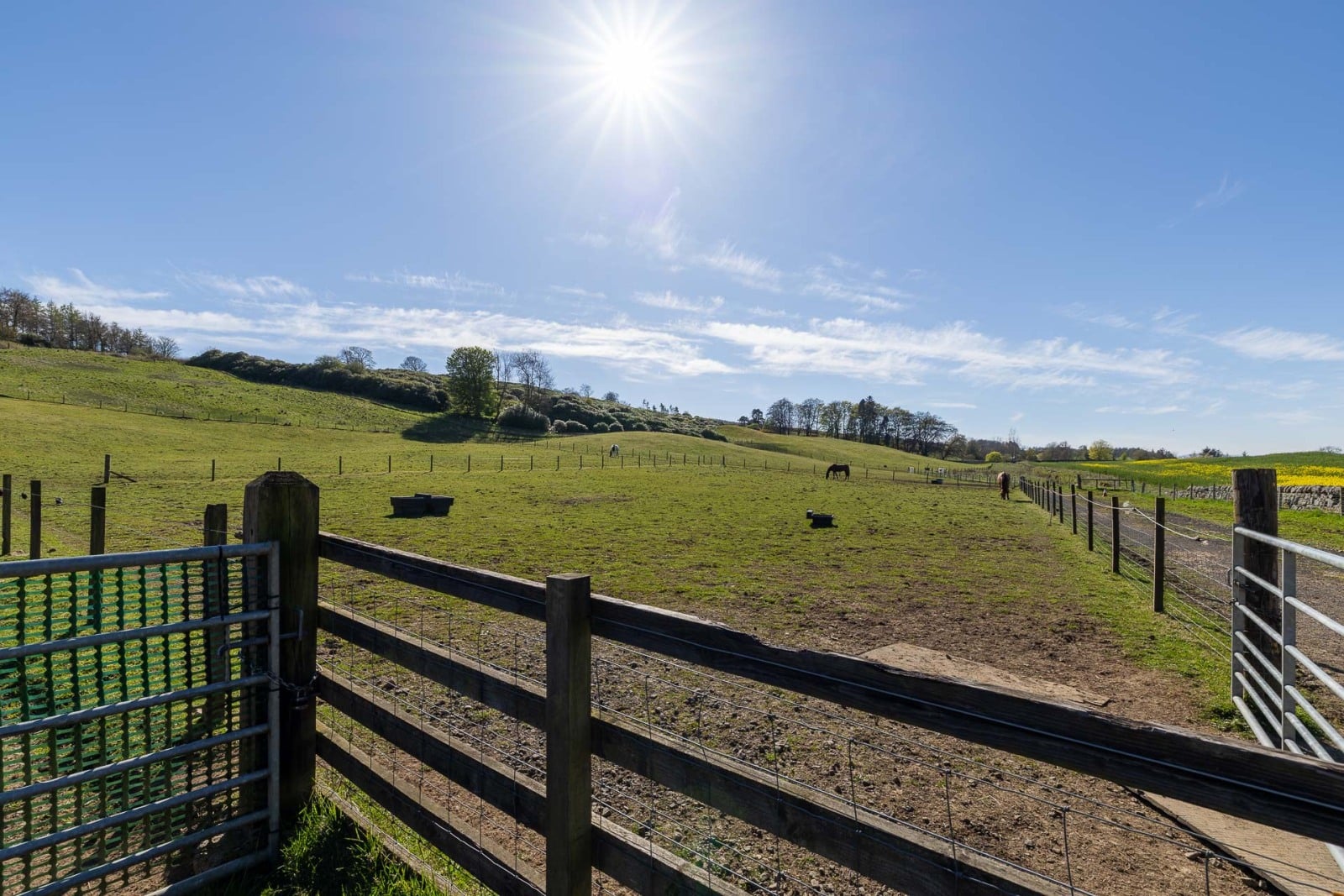
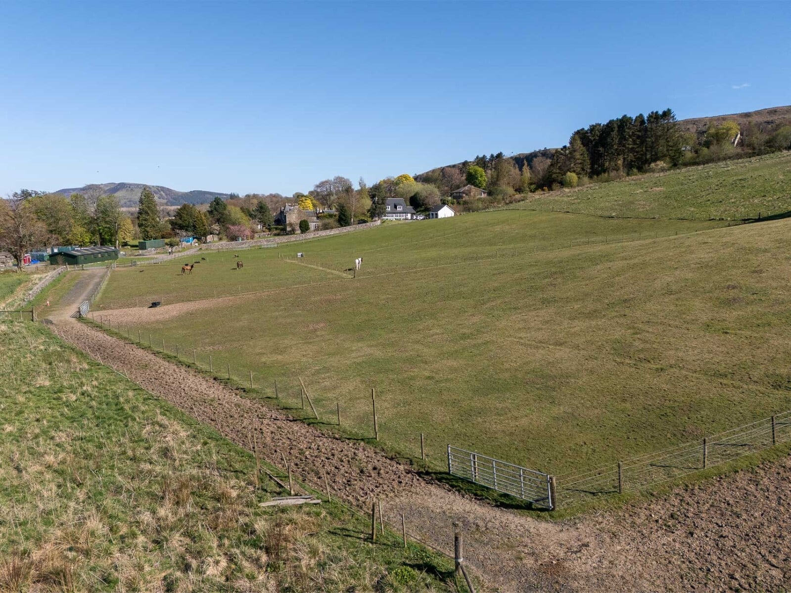
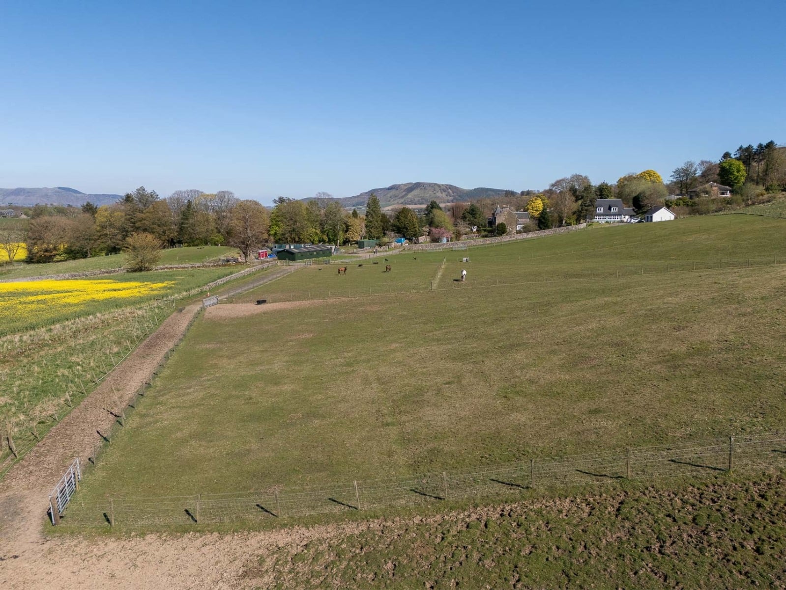
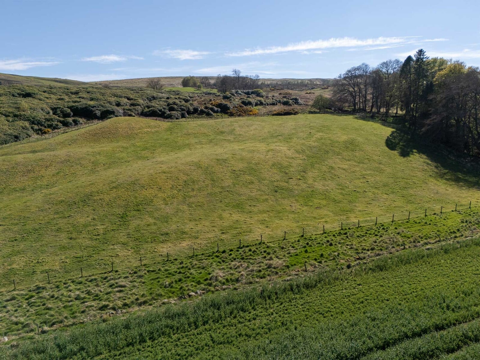
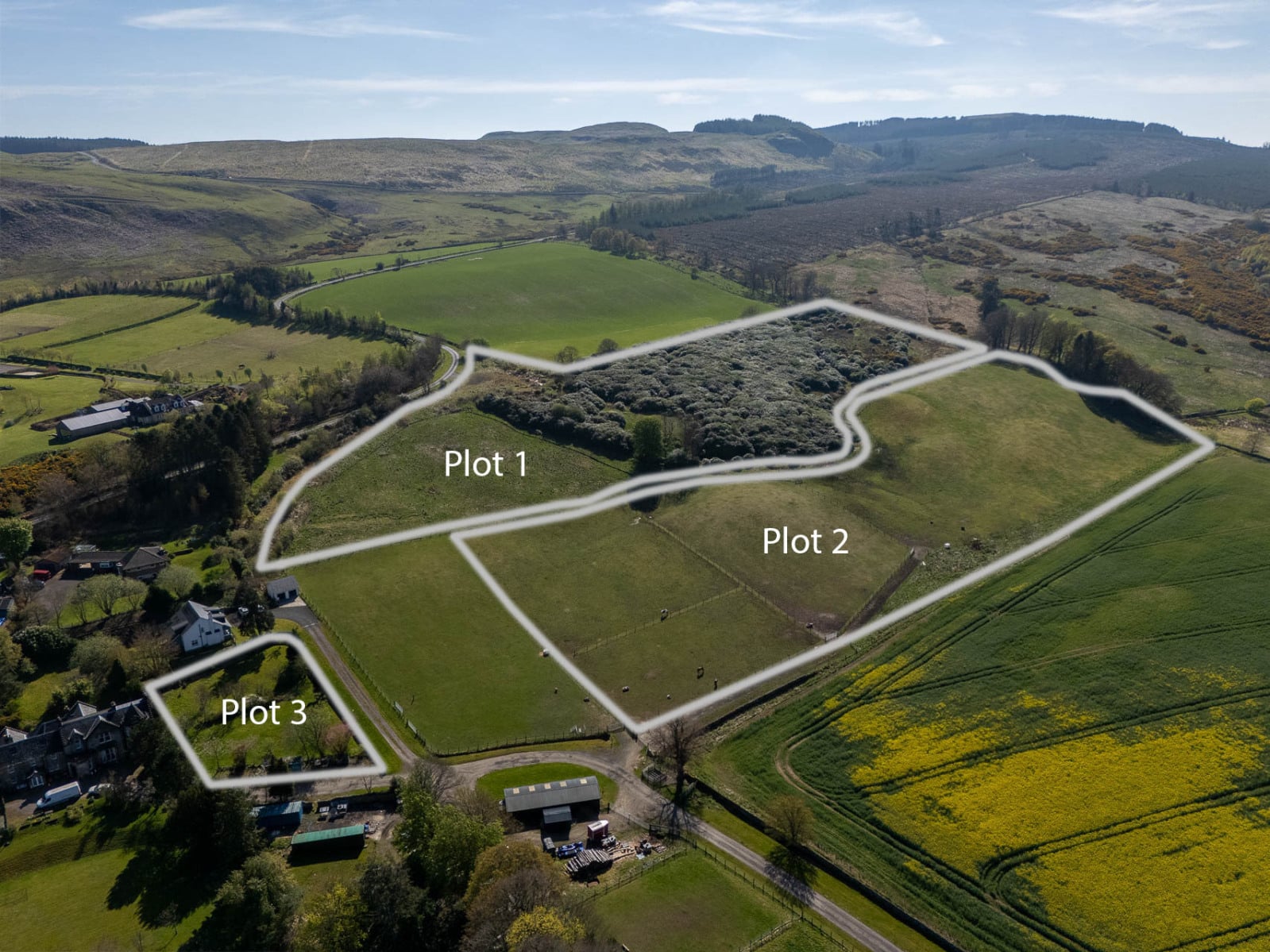
Lot 2 – Equestrian land - 3.11 ha (7.69 acres), with planning consent for for the erection of stables, arena, barn, storage building and associated works.
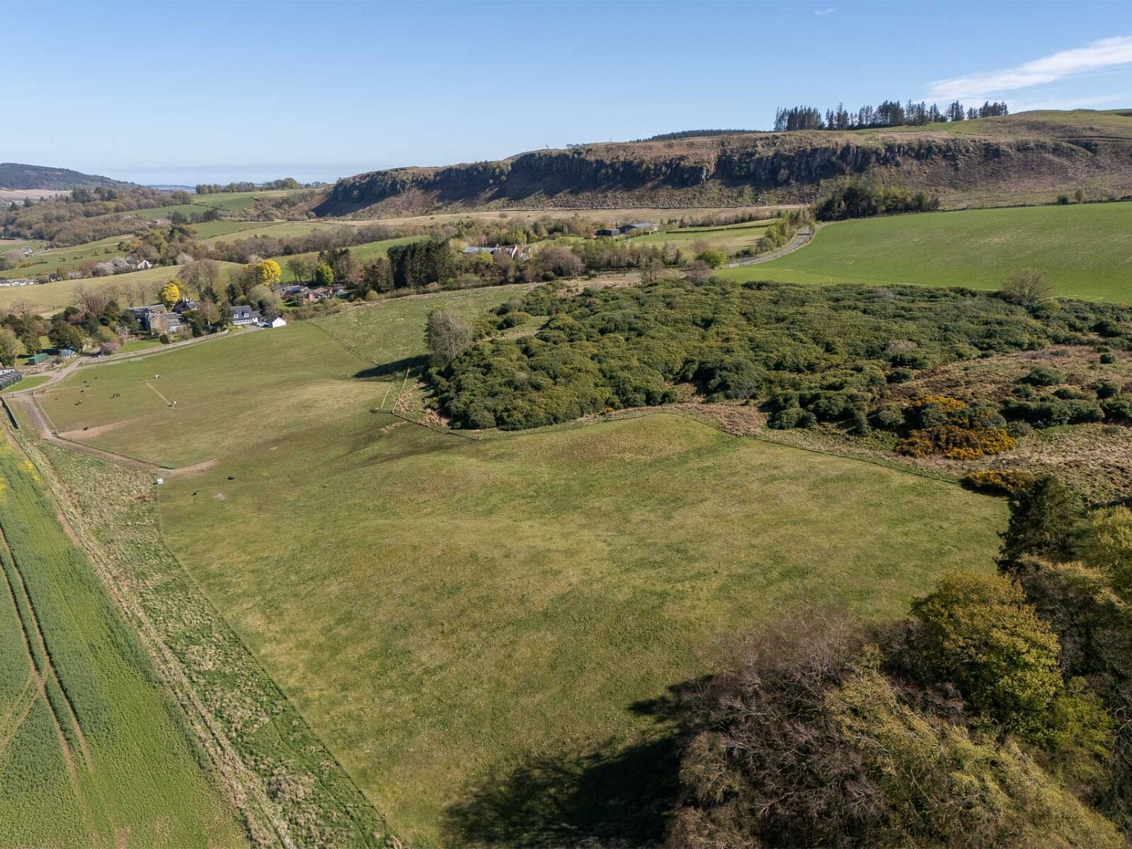
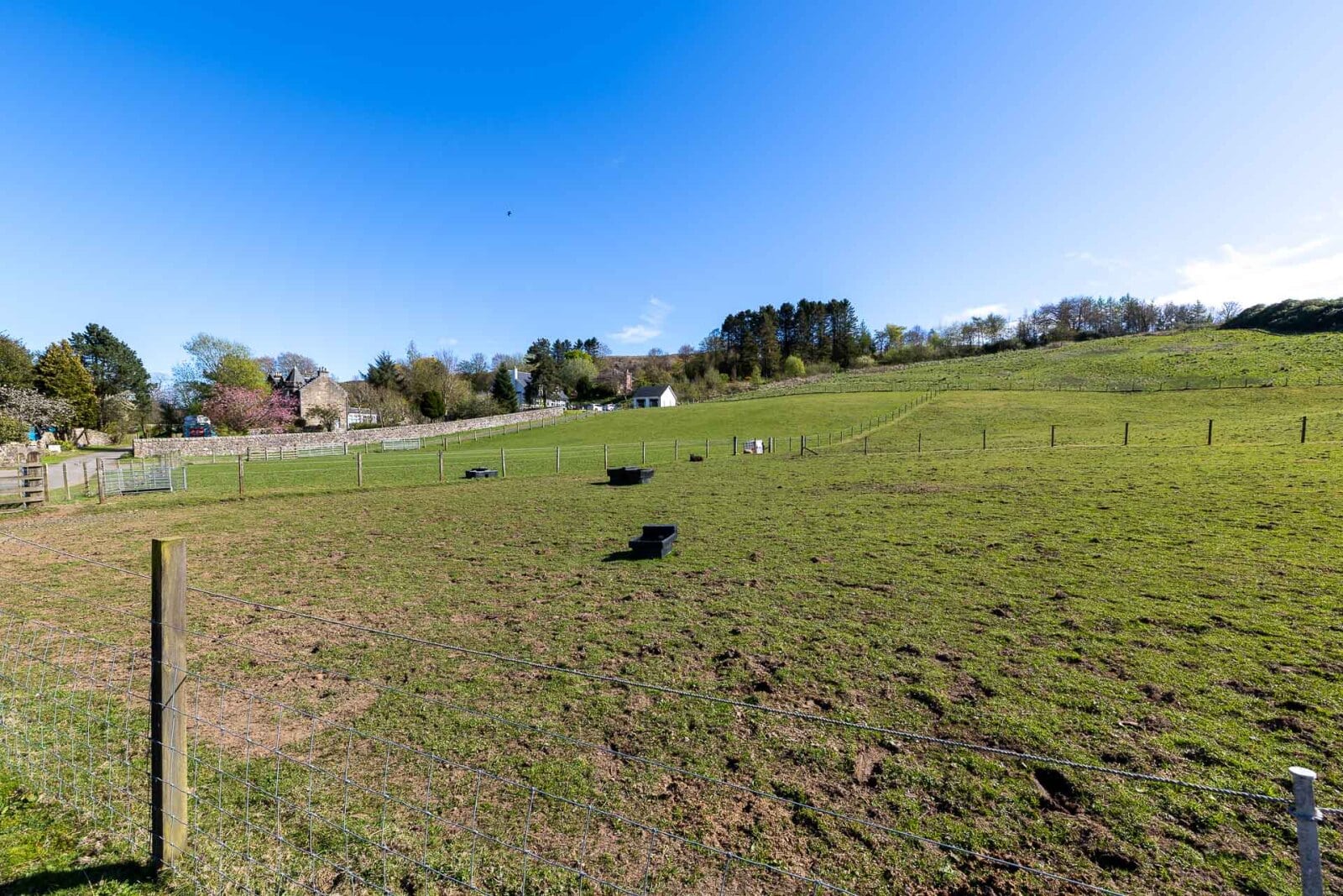
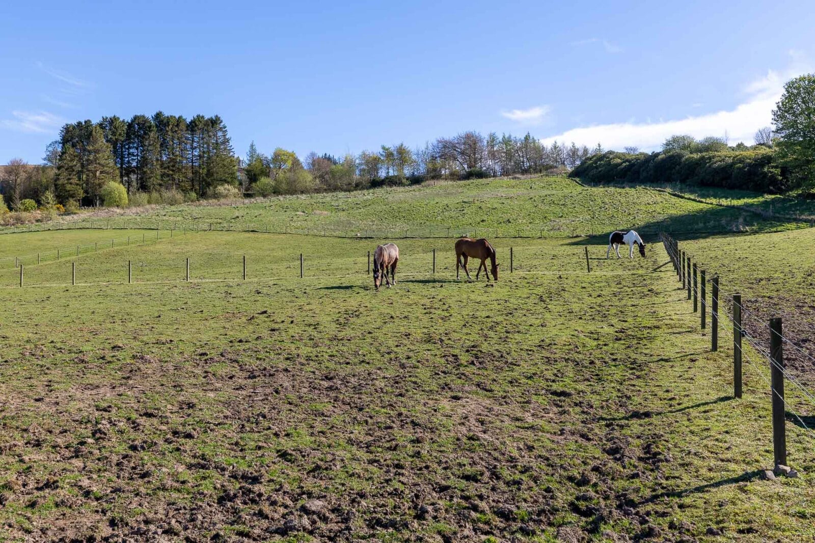
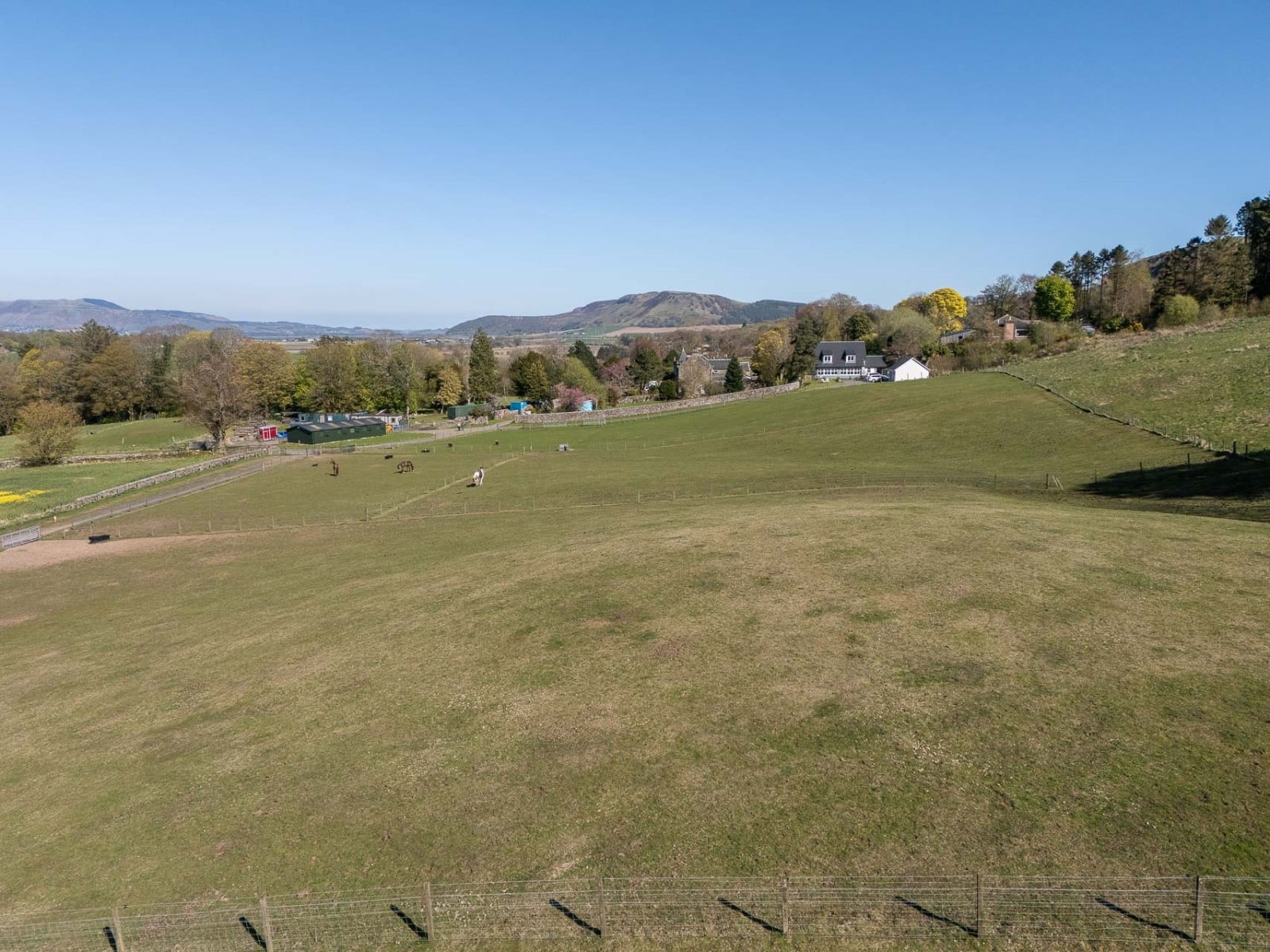
Lot 2 – Equestrian land - 3.11 ha (7.69 acres).
Access to the equestrian land is taken from the main drive directly from the public road, with water and electricity within 100 yards.
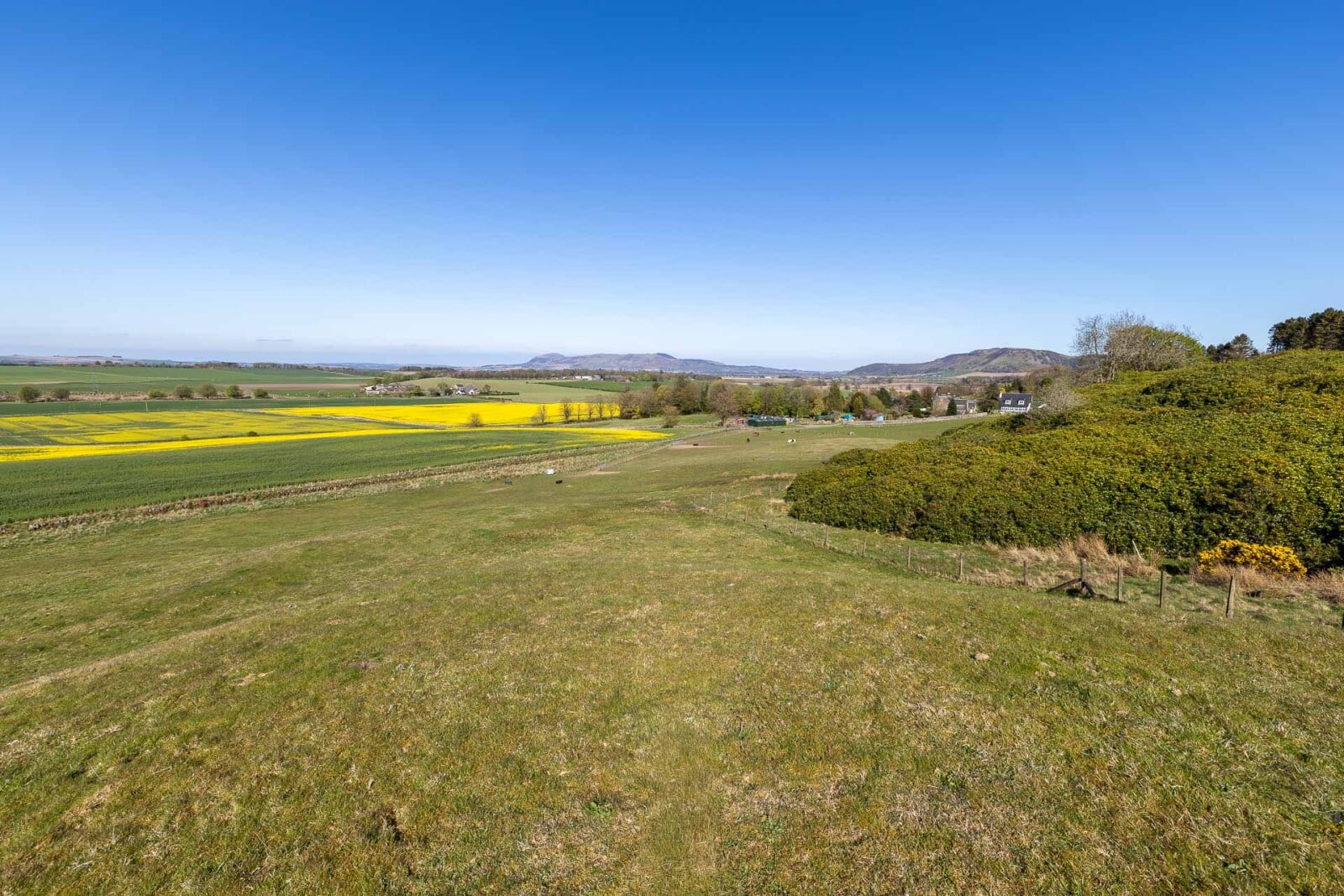
The land lies at an elevation of approximately 140-150 metres above sea level and, according to the Meteorological Office Average Rainfall Chart, the area experiences average annual rainfall of approximately 1,082mm. The James Hutton Institute Land Capability for Agriculture classifies the land as partly Class 3.1 and partly Class 4.1. As with Lot 1, the SEPA Flood Risk Map indicates no risk of river flooding, although limited areas are identified as having a low risk of surface water flooding. The entirety of the land falls within the Strathmore, Fife and Angus Nitrate Vulnerable Zone (NVZ).
On 13 November 2025 Planning Consent (Ref. No. 25/00333/FLL) was granted for the erection of stables, arena, barn, storage building and associated works.