Overview
- About 43.3 ha (107.00 acres)
- Predominantly Grade 3(1)
- Areas of Grade 2
- Modern agricultural buildings
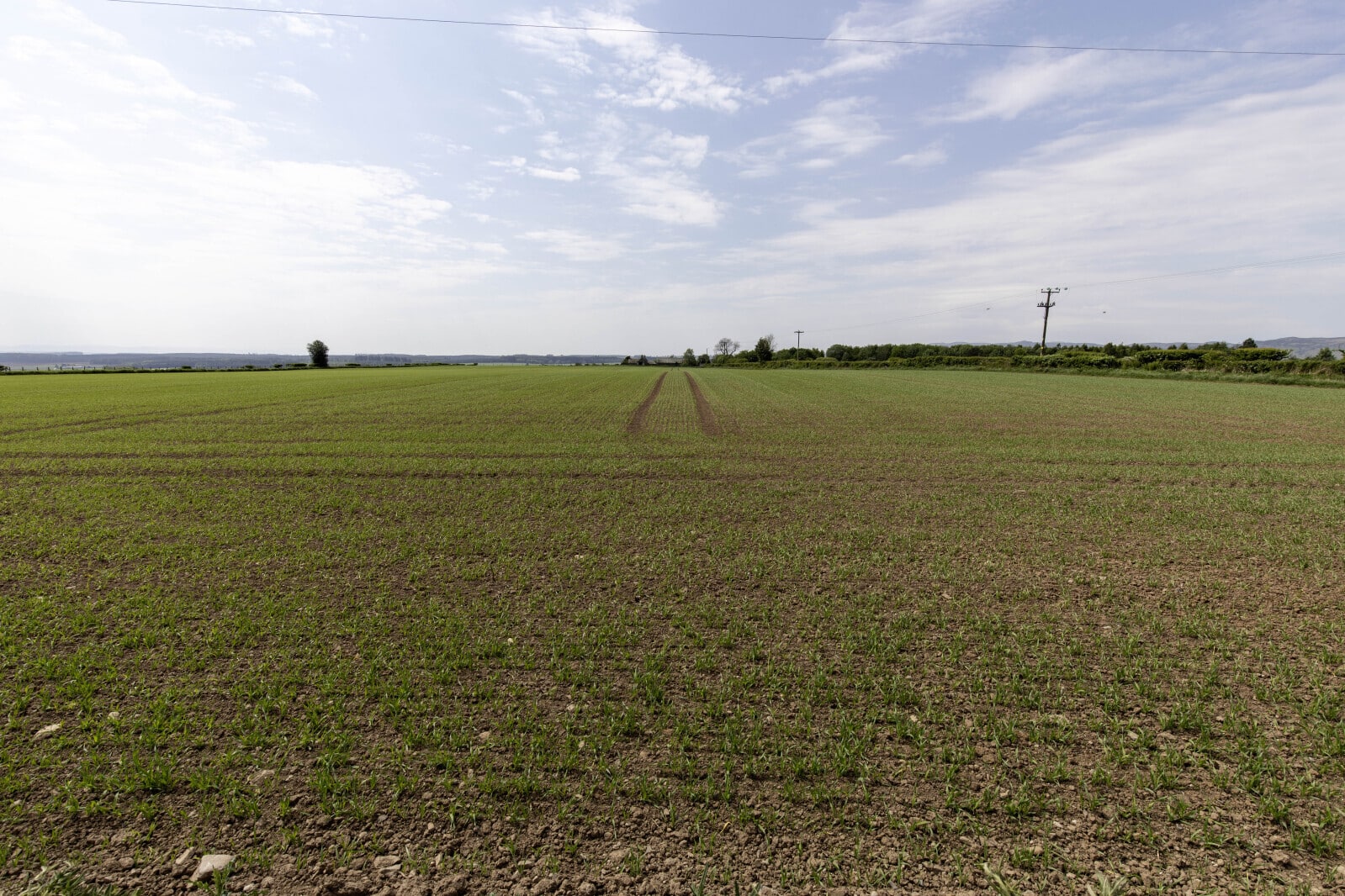
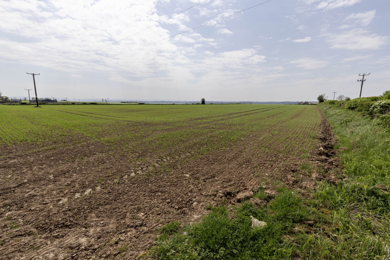
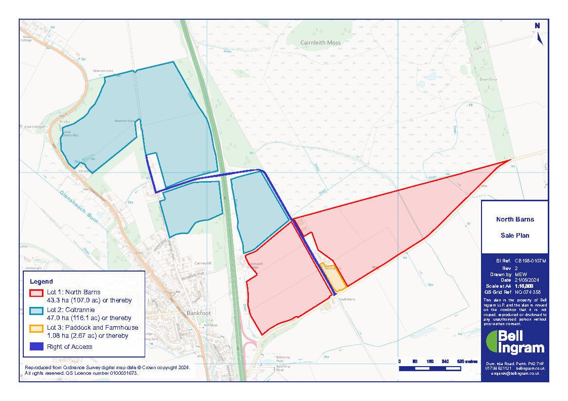
North Barns Farm extends to about 43.3 ha (107.00 acres) and include modern and sizeable agricultural sheds. The land is classified principally Class 3(1), with three fields Class 2 by the James Hutton Institute. It sits about 100 metres above sea level to 110 metres at its highest point.
The ground is predominantly level or gently sloping and is accessed by way of a farm track which is in the ownership of Transport Scotland following a Compulsory Purchase for the upgrading of the A9. The farm and the adjacent residential homes have a right of access over it.
The land has grown a variety of crops over recent years including spring barley, potatoes and peas as noted in the cropping schedule. Currently, there is an area around 4.5 ha (11.11 acres) set aside.
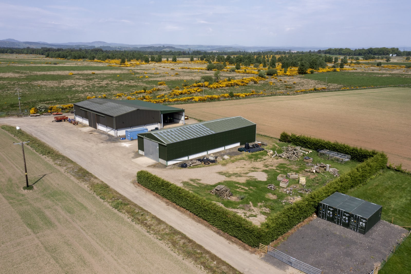
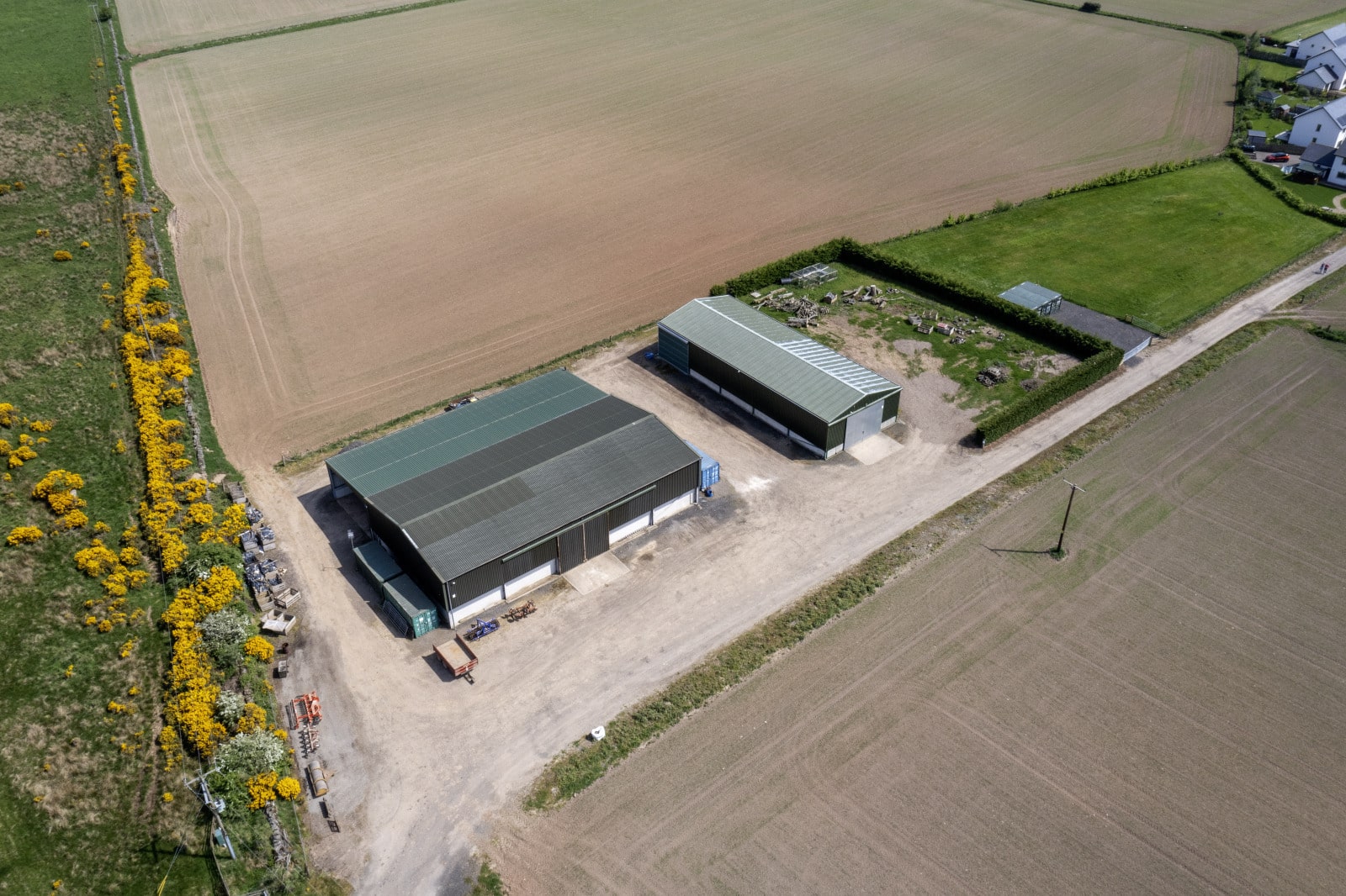
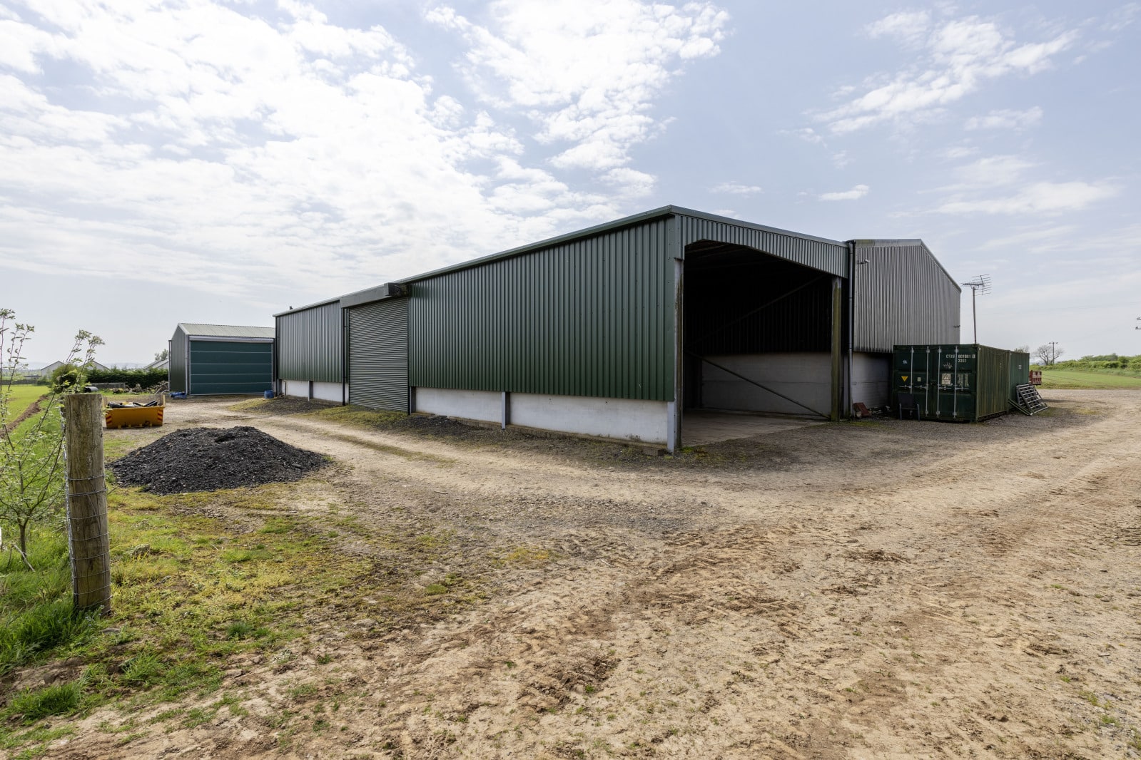
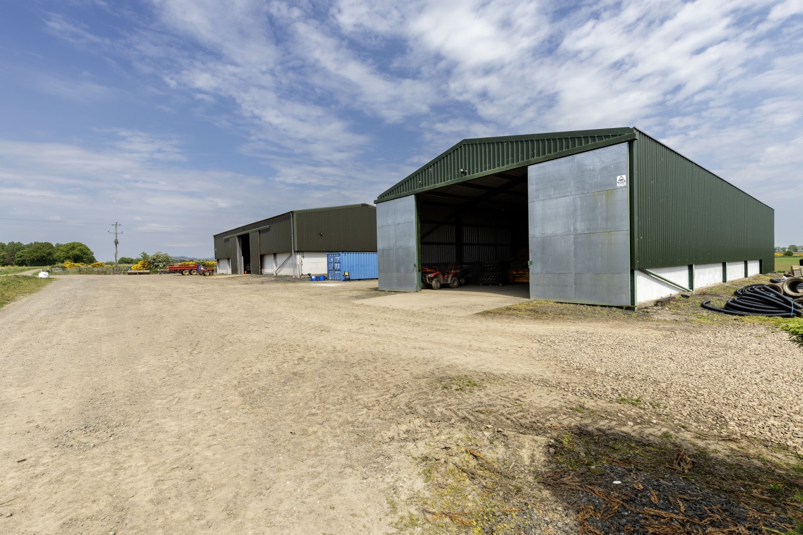
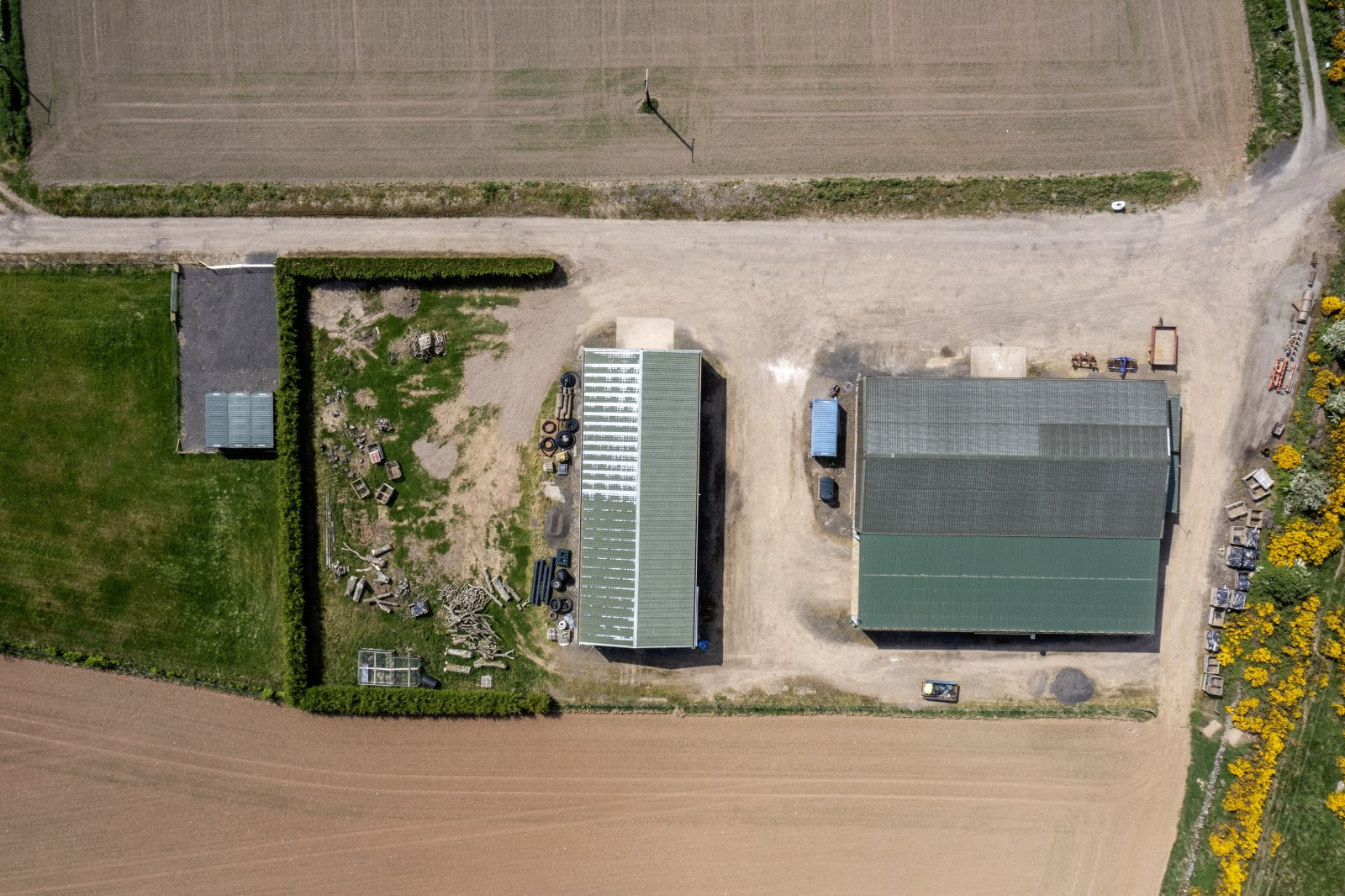
North Barns Farm has modern agricultural sheds to the east side of farm track, detailed below with Lot 1.
Lot 1 – North Barns Farm and modern agricultural sheds
The land at North Barns Farm lies to the east side of the A9 and is accessed from the minor road from Bankfoot to Murthly.
The land lies between the heights of 100m and 110 m above sea level. The area is shown on the Meteorological Office Average Rainfall Chart in the region of 850mm per annum.
The land is shown on the James Hutton Institute Land Capability for Agriculture Plans as being mainly of Class 3(1) with three fields, extending to 16.01 ha (39.56 acres) of Class 2.
The predominant soil type is a brown soil which is part of the Balrownie Association. The areas considered as Class 2, are made up of mineral podzols which are freely draining and part of the Forfar Association.
The indicative SEPA Flood Risk Maps show there is no risk of river or surface water flooding.
The boundaries are a mixture of post and wire fences as well as stone dykes. The farm has previously been utilised for arable cropping although, the boundaries are suitably stock proof.
The farm access is owned by Transport Scotland, with all rights of way in place. This is also shared with the housing development to the north of North Barns Farmhouse.
The farm access also forms part of the Coltrannie to South Barns core path. Path Code: AGVN/117.There are wayleaves in favour of Scottish Water and Scottish & Southern Energy.
The land to the east of the A9 carriageway lies within the Strathmore, Fife and Angus Nitrate Vulnerable Zone (NVZ). The land to the west is not within a Nitrate Vulnerable Zone (NVZ).
Services include mains water and to the farm buildings. Three phase electricity is available close by running along the march boundary wall.
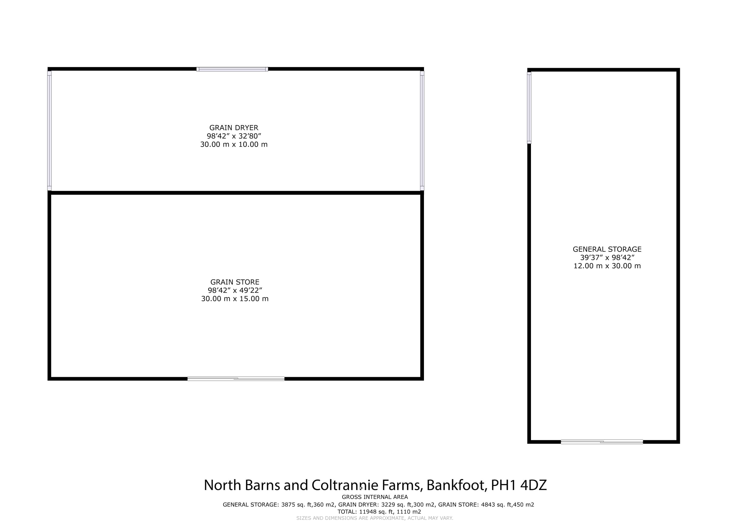
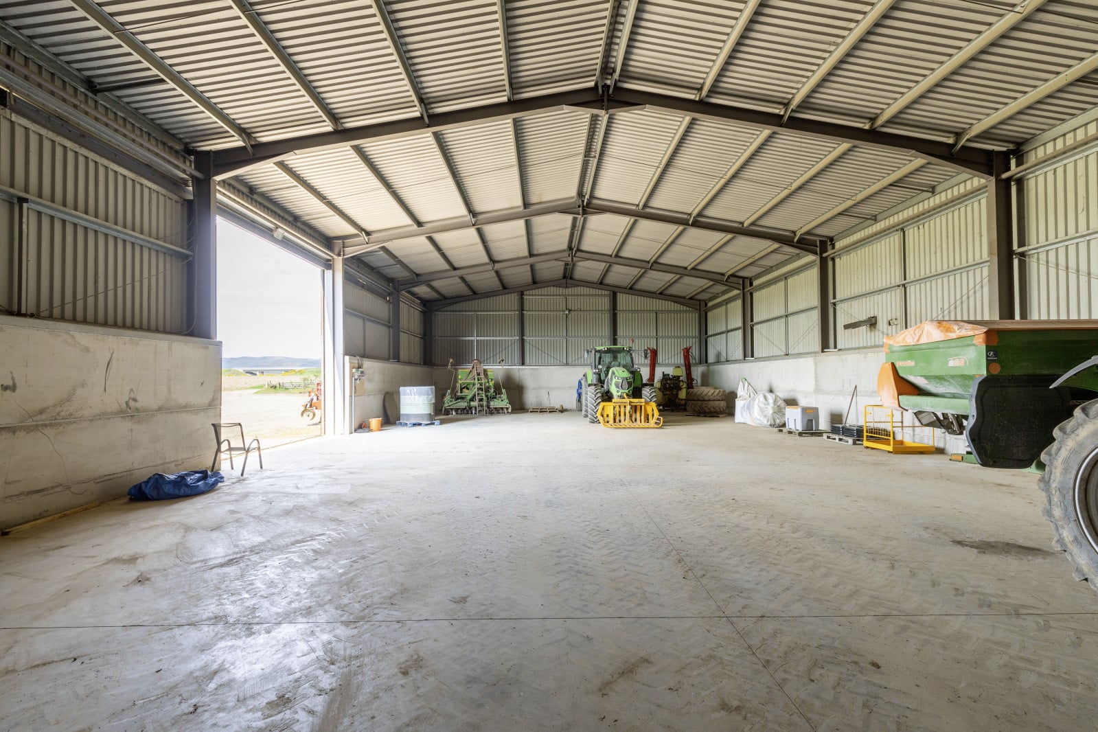
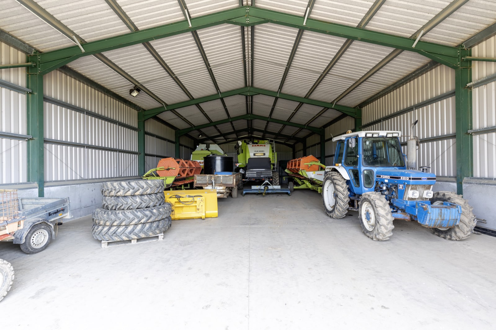
There are three sizable steel agricultural buildings:
Shed 1 – 30m x 15m with 6m height to the eaves, which was constructed in 2008
Shed 2 – 30m x 10m with max 6m height to the eaves, which was constructed in 2010
Shed 3 – 30m x 12m with 5m height to the eaves, which was constructed in 2014.
Services
The agricultural sheds have mains power and water.
Compulsory Purchase
A small amount of land was compulsory purchased for the upgrading of the A9, including the building of the new Coltrannie Bridge between North Barns Farm and Coltrannie Farm. Negotiations are well in hand for a small area of land running adjacent to the farm track to bought back into the farm title.
