
Carl Warden
Perth
01738 621 121


Offers Over
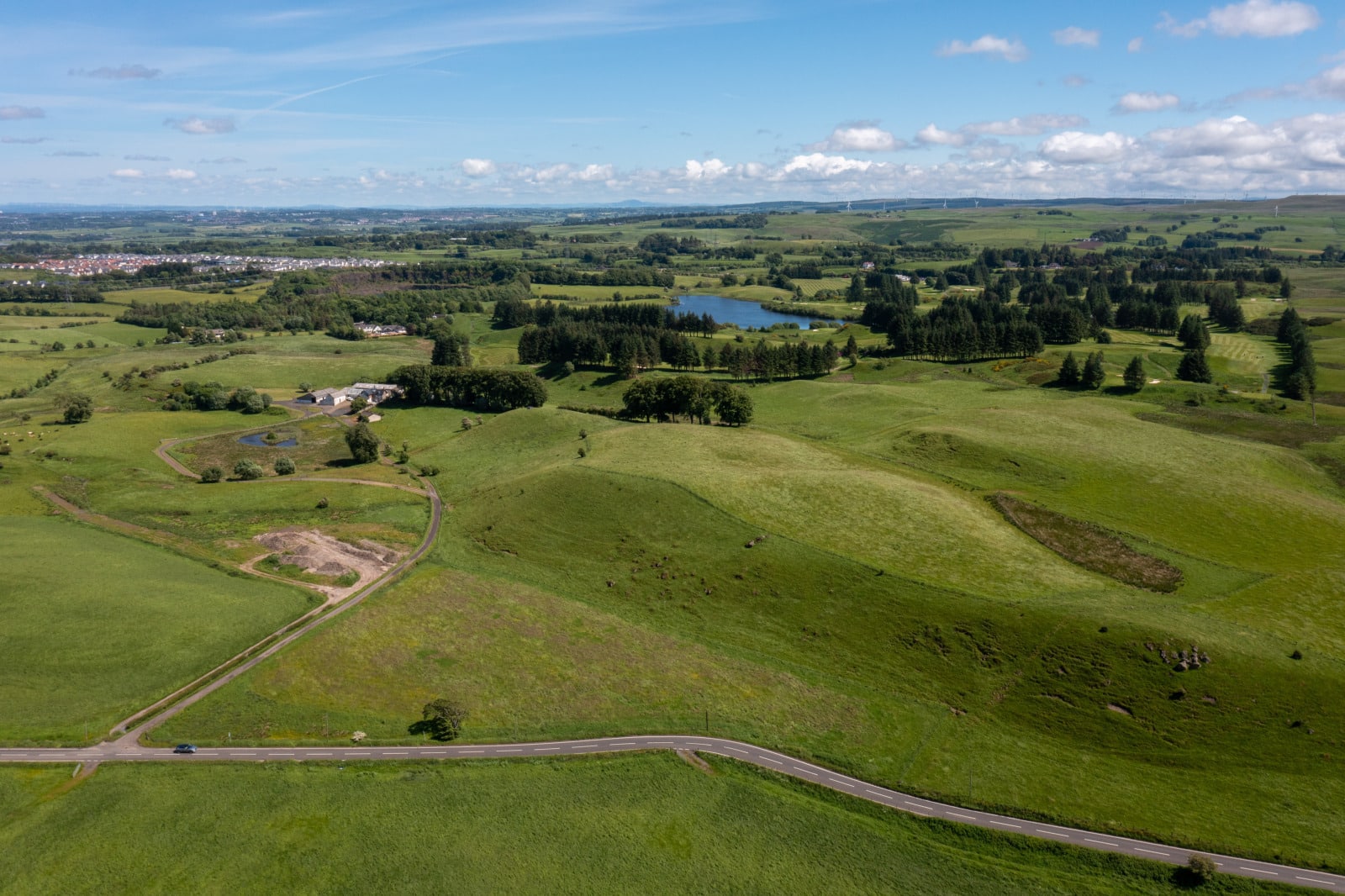
A small farming unit extending to about 21.76 ha (53.77 acres) or thereby.
Lot South Faulds Farm is a compact block of arable land extending to about 21.76 ha (53.77 acres) with outbuildings.
The land which lies in Region 1 and is shown on the James Hutton Institute Land Capability for Agriculture Plans as being mainly Class 5.1 which is land capable of use as improved grassland and potential high yields with some Class 6.3 suitable for rough grazing and low quality plants
Soil Type The soils are of the Darleith Soil Association, being brown earths with peaty gleys.
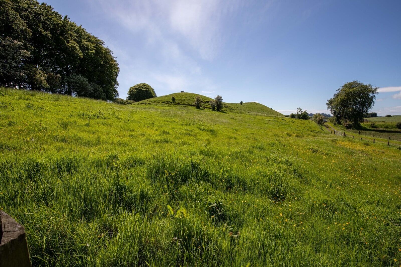
Elevation, Topography and Rainfall
The land lies between the heights of 185m and 195m above sea level. The area is shown on the Meteorological Office Average Rainfall Chart in the region of 1,262 mm per annum.
Drainage/Flood Risk
The indicative SEPA Flood Risk Maps show there is no risk of river or surface water flooding.
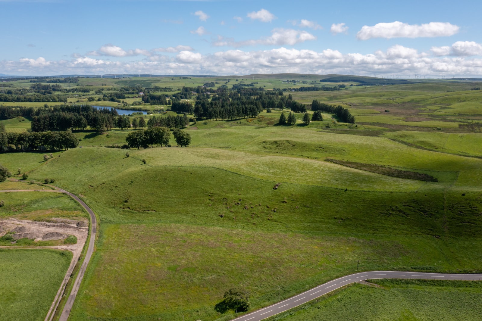
Boundaries
The boundaries are of post and wire fences and are suitably stock proof.
Cropping
The fields are currently being grazed or cut for silage.
Services to the land
There is a water supply to a limited number of cattle water troughs.
Environmental Designations and Grant Schemes
None of the land lies within a Nitrate Vulnerable Zone (NVZ).
IACS
All the farmland is registered for IACS purposes. The farm code is 90/723/0039
Basic Payment Scheme (BPS) 2024
The basic payment entitlements are available for sale by separate negotiation.
Wayleaves and Rights of Way
There are no servitude rights over the farm.
Environmental Designations and Grant Schemes
None of the land is within a Nitrate Vulnerable Zone (NVZ).
Sporting
In so far as these rights form part of the property title, they are included within the sale.
Mineral Rights
The mineral rights are included.
Health & Safety
The property is a working farm with equipment present. Appropriate caution must always be exercised during viewings, especially when in the farm buildings or fields.
Local Authority
The local authority is East Renfrewshire Council, Eastwood Park, Rouken Glen Road, Giffnock G46 6UG